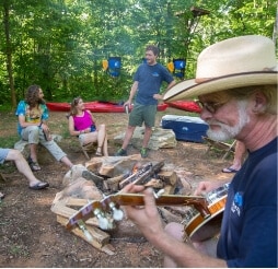
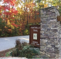
Enjoy hiking the Foothills Trial starting at Oconee State Park. Or visit the Walhalla Fish Hatchery which is the only trout hatchery in the state of South Carolina. Popular Chattooga River access points are located in Mountain Rest, as are horse trails and horse camping opportunities.
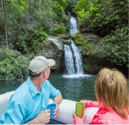
Many of Oconee’s waterfalls are concentrated in this mountainous area.
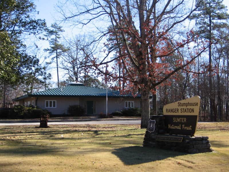
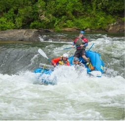
Headquartered at Stumphouse Ranger Station. Andrew Pickens Ranger District is located in Oconee County on more than 85,000 acres in Sumter National Forest. Popular attractions on the district include: hunting, fishing, hiking, fall color sightseeing, camping, horseback riding, and whitewater activities on the wild and scenic Chattooga River.
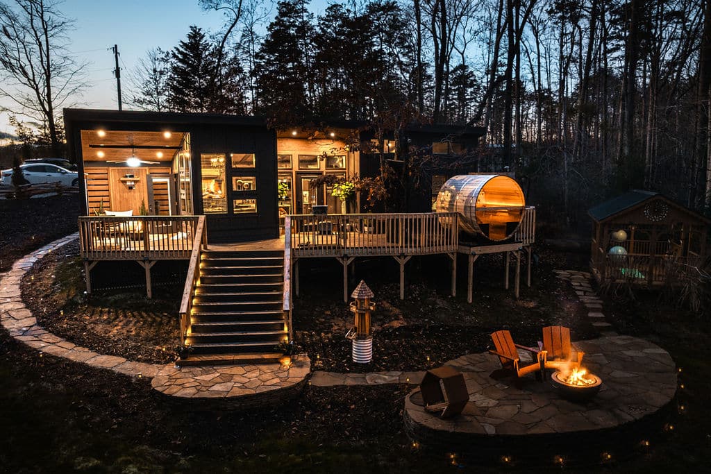
Discover Soulrest Sanctuary—a private couples’ thermal retreat in the Mountain Rest, South Carolina. Enjoy a rustic sheltered hot tub, elevated panoramic window barrel sauna, and luxury comforts in seclusion and privacy. Perfect for romantic escapes and wellness getaways, just minutes from Oconee County’s top outdoor attractions. Use code LOCALLOVE10 for 10% off your stay!
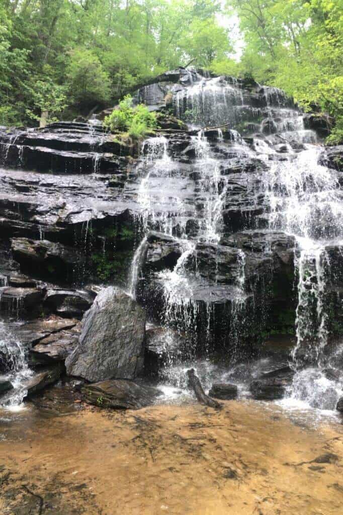
Largest vertical drop of the Chattooga River is a sight to see with a 30 ft. drop. It is a difficult 3 hour walk that we recommend for adventurous, expert hikers.
GPS Coordinates to parking area: N 34.97128 W 083.11465
This 2.7-mile, out-and-back trail begins a the Cherry Hill Recreation Area and eventually ends at a junction with the Foothills Trail along the Chattooga River. An adventurous scramble on an unmaintained trail along the river affords views of 30-ft. Big Bend Falls, the largest drop on the Chattooga River.
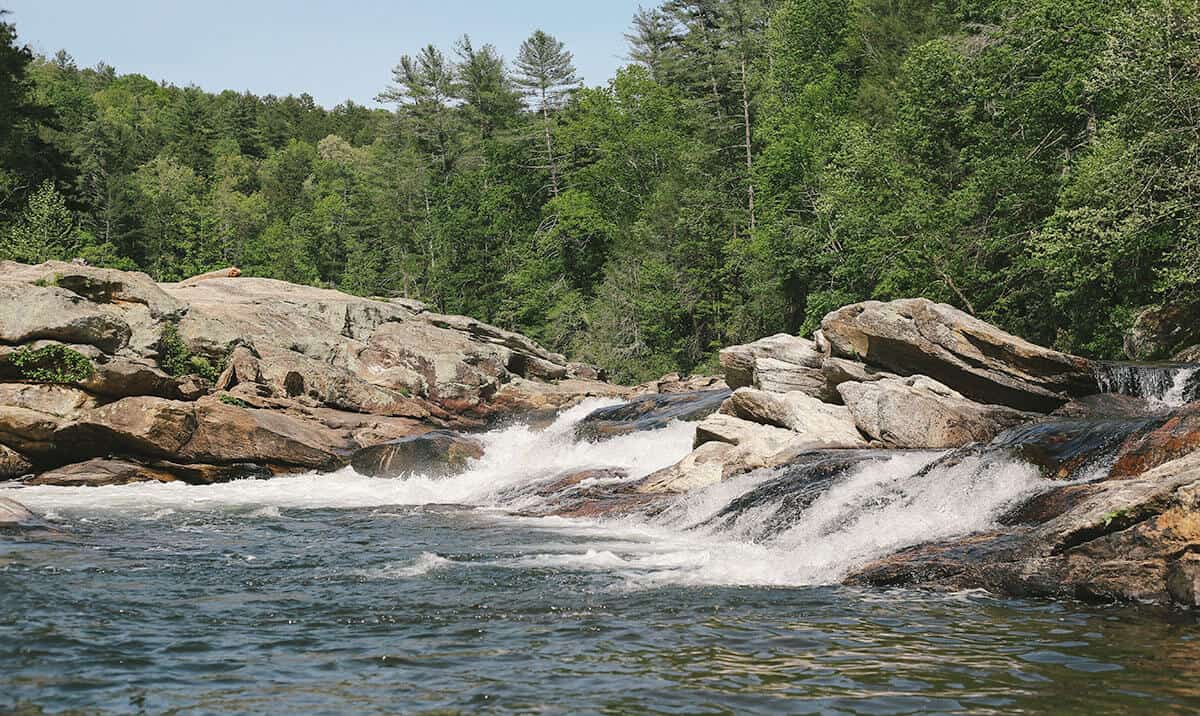
Bull Sluice is a Class Five rapid on Section III of the Chattooga River. This is a popular place to view rafting trips running the rapid. It’s a short .2 mile hike from the Hwy 76 Chattooga River Access parking lot. Follow the trail downhill to where it forks, and go right along the gravel trail to reach a viewing area. Depending on your mobility level, you can walk on huge rocks on the side of the river to get a better view. (The left fork takes you to a beach downstream of the rapid.)