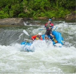
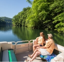
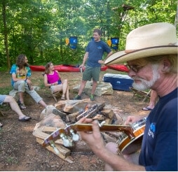
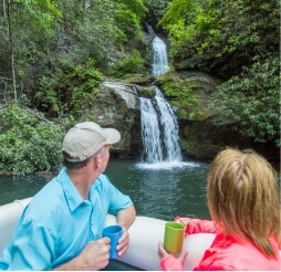
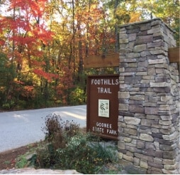
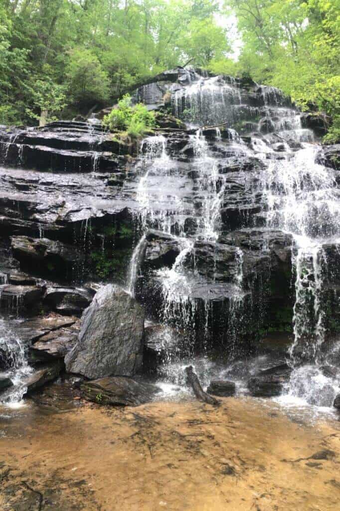
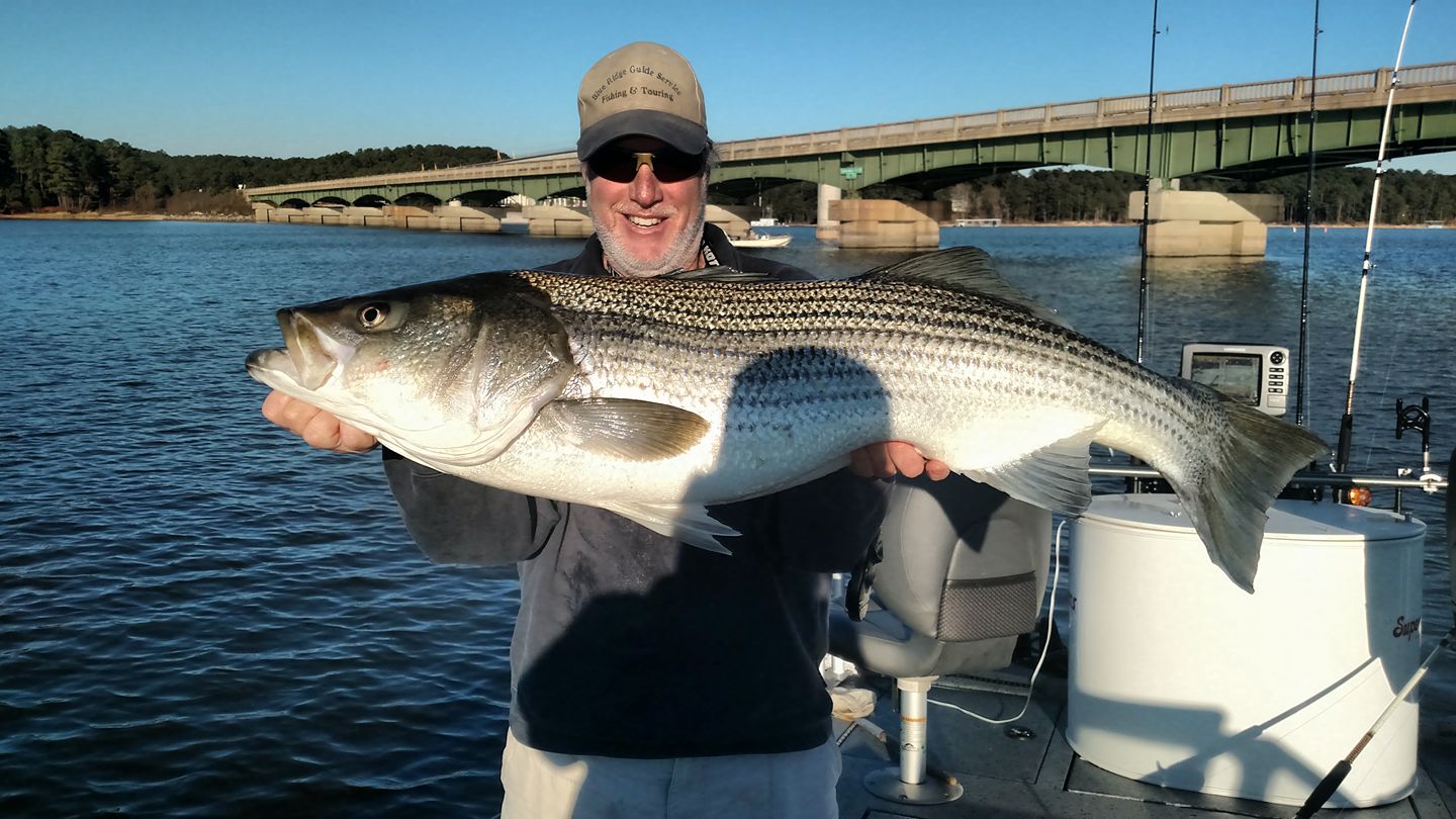
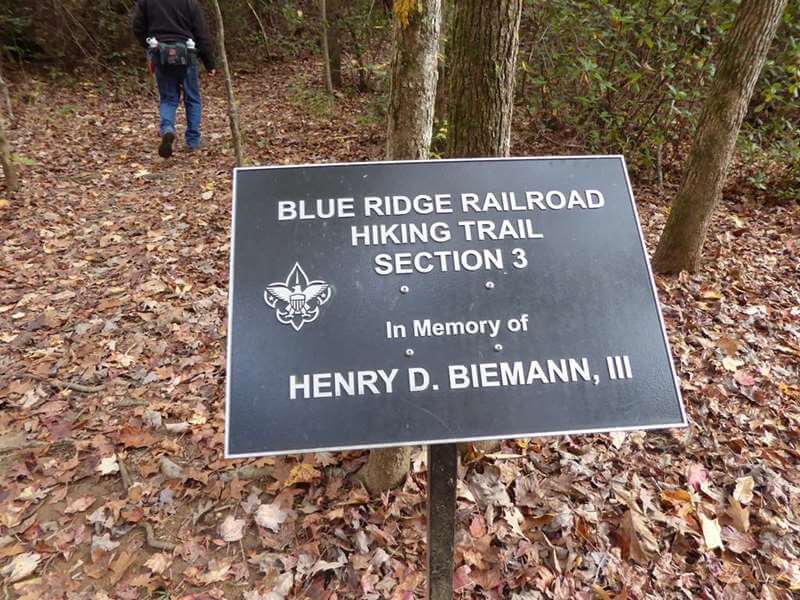
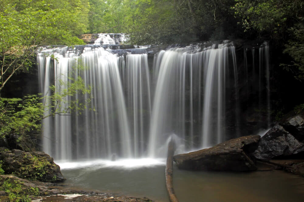
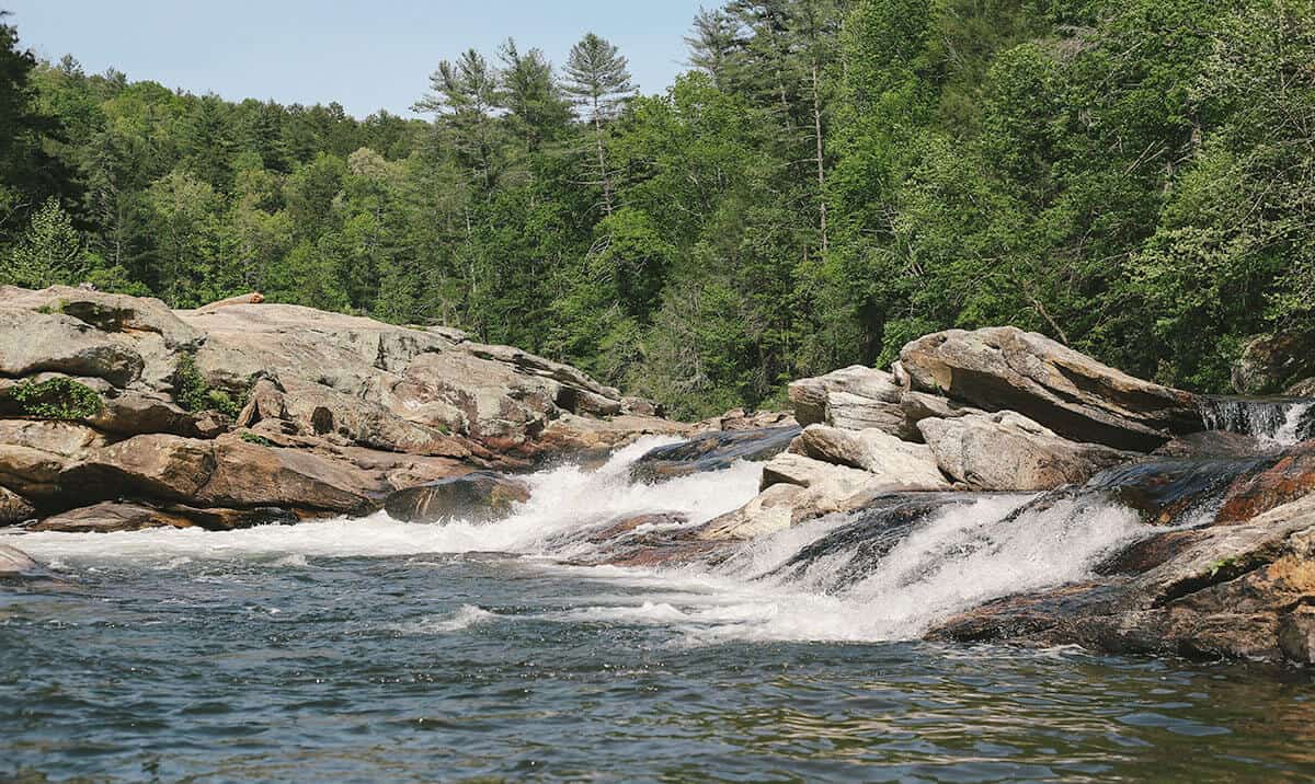
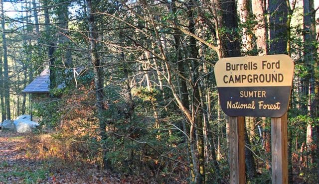
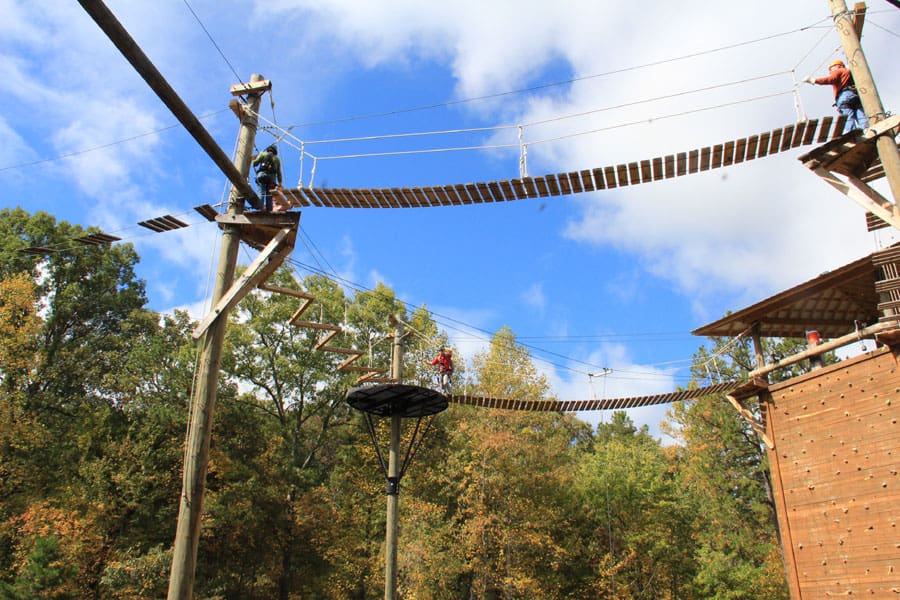
Oconee County, SC is packed with activities for every type of adventurer. Explore miles of hiking and biking trails through lush forests, paddle the sparkling lakes and rivers, or cast a line at one of the area’s prime fishing spots. From family-friendly attractions and golf courses to thrilling outdoor adventures like ziplining, kayaking, and mountain climbing, there’s no shortage of ways to play in Oconee County.

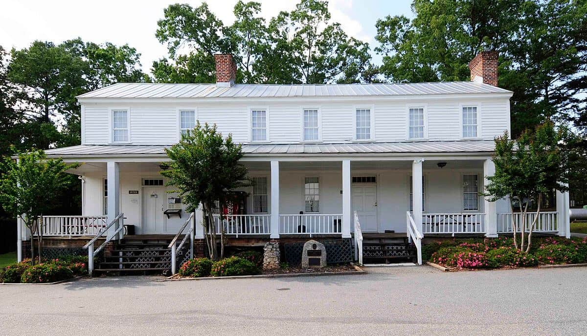
Salem, SC
Get Directions >

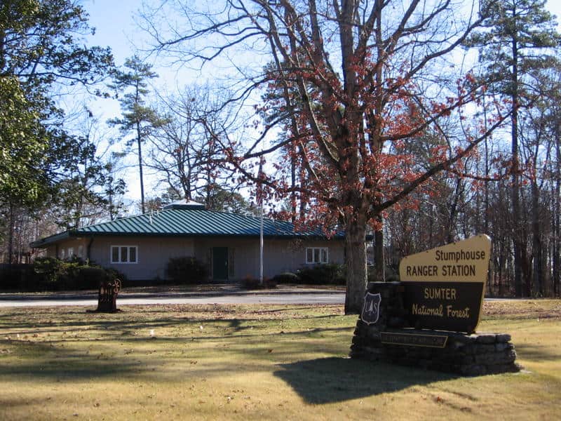
Salem, SC
Get Directions >


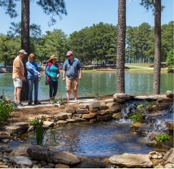
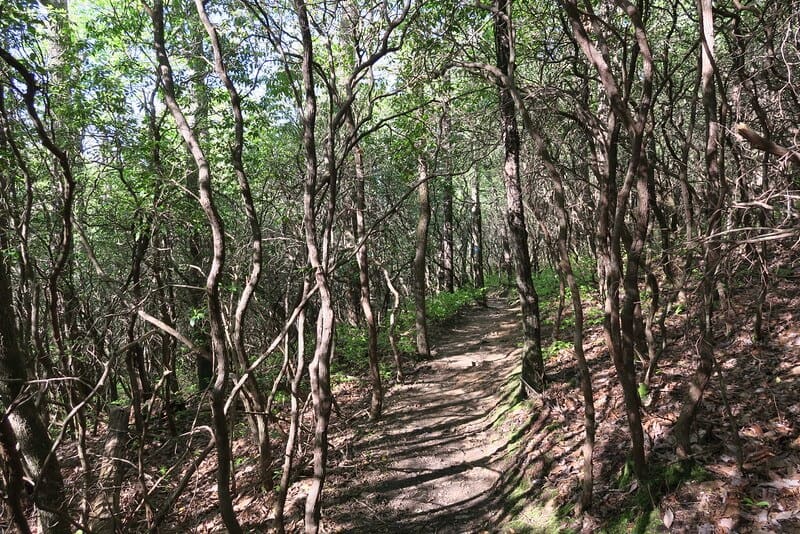
Lake Jocassee
Get Directions >


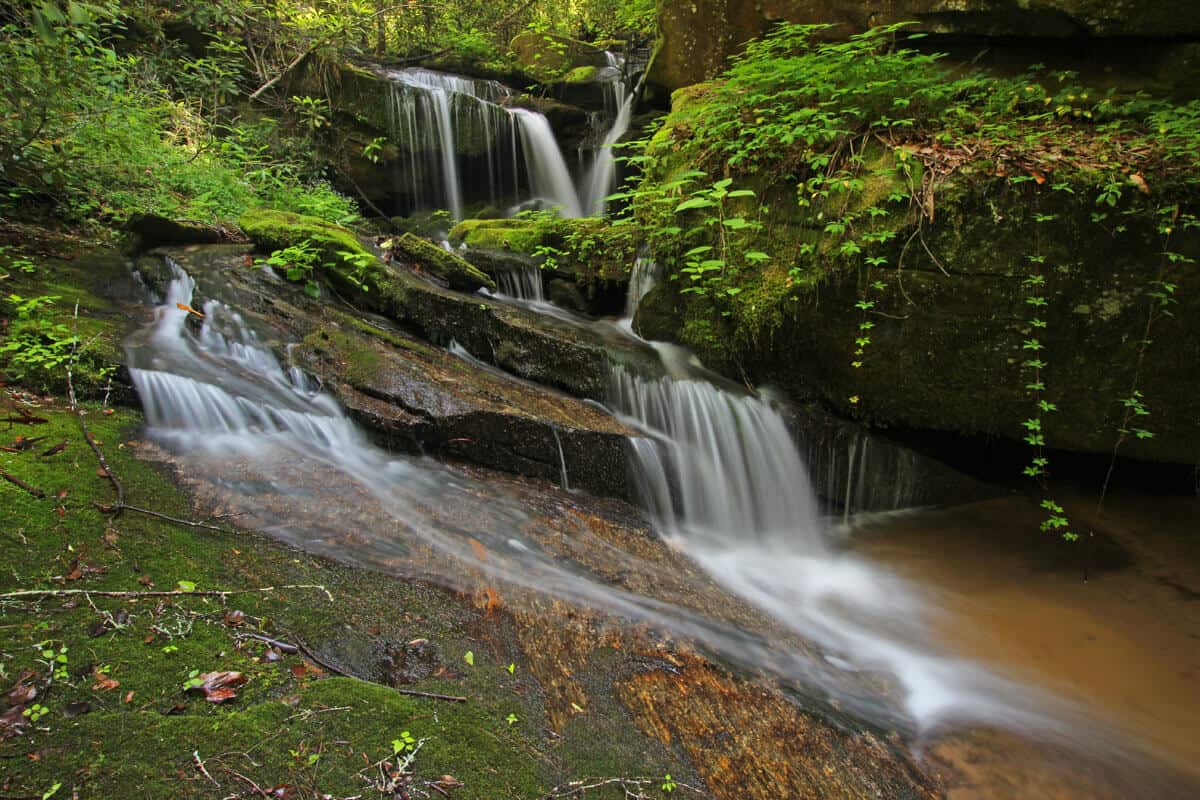
Fair Play, SC
Get Directions >


Before you leave, subscribe to our newsletter with monthly events and happenings in Oconee County, South Carolina.