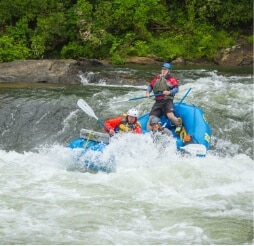
In Oconee County, SC the great outdoors includes access to 200+ miles of trails, 29 waterfalls, 200,000 acres of Sumter National Forest, 4 lakes, 4 state parks and 3 county parks!
Travel Tip:
ARRIVE EARLY
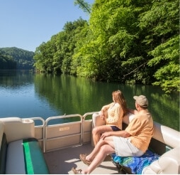
Especially if you are coming to enjoy a day on Lake Jocassee or Lake Keowee.
Parking at lake public access points is limited.
Devils Fork State Park–the only public access for Lake Jocassee–is a very popular destination. Depending on the season, the parking lot gets full early in the day. If you’re not there by 9:30AM, you will likely be turned away.
Roads near Lake Keowee have been experiencing heavy traffic. We strongly discourage parking in private neighborhoods along the lake.
Note: The restaurants listed below offer outside seating.
Share
W.P. Anderson Park
Westminster, SC Get Directions >
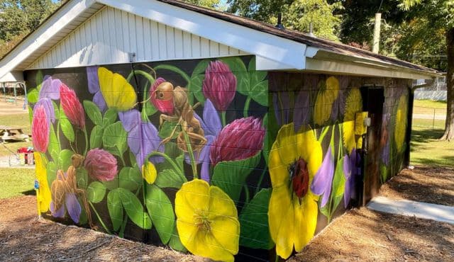
The park is near the Westminster Library. It features a playground, public restrooms and two covered picnic shelters. The Pavilion Shelter has picnic tables, electrical outlets, and a charcoal grill. Rental Fee: $35 for 3 hour rental. The Picnic Shelter is a covered picnic area with tables. Rental Fee: $25 for 3 hour rental. Call (864) 647-3200 or email sholbrooks@westminstersc.org to rent. {Melody Davis from Gateway Arts Center painted the vibrant mural on the public restroom building.}
This 1.0 mile section of Walhalla’s Wanderweg Trail is paved and easy to access. The trail connects neighborhoods and several of the city’s landmarks including: Kaufman Square Park, the Earle House, and the Walhalla library.
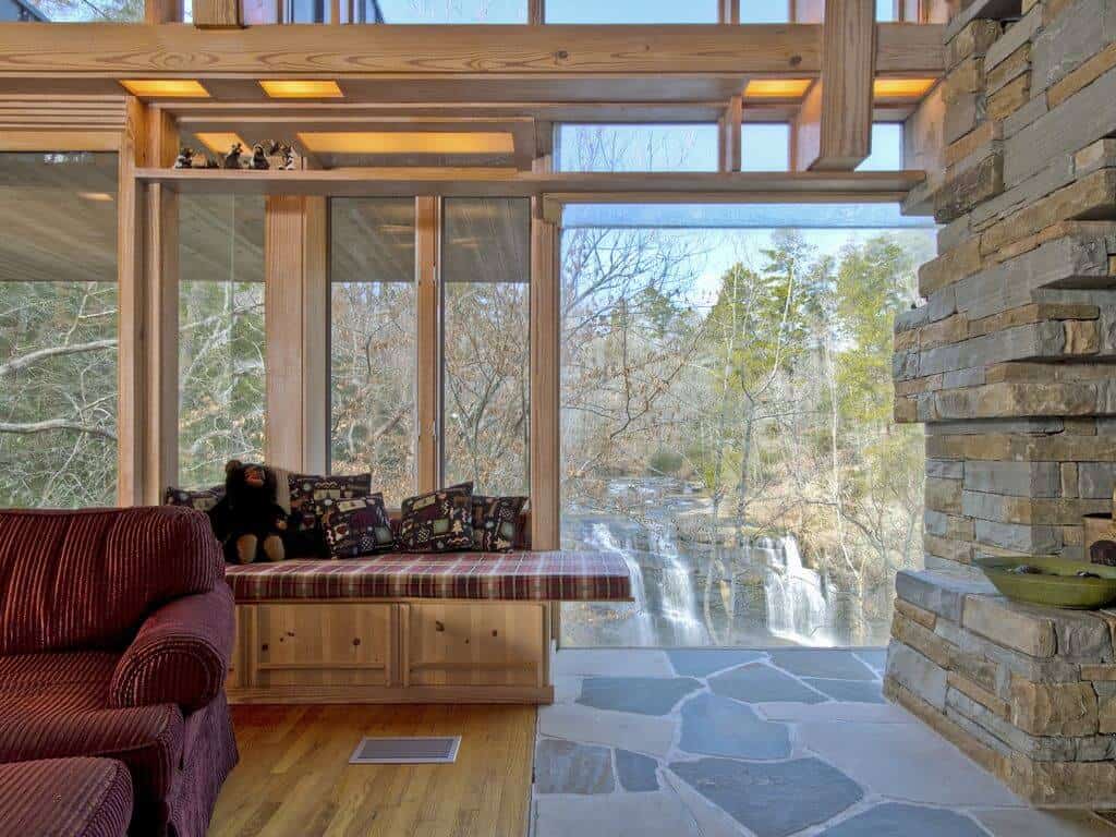
Very unique! 1,200 sq. feet great for couple get away with option to sleep 4. Enjoy nature with 90+ acres to roam. Paths for long walks or mountain bikes. Architect James Fox designed this cliff side home overlooking a beautiful fall. Feel like you are in the trees in an area much as it was when inhabited by Cherokee Indians. Stream feeds into Lake Hartwell. Boat slips are close by to provide big water access.
Located on Lake Hartwell, the club is dedicated to promoting the sport of sailing and sailboat racing. A non-profit organization with an active membership dedicated to making sailing an enjoyable experience.
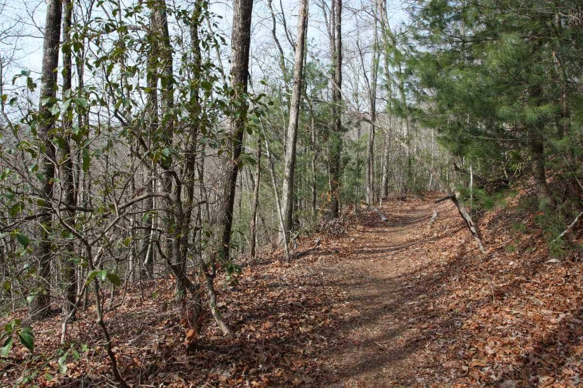
A 75-ft waterfall tucked away along this accessible 3.5 mile trail makes this an interesting choice for a hike. If you start at the northern trailhead at the Cherry Hill Recreation Area, this meandering path is an easy hike, but the return trip is moderately difficult due to 1,100 foot elevation change. It is possible to be picked up by car at the southern end of the trail on Tamassee Road (FS 71). Alternatively, you can begin the hike at the southern end.
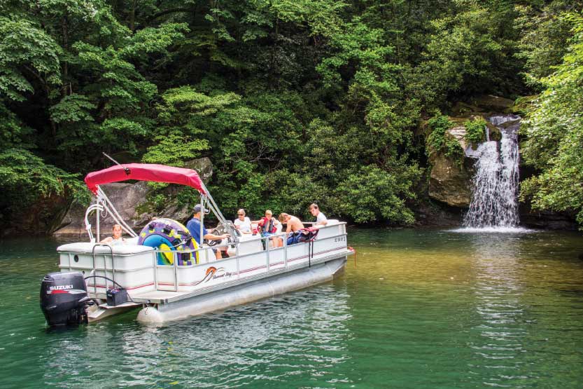
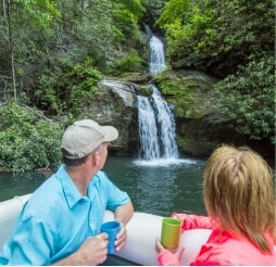
Located on Lake Jocassee, this falls is only accessible by boat. Launch from Devils Fork State Park (parking fee required). Boat rentals and lake tours available. Stop by Devils Fork State Park for map and directions. GPS coordinates for Devils Fork State Park: N 34.952139 W 82.946134
CAUTION: This hike has grown in popularity which has caused the trail to become more dangerous. It takes approximately 45 minutes to reach the falls and 45 minutes back out.
Wear shoes with good traction, pack water, and be prepared for pop-up rain storms. No cell service in the forest.
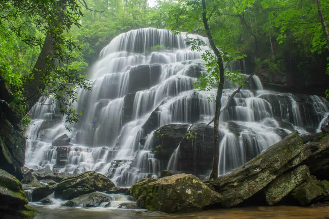
Impressive 60 ft. cascade over rock ledges is a favorite destination for visitors. Hike is 3 miles round trip. CCC era picnic shelter on site. GPS coordinates to the parking area: N 34.80557 W 083.12876