Outdoors

Search

Opportunities galore for exploring outdoors…

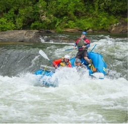
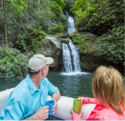
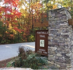
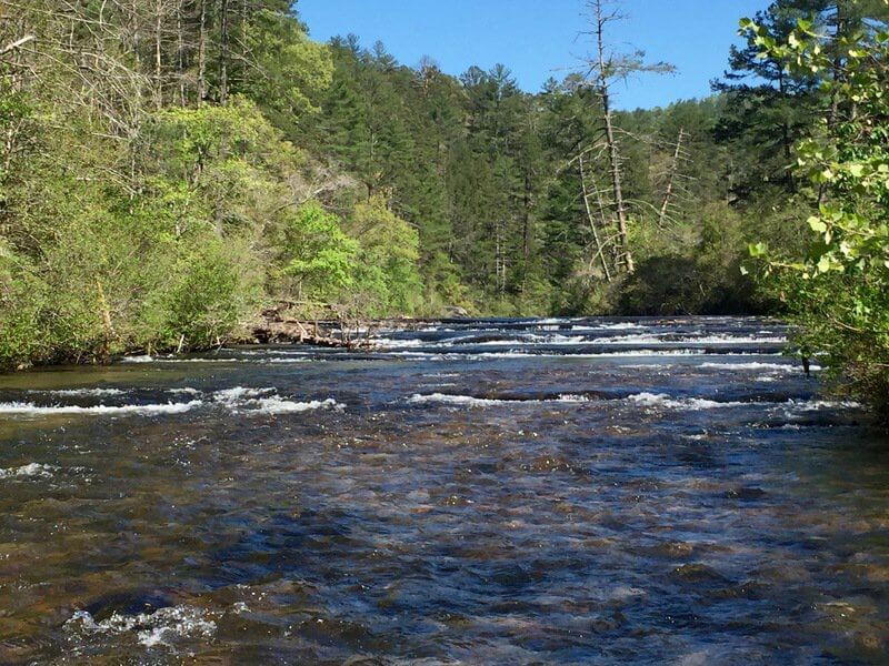
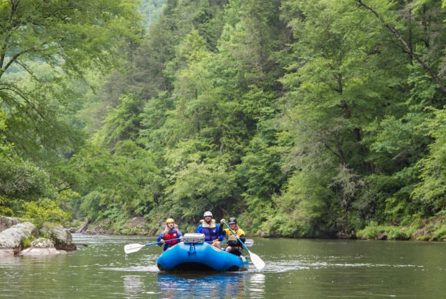
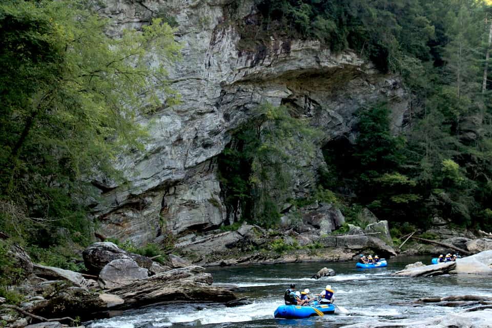
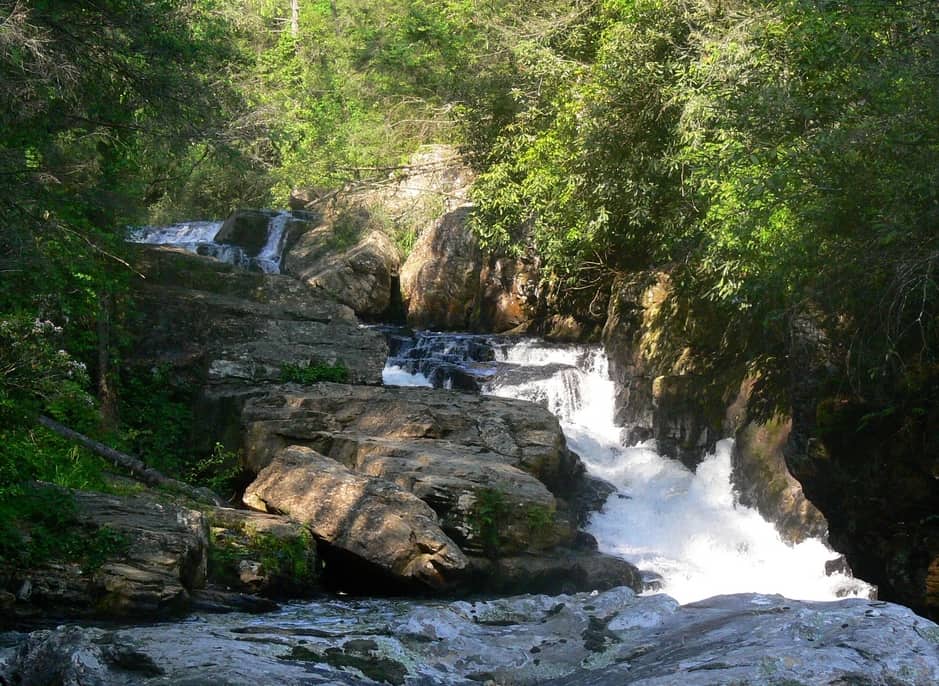
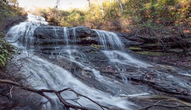
In Oconee County, SC the great outdoors includes access to 200+ miles of trails, 29 waterfalls, 200,000 acres of Sumter National Forest, 4 lakes, 4 state parks and 3 county parks!

Travel Tip:

ARRIVE EARLY

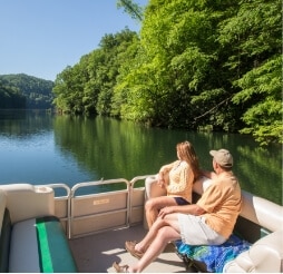
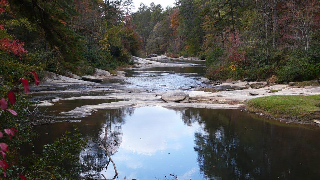
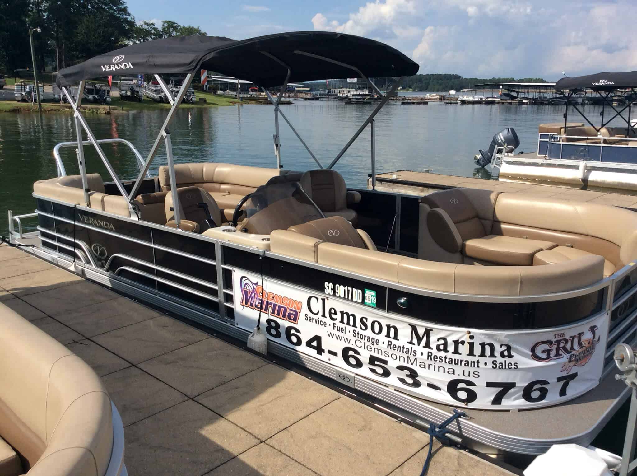
Especially if you are coming to enjoy a day on Lake Jocassee or Lake Keowee.

Parking at lake public access points is limited.

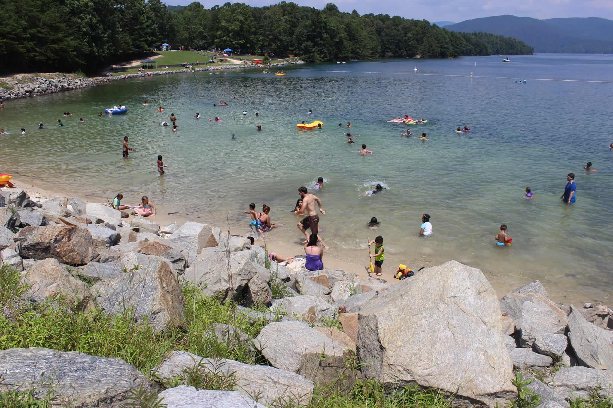
Devils Fork State Park–the only public access for Lake Jocassee–is a very popular destination.  Depending on the season, the parking lot gets full early in the day.  If you’re not there by 9:30AM, you will likely be turned away.

Roads near Lake Keowee have been experiencing heavy traffic.  We strongly discourage parking in private neighborhoods along the lake.


Note: The restaurants listed below offer outside seating.

image for Carolina Landing

Share

Carolina Landing RV Campground

Fair Play, SC
Get Directions >

Located on the banks of Lake Hartwell, this pet-friendly campground has 227 sites suitable for RVs and tents. They also have 6 cabins, an outdoor pool, club house, ping pong, mini golf and more.

Share

Carolina Pizza Company

Pizza, salads, sandwiches, beer. Open Wednesday – Sat 11:00 AM – 9:00 PM
photo of sign for Cassidy Bridge Campground

Share

Cassidy Bridge Hunt Camp

Located on the Chauga River, this campground is open and free to use during big game season (Oct. 1 – Dec. 31) and turkey season (April 1 -30). Other times of the year, the camp is open by reservation for $30/night. The campground has vault toilets and trash cans. It can accommodate groups of up to 100 people. Families like to reserve the camp for reunions, cookouts and camp outs. The Chattooga River and commercial outfitters are within 15 minutes of the campground.
photo of mural artist at Chattooga Belle Farm

Share

Chattooga Belle Farm

Located high up on a water tower, this mural compliments the natural beauty of the farm while highlighting some of the fruits grown there. Aerosol, 2020.
photo of the Chattooga River in the winter

Share

Chattooga River

The Chattooga River is the boundary between GA & SC. It is nationally designated as Wild and Scenic and is protected from development. Known for whitewater rapids, and meandering, mountainous woodland passage. The lower sections of the Chattooga are considered among the best whitewater in the SE with heart-thumping Class III to Class VI rapids.

Share

Chattooga River – Section 1

Section 1 is the West Fork of the Chattooga River. It’s a 6-mile stretch that is ideal for tubing and Class II float trips.

Share

Chattooga River – Section 2

Section 2 is a good beginner whitewater section with class I and II rapids. This 7 mile run is a good day trip with opportunities to stop and picnic on large boulders, or stop to fish for trout. The Chattooga has excellent opportunities for fishing, camping, and hiking.

Share

Chattooga River – Section 3

Long Creek/Mountain Rest, SC
Get Directions >

Section 3 is a 13-mile beautiful stretch of river with intermediate to advanced whitewater. Its a 4-6 hour trip down river. Section 3 put-in is at Earls Ford, and the take-out is the Highway 76 Bridge. There is 1/4 mile hike in and out of the river. The Chattooga River is under the jurisdiction of the US Forest Service. There is a self-permit system (no fee), where you fill out a form, drop a copy at the box near the put-in and carry the other copy with you down the river.

Share

Chattooga River – Section 4

Section 4 is one of the most well-known sections of whitewater in the U.S. This 8-mile section includes major whitewater including Class IV-V rapids. It takes 4-5 hours to raft or paddle Section 4. Put-in at the Highway 76 Bridge, and take-out at Lake Tugalo. There is 1/4 mile hike to and from the river. The Chattooga River is under the jurisdiction of the US Forest Service. Anyone paddling on the river needs to fill out a permit (at the put-in) prior to getting on the river.

Share

Chattooga Trail

15.5 mile trail that runs parallel to the famous Chattooga River, and shares 8.5 miles with the Foothills Trail. It passes through some of the finest wilderness in South Carolina. The northern terminus of the Chattooga Trail is Ellicott Rock, where Georgia, North Carolina and South Carolina meet. Waterfall lovers shouldn’t miss this trail, since you can see King Creek, Spoonauger, Big Bend, Pigpen and Licklog Falls at points along the trail.
photo of chairs overcooking pasture

Share

Chattooga Trails Bed & Barn

Mountain Rest, SC
Get Directions >

Variety of lodging for people and their horse companions. Main house guest rooms, Hunters Hideout basement apartment, RV sites with full hook ups and Sheep Wagon glamping. For horses: paddocks, pasture, barn, or tied up at a hitching post beside RV sites. Ride out from the property 1.5 miles to the Rocky Gap Trail System where you can ride for miles. Trails lead to the Chattooga River and cross into GA. Come back and end your evening by the campfire in the quiet setting.

Share

Chau Ram County Park

Over three miles of hiking trails and a mile of the Chauga River runs through the park. Tubing, hiking, fishing, picnicking, camping and sight-seeing are popular activities. The park has 26 campsites with water and electricity; four rental areas for parties and gatherings; a playground; and is a favorite spot for weddings. $3 park entry fee.

Sign up to know what’s going on in our towns!

Before you leave, subscribe to our newsletter with monthly events and happenings in Oconee County, South Carolina.

Name
This field is for validation purposes and should be left unchanged.