Towns
Winding Stairs Trail
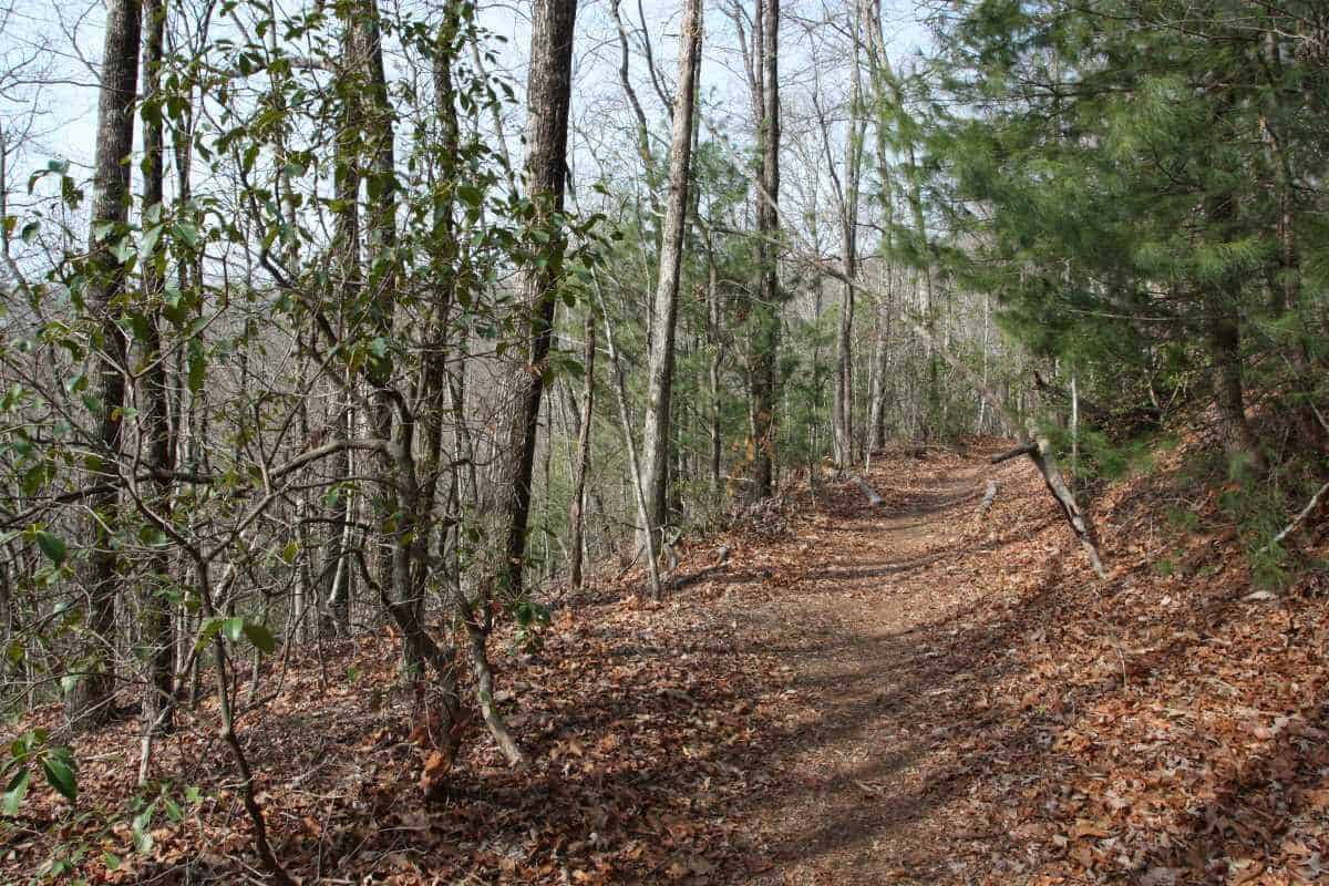
A 75-ft waterfall tucked away along this accessible 3.5 mile trail makes this an interesting choice for a hike. If you start at the northern trailhead at the Cherry Hill Recreation Area, this meandering path is an easy hike, but the return trip is moderately difficult due to 1,100 foot elevation change. It is possible to be picked up by car at the southern end of the trail on Tamassee Road (FS 71). Alternatively, you can begin the hike at the southern end.

Windsor at Walhalla
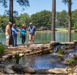
Formerly known as Falcon’s Lair. The course features 6,866 yards of golf, designed by Harry Bowers, from the longest tees for a par of 72 . The course rating is 74.4 and it has a slope rating of 135. James McCoy manages the course as the Golf Professional. PGA instruction available. The course is open year round.

Wishbook Furnishings
40%-50% savings everyday on furniture and accessories.

World of Energy
An educational component of Duke Energy. The World of Energy is located on the shores of Lake Keowee at Oconee Nuclear Station in Seneca. Visitors can experience a free self-guided tour through the World of Energy museum which explains the history and process of energy production.

WPAC Suites
Two luxury suites are available for overnight lodging in the Walhalla Performing Arts Center. Both suites are on the second floor of one of Walhalla’s historic buildings. The spaces have been completely renovated with modern amenities including: king-size beds, smart TVs, comfortable seating areas, elegant bathrooms, convenient kitchenettes and dedicated workspaces. The location is perfect for concert attendees, weekend wanderers and anyone looking for a lovely setting in downtown Walhalla.
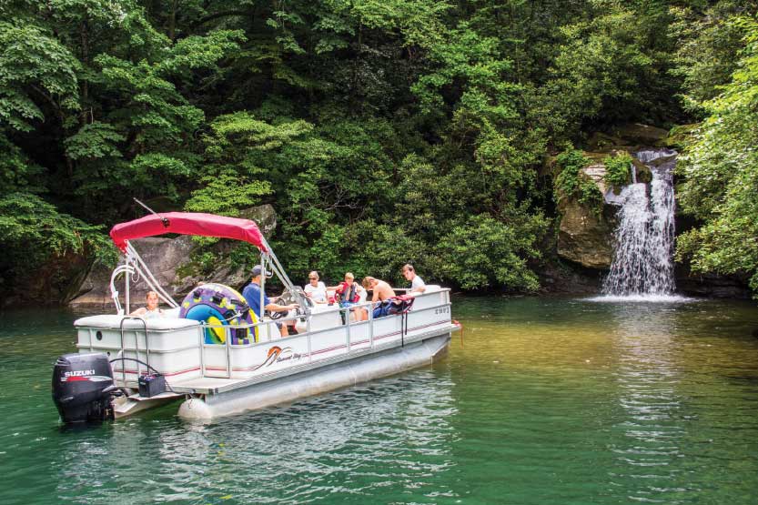
Wright Creek Falls
Salem, SC
Get Directions >
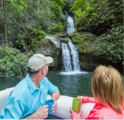
Located on Lake Jocassee, this falls is only accessible by boat. Launch from Devils Fork State Park (parking fee required). Boat rentals and lake tours available. Stop by Devils Fork State Park for map and directions. GPS coordinates for Devils Fork State Park: N 34.952139 W 82.946134

Ye Olde Sandwich Shoppe
Over 100 menu items! Voted best sandwiches and best dinner under $10 by readers of local paper. Serving locally raised Tokeena Angus Farms all natural Black Angus burgers, and Troyer deli meats and cheeses. Open for lunch and dinner Monday – Saturday (closed Sunday).
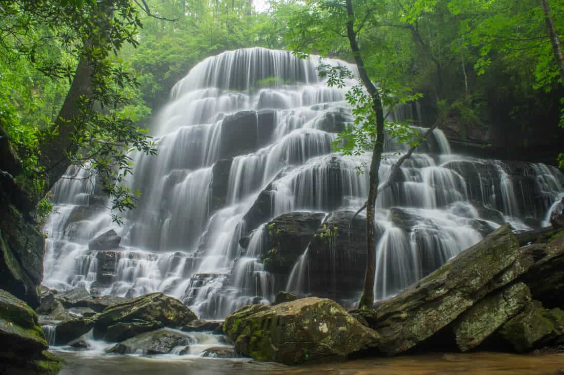
Yellow Branch Falls
CAUTION: This hike has grown in popularity which has caused the trail to become more dangerous. It takes approximately 45 minutes to reach the falls and 45 minutes back out.
Wear shoes with good traction, pack water, and be prepared for pop-up rain storms. No cell service in the forest.
Impressive 60 ft. cascade over rock ledges is a favorite destination for visitors. Hike is 3 miles round trip. CCC era picnic shelter on site. GPS coordinates to the parking area: N 34.80557 W 083.12876

Yousef’s Kitchen
Vegetables, meats, homemade cakes, cobblers and puddings. Known for chicken fingers and burgers. Serves lunch and dinner daily.


