This 2.7-mile, out-and-back trail begins a the Cherry Hill Recreation Area and eventually ends at a junction with the Foothills Trail along the Chattooga River. An adventurous scramble on an unmaintained trail along the river affords views of 30-ft. Big Bend Falls, the largest drop on the Chattooga River.
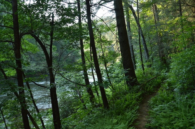
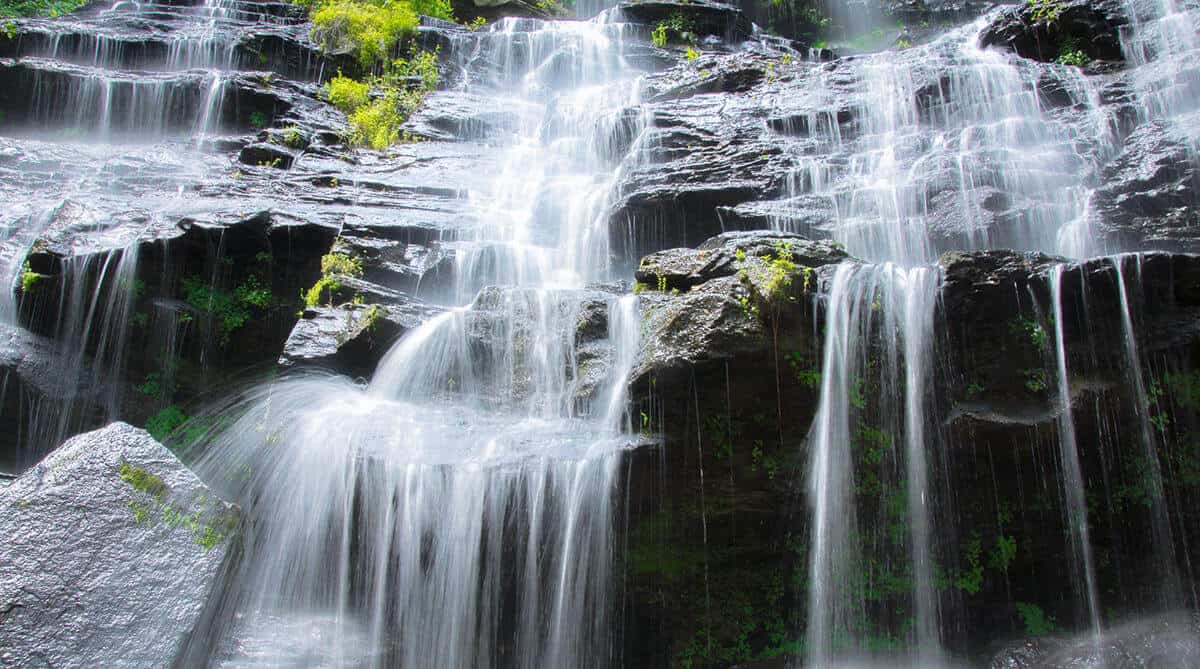
15.5 mile trail that runs parallel to the famous Chattooga River, and shares 8.5 miles with the Foothills Trail. It passes through some of the finest wilderness in South Carolina. The northern terminus of the Chattooga Trail is Ellicott Rock, where Georgia, North Carolina and South Carolina meet. Waterfall lovers shouldn’t miss this trail, since you can see King Creek, Spoonauger, Big Bend, Pigpen and Licklog Falls at points along the trail.
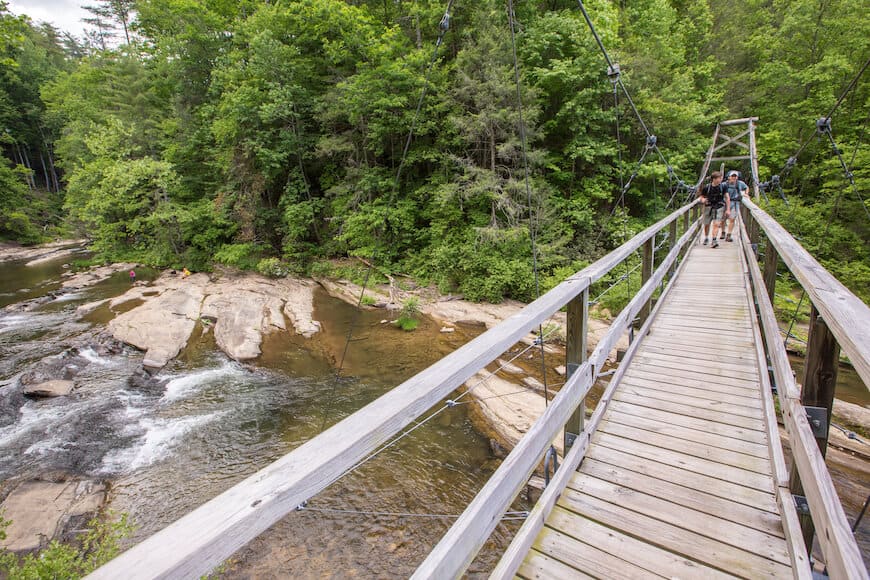
Beginning at the picnic area adjacent to the Walhalla State Fish Hatchery, this 2.5-mile trail is an easy hike along the bank of the scenic, fast moving east fork of the Chattooga River. The trail will take you down to the river. Beginning or ending the hike at Burrell’s Ford adds an additional 2.1 miles.
South Carolina, North Carolina, Georgia Get Directions >
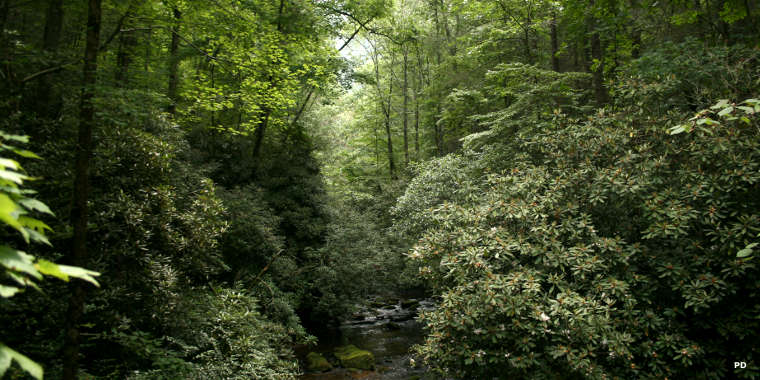
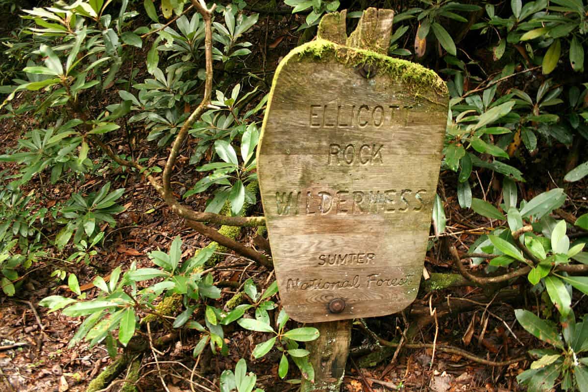
Ellicott Rock Wilderness was established by Congress in 1975. Encompassing 8.296 acres, this wilderness spreads across the corners of SC, NC, and GA. It also straddles the 15,432-acre Chattooga River Wild and Scenic Corridor. The steep terrain of the Ellicott Rock Wilderness offers numerous mountains and waterfalls to explore. There are several access points where you can enter the wilderness area including Burrell’s Ford Rd. & the Foothills Trail off Hwy. 107 in Mountain Rest, SC.
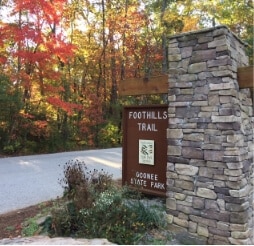
This National Recreation Trail has its southern terminus in Oconee State Park and extends to the north and east for 77 miles. Sections very in length and difficulty. Day-hikers can access the trail from different points; thru-hikers can spend a week backcountry hiking on the trail. Maintained by the Foothills Trail Conservancy.
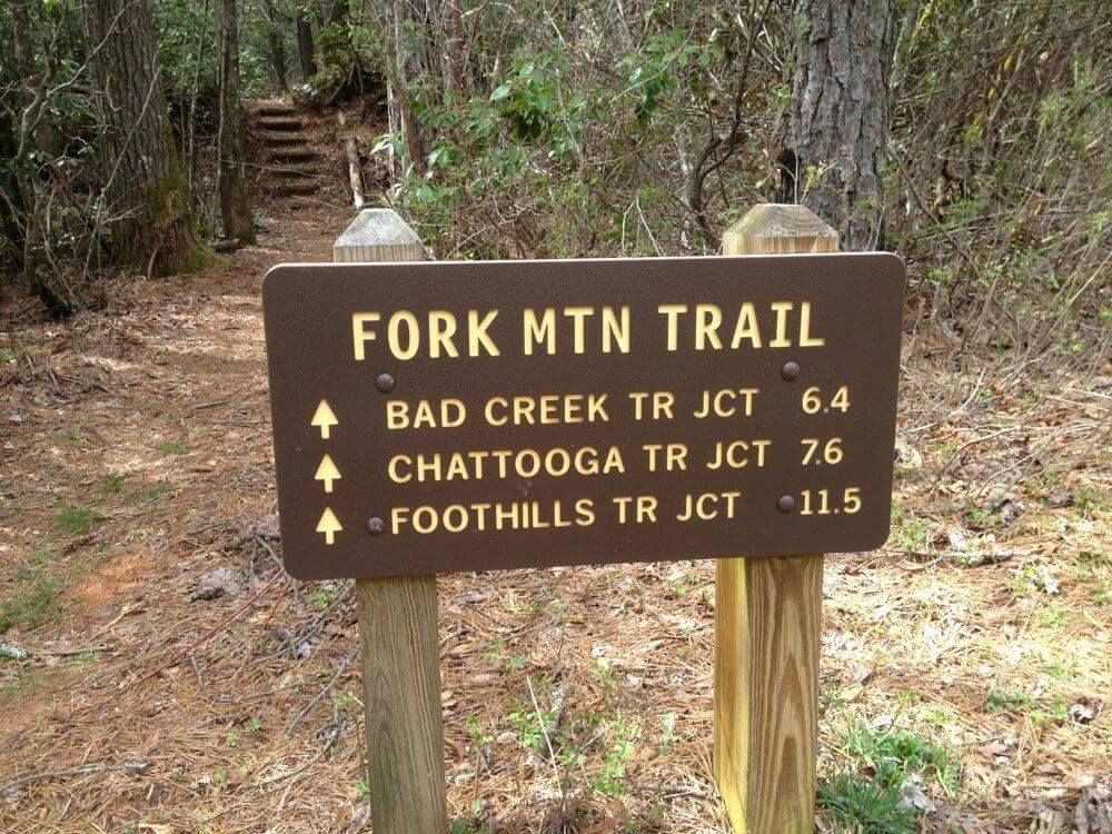
6.4 mile trail, a spur of the Foothills Trail, starts in SC at the Sloan Bridge Picnic Area and ends in NC where it joins the Bad Creek Trail in the Ellicott Rock Wilderness Area. From there the trail eventually joins the Chattooga Trail and continues to Burrell’s Ford. The trail weaves along the northern flanks of Fork Mountain through numerous coves and ravines. At the junction with Bad Creek Trail you can return, or extend your hike 1.3 miles to historic Ellicott Rock.
Located in Stumphouse Park ($5 entry fee per vehicle). It’s an easy 5-minute walk to viewing platforms where you can view the beautiful waterfall named for a Creek maiden who hid on one of the falls’ ledges to avoid capture during an Indian attack. There is a rough trail next to the lowest platform, which leads to the base of the falls. However, the PATH IS QUITE DANGEROUS and visitors are not encouraged to try it. GPS coordinates to the parking area: N 34.80740 W 083.12158
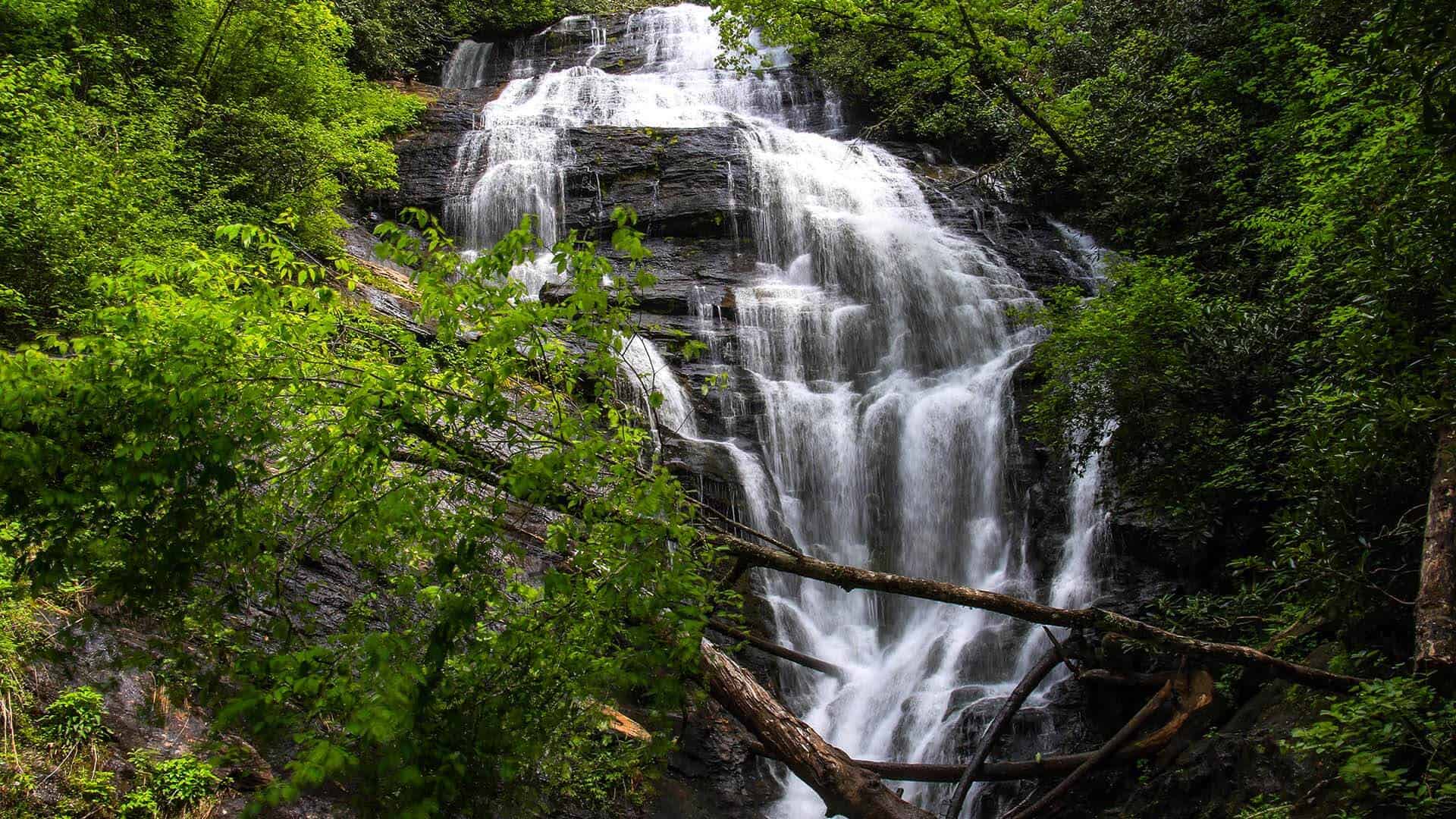
This 70 ft. tumble through a laurel-choked gorge is one of the best to view. Easy to moderate 30-minute hike that is sometimes slippery. Trail is well marked, with restrooms at the trail head. Family friendly beautiful sight. Kids can play in the pool at the base of the falls. You can hike the look and view the river. GPS coordinates to parking area: N 34.97128 W 083.11465
This easy, 1-mile loop within Devils Fork State Park gets its name from a rare wildflower that has gorgeous white blooms in the early spring. Many native plant species are identified with markers along the trail. The trailhead is behind the bark office and has an informative kiosk at the beginning of the trail.
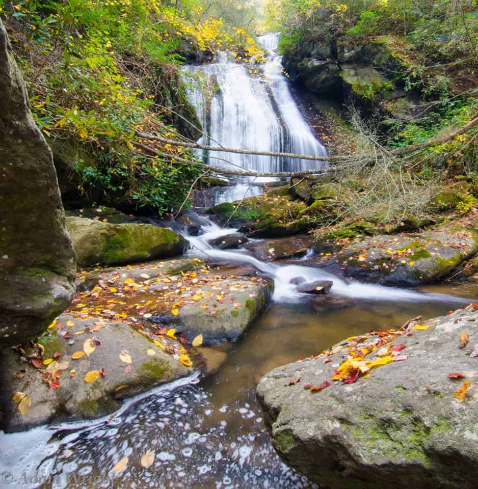
The two-hour hike to this 50-ft. cascade is not dangerous, but quite strenuous. Nice picnic area and swimming in the Chattooga River. Best views when leaves are off trees or from May-June when the Rhododendron and Mountain Laurel are in bloom. GPS coordinates to parking area: N 34.77332 W 083.30361
Check out a suggested itinerary from South Carolina Department of Parks, Recreation and Tourism for scenic drives along one of South Carolina’s prettiest mountain roads.
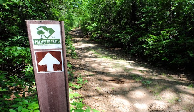
The Oconee Passage is a moderate to difficult 3.2 mile trail along an old roadbed that pinches into a path along the mountain ridge line. Once the Palmetto Trail is complete, this trail will end in Walhalla, but for now you can start from either Oconee State Park (Mountain Rest) or Oconee Station (Walhalla). The Oconee Passage is steeply uphill from Oconee Station. Mountain bikes are allowed on the Oconee Passage.