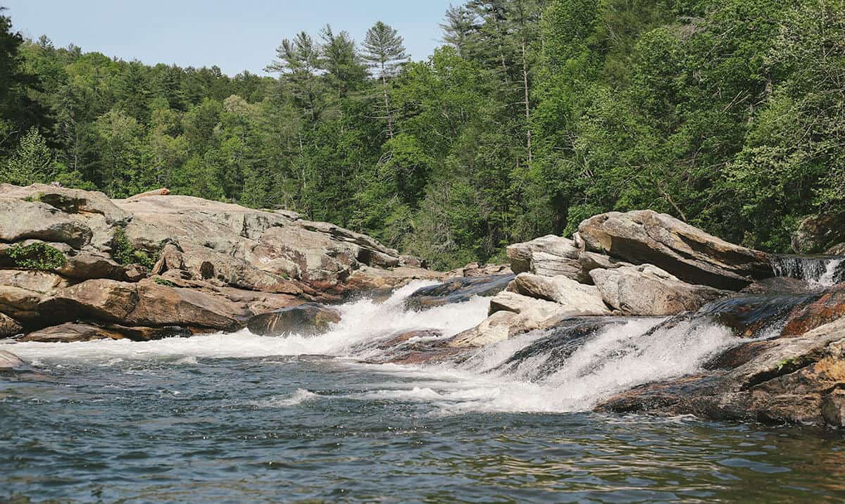
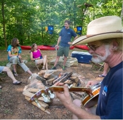
In Oconee County, SC the great outdoors includes access to 200+ miles of trails, 29 waterfalls, 200,000 acres of Sumter National Forest, 4 lakes, 4 state parks and 3 county parks!
Travel Tip:
ARRIVE EARLY
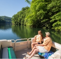
Especially if you are coming to enjoy a day on Lake Jocassee or Lake Keowee.
Parking at lake public access points is limited.
Devils Fork State Park–the only public access for Lake Jocassee–is a very popular destination. Depending on the season, the parking lot gets full early in the day. If you’re not there by 9:30AM, you will likely be turned away.
Roads near Lake Keowee have been experiencing heavy traffic. We strongly discourage parking in private neighborhoods along the lake.
Note: The restaurants listed below offer outside seating.
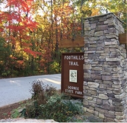
This easy 0.8-mile spur trail provides a connection to the Whitewater River, the Foothills Trail, Coon Branch Trail, and to Lower Whitewater Falls (via the Foothills Trail). Enter the gate to Duke Energy’s Bad Creek Hydro Station on SC 130, and proceed two miles down to the marked entrance to the large trailhead parking area. Fishing, but no camping, is allowed along the Whitewater River. A designated campsite is 0.5 miles past junction with the river.
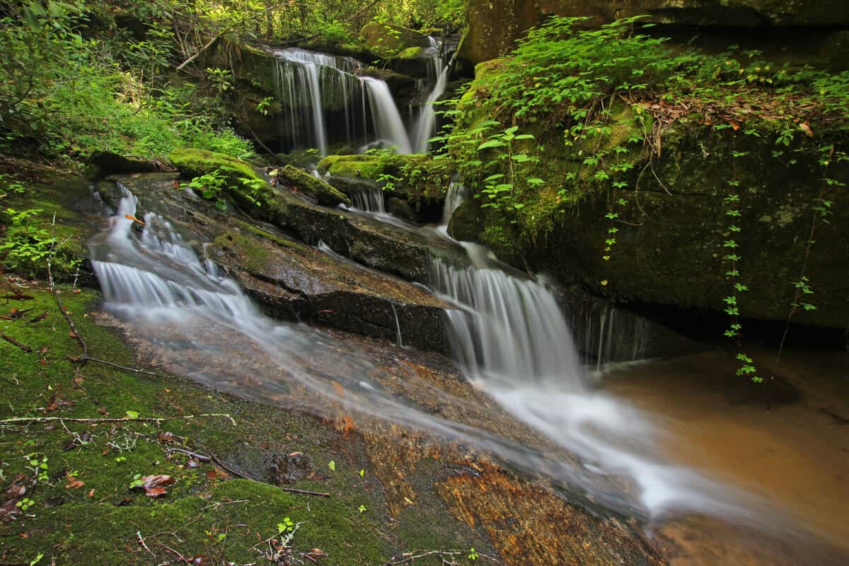
Remote multi-tiered falls is a difficult 2-3 hour hike, but worth the effort!
Directions/GPS N 34.98149 W 083.06280
–NORTH from Walhalla on Hwy. 28.
–BEAR RIGHT Hwy. 107
–12.5 miles PARK on left.
–WALK 150 yards on right to FS 702
–Roadbed goes along creekside.
–BEAR RIGHT at 3-way intersection.
–FOLLOW less defined path & sounds to waterfalls.
GPS coordinates to parking area: N 34.98149 W 083.062800
Largest vertical drop of the Chattooga River is a sight to see with a 30 ft. drop. It is a difficult 3 hour walk that we recommend for adventurous, expert hikers.
GPS Coordinates to parking area: N 34.97128 W 083.11465
This 2.7-mile, out-and-back trail begins a the Cherry Hill Recreation Area and eventually ends at a junction with the Foothills Trail along the Chattooga River. An adventurous scramble on an unmaintained trail along the river affords views of 30-ft. Big Bend Falls, the largest drop on the Chattooga River.
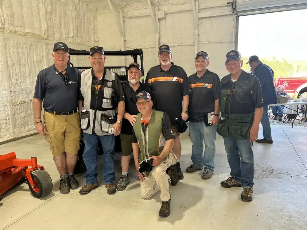
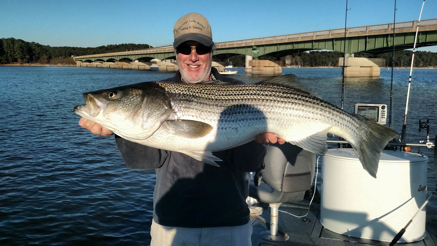
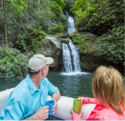
Owned and operated by Keith Courtney. He has been fishing Lake Jocassee since 1986 and guiding since 1990. Whether you request a touring trip or a trophy trout fishing trip, Blue Ridge Guide Service has the equipment and experience to make your trip memorable.
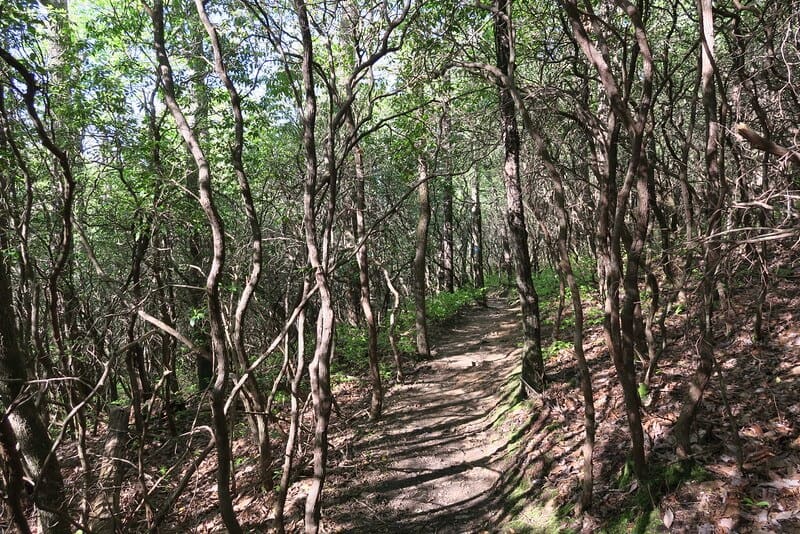
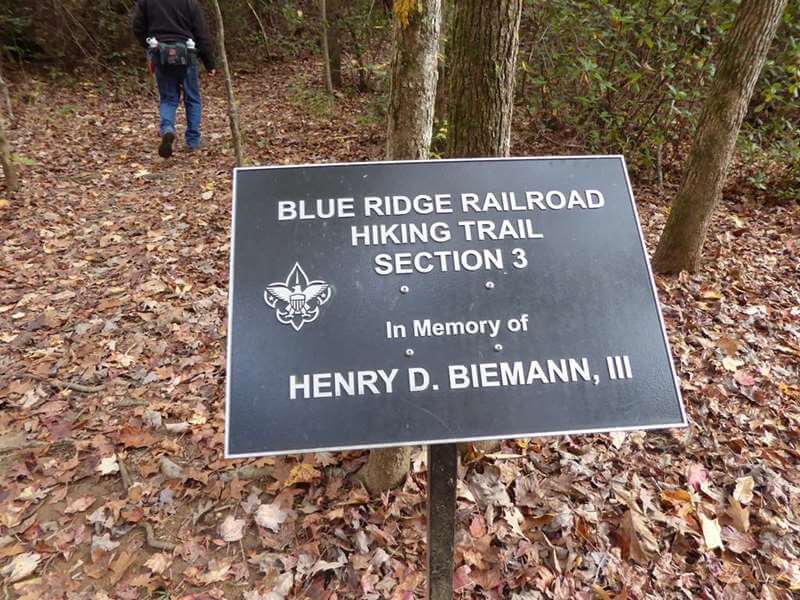
Trail follows the railroad bed of an incomplete section of the 19th century Blue Ridge Railroad where you can see three abandoned tunnels. The moderate to strenuous trail is 2.5 miles one-way. Trail head is located in Stumphouse Park, at the top of the Issaqueena Falls parking lot, and takes you through the forest with amazing views of the upstate.
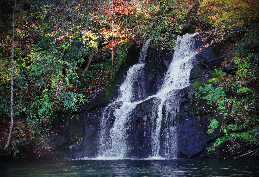
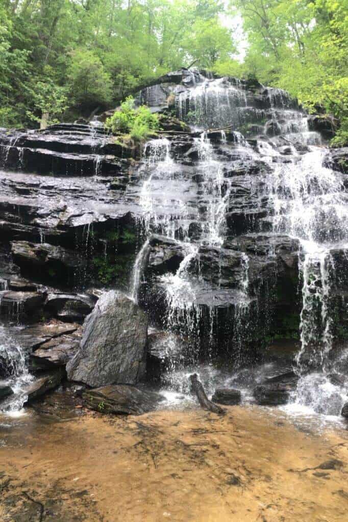
Four falls ranging from 20ft. to 40ft. The trails have been updated and are more accessible. New steps along the trail have been added along with several viewing platforms. The left trail to the upper falls has a family friendly short hike with bridge over the creek. Good swimming holes at both ends of the trail. Brasstown Creek BBQ is a great place to eat Fri. or Sat. 4-9pm (cash only).
GPS Coordinates Parking Area: N 34.71908 W 083.30158
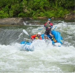
Bull Sluice is a Class Five rapid on Section III of the Chattooga River. This is a popular place to view rafting trips running the rapid. It’s a short .2 mile hike from the Hwy 76 Chattooga River Access parking lot. Follow the trail downhill to where it forks, and go right along the gravel trail to reach a viewing area. Depending on your mobility level, you can walk on huge rocks on the side of the river to get a better view. (The left fork takes you to a beach downstream of the rapid.)