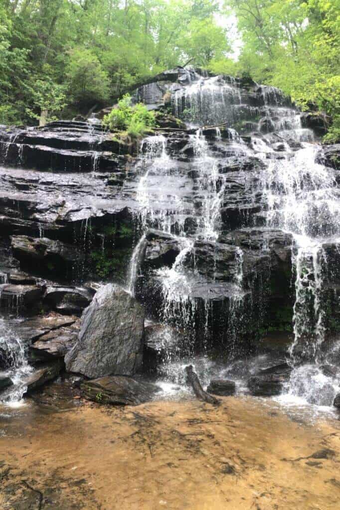
In Oconee County, SC the great outdoors includes access to 200+ miles of trails, 29 waterfalls, 200,000 acres of Sumter National Forest, 4 lakes, 4 state parks and 3 county parks!
Travel Tip:
ARRIVE EARLY
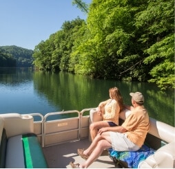
Especially if you are coming to enjoy a day on Lake Jocassee or Lake Keowee.
Parking at lake public access points is limited.
Devils Fork State Park–the only public access for Lake Jocassee–is a very popular destination. Depending on the season, the parking lot gets full early in the day. If you’re not there by 9:30AM, you will likely be turned away.
Roads near Lake Keowee have been experiencing heavy traffic. We strongly discourage parking in private neighborhoods along the lake.
Note: The restaurants listed below offer outside seating.
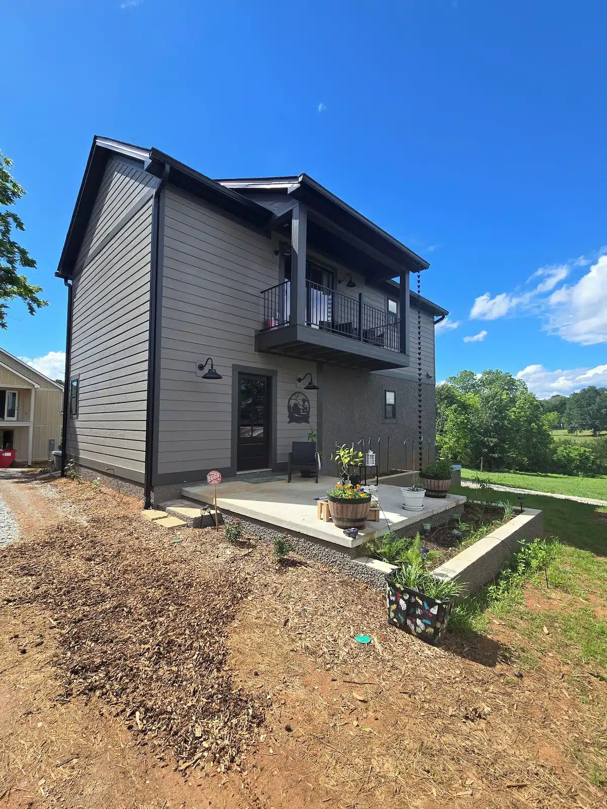
Located in Seneca, enjoy what this 1-bedroom farmhouse has to offer. This adorable property features a cozy living room with a sofa bed, perfect for relaxing after a day of exploring. The bedroom boasts a comfortable queen bed, ensuring a good night’s sleep for guests. With amenities like WiFi, a hair dryer, and a washing machine, this gorgeous farmhouse has everything you need for a comfortable stay. We also have pasta making cooking classes and picnics available to add on to your stay.
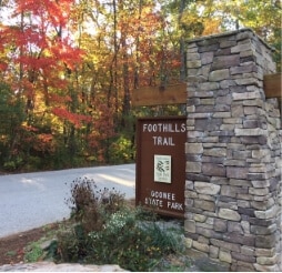
This easy 0.8-mile spur trail provides a connection to the Whitewater River, the Foothills Trail, Coon Branch Trail, and to Lower Whitewater Falls (via the Foothills Trail). Enter the gate to Duke Energy’s Bad Creek Hydro Station on SC 130, and proceed two miles down to the marked entrance to the large trailhead parking area. Fishing, but no camping, is allowed along the Whitewater River. A designated campsite is 0.5 miles past junction with the river.
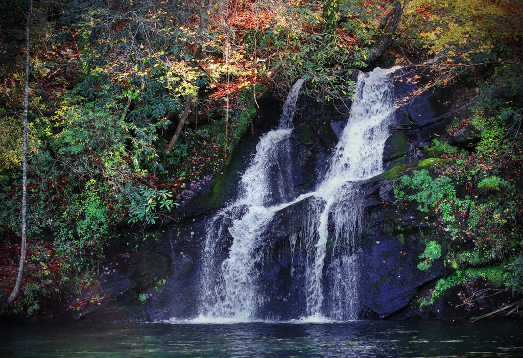
Remote multi-tiered falls is a difficult 2-3 hour hike, but worth the effort!
Directions/GPS N 34.98149 W 083.06280
–NORTH from Walhalla on Hwy. 28.
–BEAR RIGHT Hwy. 107
–12.5 miles PARK on left.
–WALK 150 yards on right to FS 702
–Roadbed goes along creekside.
–BEAR RIGHT at 3-way intersection.
–FOLLOW less defined path & sounds to waterfalls.
GPS coordinates to parking area: N 34.98149 W 083.062800
Largest vertical drop of the Chattooga River is a sight to see with a 30 ft. drop. It is a difficult 3 hour walk that we recommend for adventurous, expert hikers.
GPS Coordinates to parking area: N 34.97128 W 083.11465
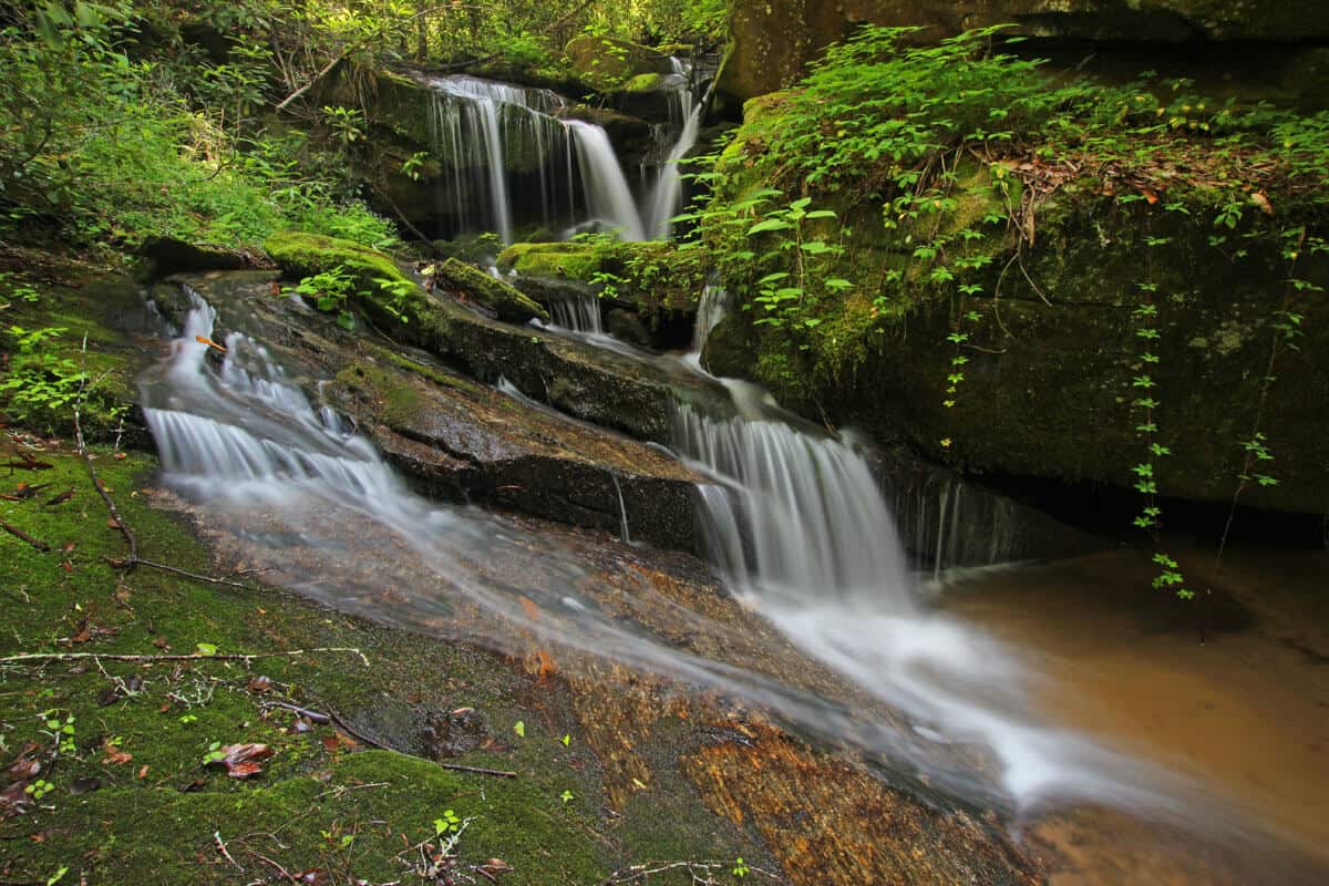
This 2.7-mile, out-and-back trail begins a the Cherry Hill Recreation Area and eventually ends at a junction with the Foothills Trail along the Chattooga River. An adventurous scramble on an unmaintained trail along the river affords views of 30-ft. Big Bend Falls, the largest drop on the Chattooga River.