In Oconee County, SC the great outdoors includes access to 200+ miles of trails, 29 waterfalls, 200,000 acres of Sumter National Forest, 4 lakes, 4 state parks and 3 county parks!
Travel Tip:
ARRIVE EARLY
Especially if you are coming to enjoy a day on Lake Jocassee or Lake Keowee.
Parking at lake public access points is limited.
Devils Fork State Park–the only public access for Lake Jocassee–is a very popular destination. Depending on the season, the parking lot gets full early in the day. If you’re not there by 9:30AM, you will likely be turned away.
Roads near Lake Keowee have been experiencing heavy traffic. We strongly discourage parking in private neighborhoods along the lake.
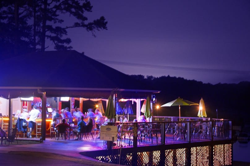
Note: The restaurants listed below offer outside seating.
Share
Blue Ridge Guide Service
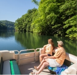
Lake Jocassee Get Directions >
Owned and operated by Keith Courtney. He has been fishing Lake Jocassee since 1986 and guiding since 1990. Whether you request a touring trip or a trophy trout fishing trip, Blue Ridge Guide Service has the equipment and experience to make your trip memorable.
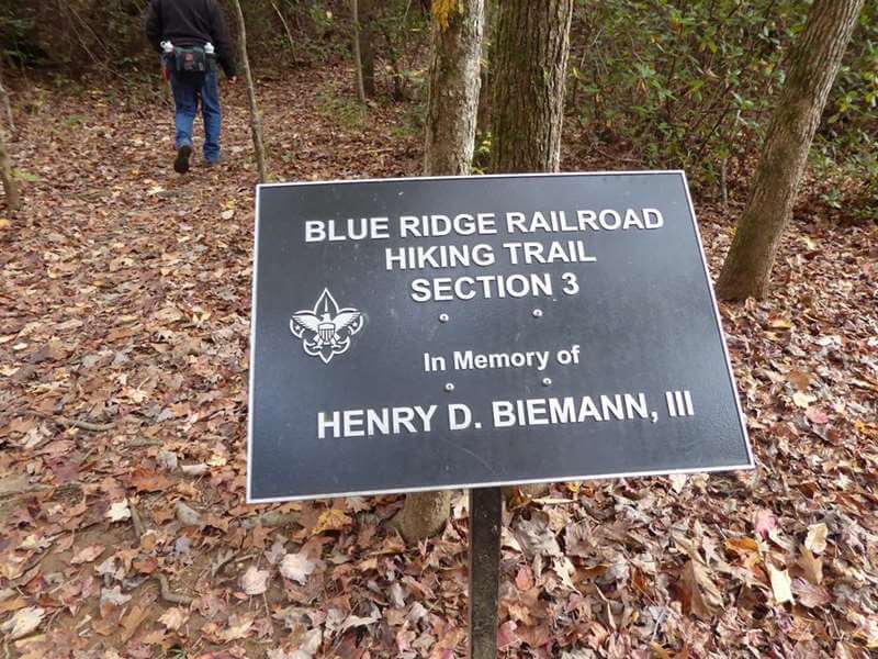
Trail follows the railroad bed of an incomplete section of the 19th century Blue Ridge Railroad where you can see three abandoned tunnels. The moderate to strenuous trail is 2.5 miles one-way. Trail head is located in Stumphouse Park, at the top of the Issaqueena Falls parking lot, and takes you through the forest with amazing views of the upstate.
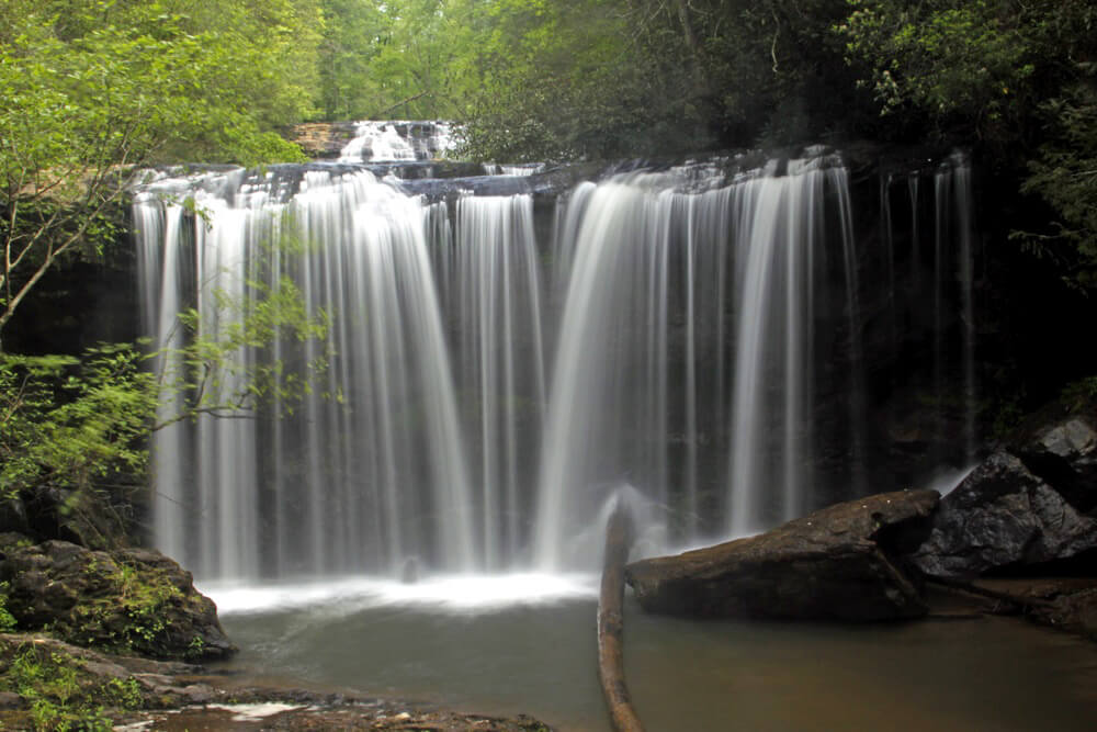
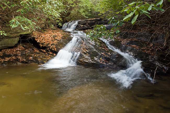
Four falls ranging from 20ft. to 40ft. The trails have been updated and are more accessible. New steps along the trail have been added along with several viewing platforms. The left trail to the upper falls has a family friendly short hike with bridge over the creek. Good swimming holes at both ends of the trail. Brasstown Creek BBQ is a great place to eat Fri. or Sat. 4-9pm (cash only).
GPS Coordinates Parking Area: N 34.71908 W 083.30158
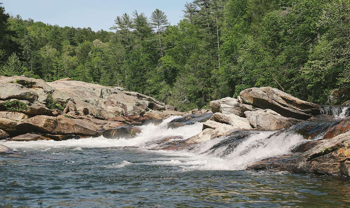
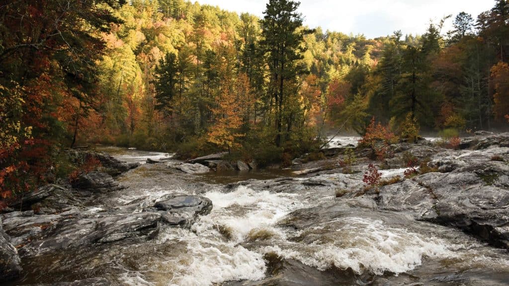
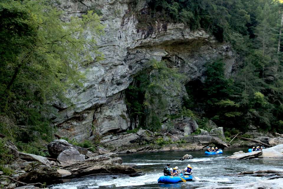
Bull Sluice is a Class Five rapid on Section III of the Chattooga River. This is a popular place to view rafting trips running the rapid. It’s a short .2 mile hike from the Hwy 76 Chattooga River Access parking lot. Follow the trail downhill to where it forks, and go right along the gravel trail to reach a viewing area. Depending on your mobility level, you can walk on huge rocks on the side of the river to get a better view. (The left fork takes you to a beach downstream of the rapid.)
The Chattooga River is the boundary between GA & SC. It is nationally designated as Wild and Scenic and is protected from development. Known for whitewater rapids, and meandering, mountainous woodland passage. The lower sections of the Chattooga are considered among the best whitewater in the SE with heart-thumping Class III to Class VI rapids.
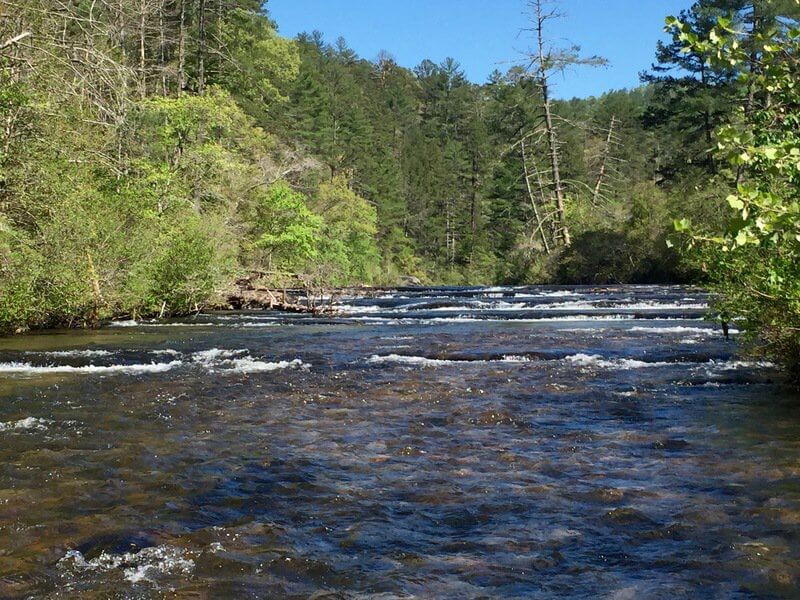
Section 2 is a good beginner whitewater section with class I and II rapids. This 7 mile run is a good day trip with opportunities to stop and picnic on large boulders, or stop to fish for trout. The Chattooga has excellent opportunities for fishing, camping, and hiking.
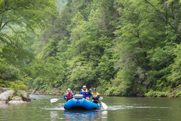
Section 3 is a 13-mile beautiful stretch of river with intermediate to advanced whitewater. Its a 4-6 hour trip down river. Section 3 put-in is at Earls Ford, and the take-out is the Highway 76 Bridge. There is 1/4 mile hike in and out of the river. The Chattooga River is under the jurisdiction of the US Forest Service. There is a self-permit system (no fee), where you fill out a form, drop a copy at the box near the put-in and carry the other copy with you down the river.
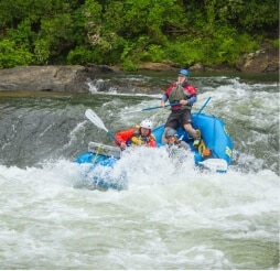
Section 4 is one of the most well-known sections of whitewater in the U.S. This 8-mile section includes major whitewater including Class IV-V rapids. It takes 4-5 hours to raft or paddle Section 4. Put-in at the Highway 76 Bridge, and take-out at Lake Tugalo. There is 1/4 mile hike to and from the river. The Chattooga River is under the jurisdiction of the US Forest Service. Anyone paddling on the river needs to fill out a permit (at the put-in) prior to getting on the river.
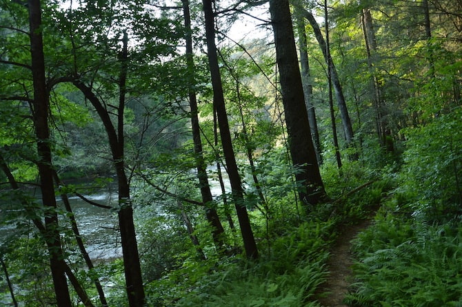
15.5 mile trail that runs parallel to the famous Chattooga River, and shares 8.5 miles with the Foothills Trail. It passes through some of the finest wilderness in South Carolina. The northern terminus of the Chattooga Trail is Ellicott Rock, where Georgia, North Carolina and South Carolina meet. Waterfall lovers shouldn’t miss this trail, since you can see King Creek, Spoonauger, Big Bend, Pigpen and Licklog Falls at points along the trail.