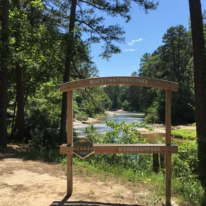
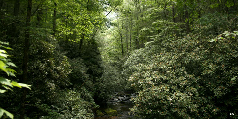
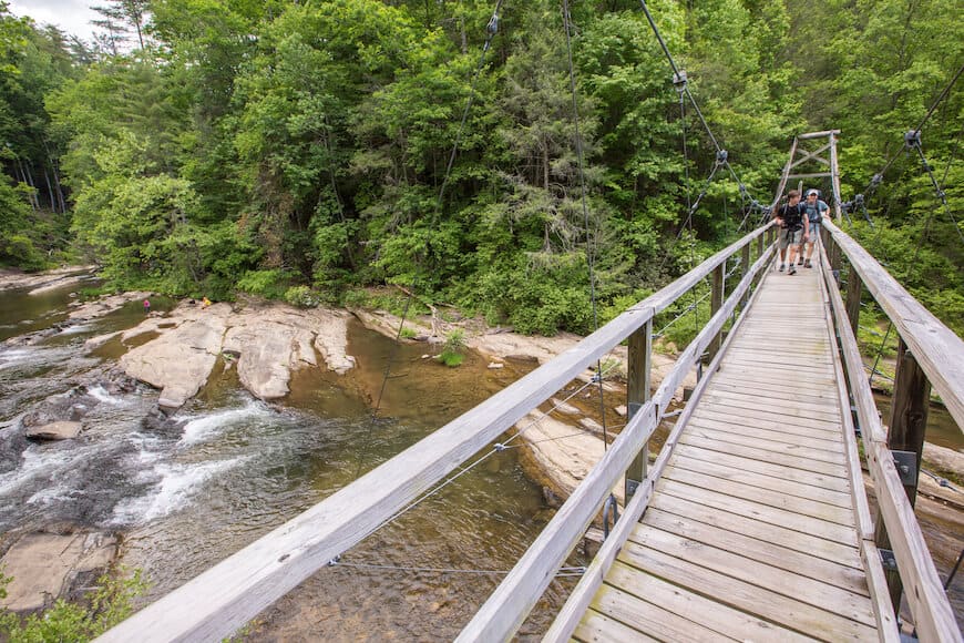
From easy park trails to ambitious steep climbs, from rivers edge to lakeside, on foot or horseback, the trails of this region offer something for every hiker.
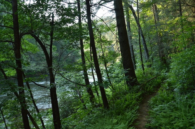
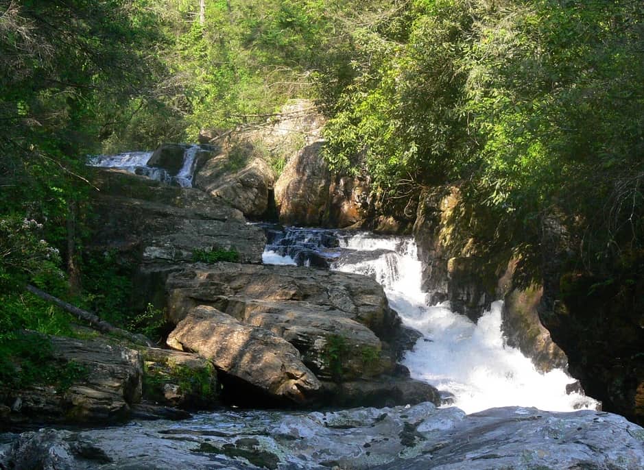
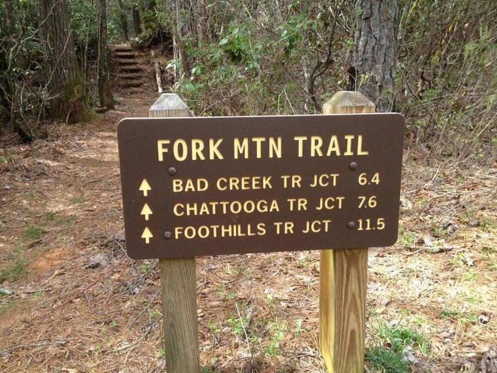
Oconee’s river terrain features some of the most beautiful waterfalls in the nation! For hikes to some of the nearly 150 waterfalls in Oconee County, go to our Waterfalls page.
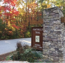
Salem, SC
Get Directions >

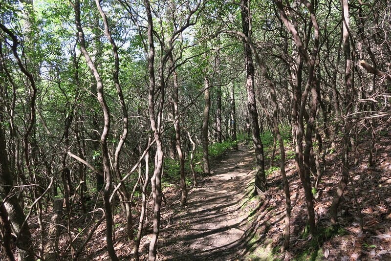
Mountain Rest, S
Get Directions >
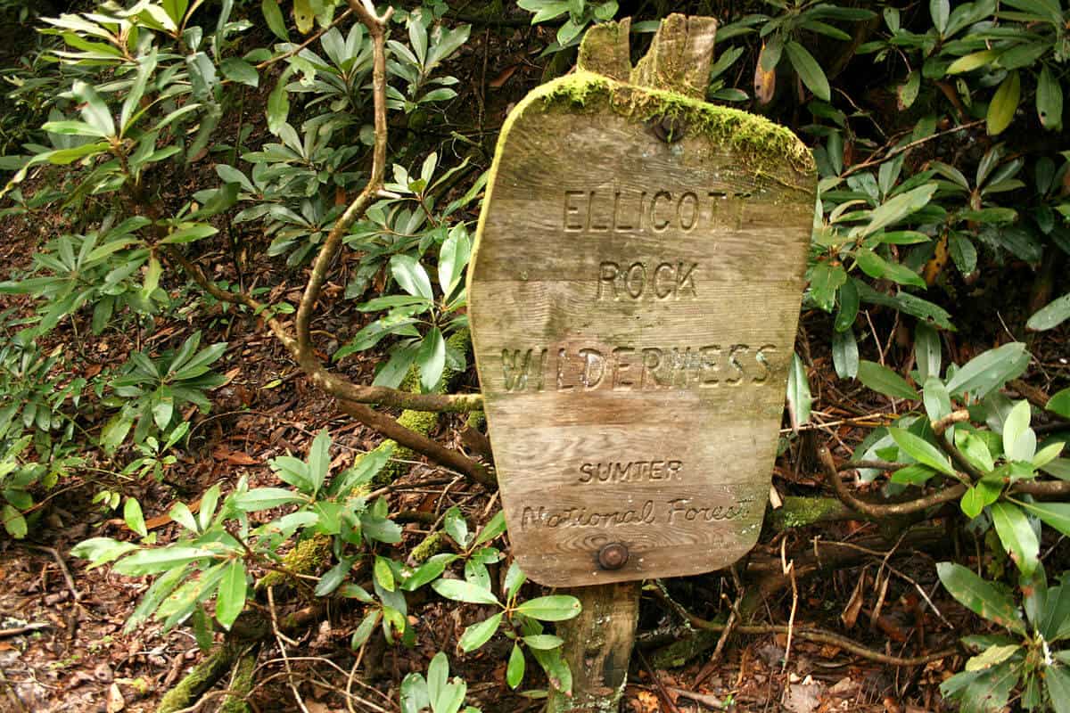
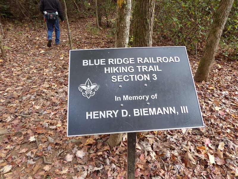
South Carolina, North Carolina, Georgia
Get Directions >


Before you leave, subscribe to our newsletter with monthly events and happenings in Oconee County, South Carolina.