Rushing waters surrounded by stunning scenery make each of Oconee’s waterfalls a special place to visit. Our waterfalls are located in the forest and are not viewable from roads. Hikes to these waterfalls range from easy to extremely difficult, but each one offers a rewarding experience in an amazing setting!
Share
Longnose Falls
Westminster, SC Get Directions >
Only a few ruins of an old mill remain at the base of this beautiful waterfall. Best accessed by canoe or small boat from Lake Hartwell. Located Near Hwy. 123 at the GA/SC line. On the SC side follow River road north to the third bridge. Paddle up the creek until you reach the falls.
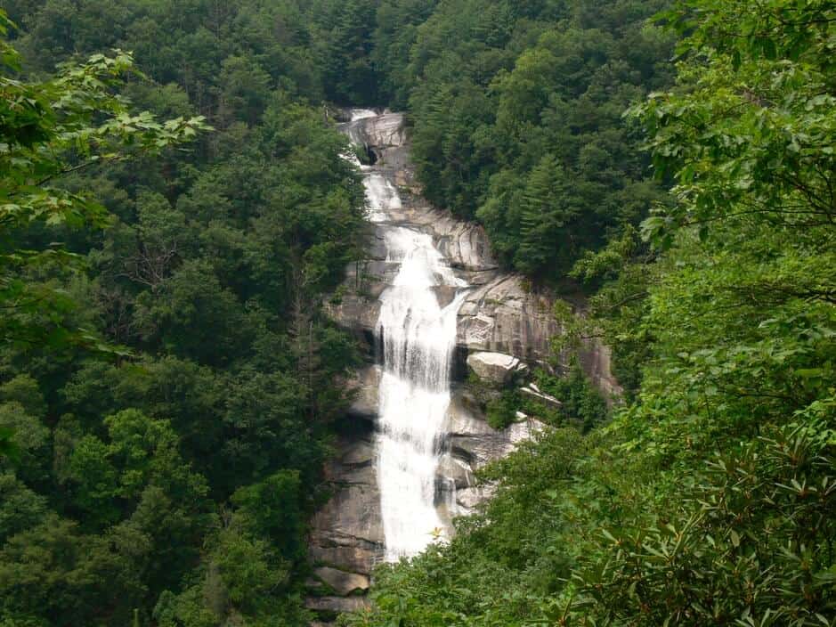
A dramatic 200 ft. drop, these falls are the highest in eastern America. The Lower Falls (in South Carolina) is about half-mile down the Whitewater River from the Upper Falls (in North Carolina). The trail to the overlook is a dangerous 1.7 mile trek. GPS coordinates to parking area: N 35.01246 W 082.99911
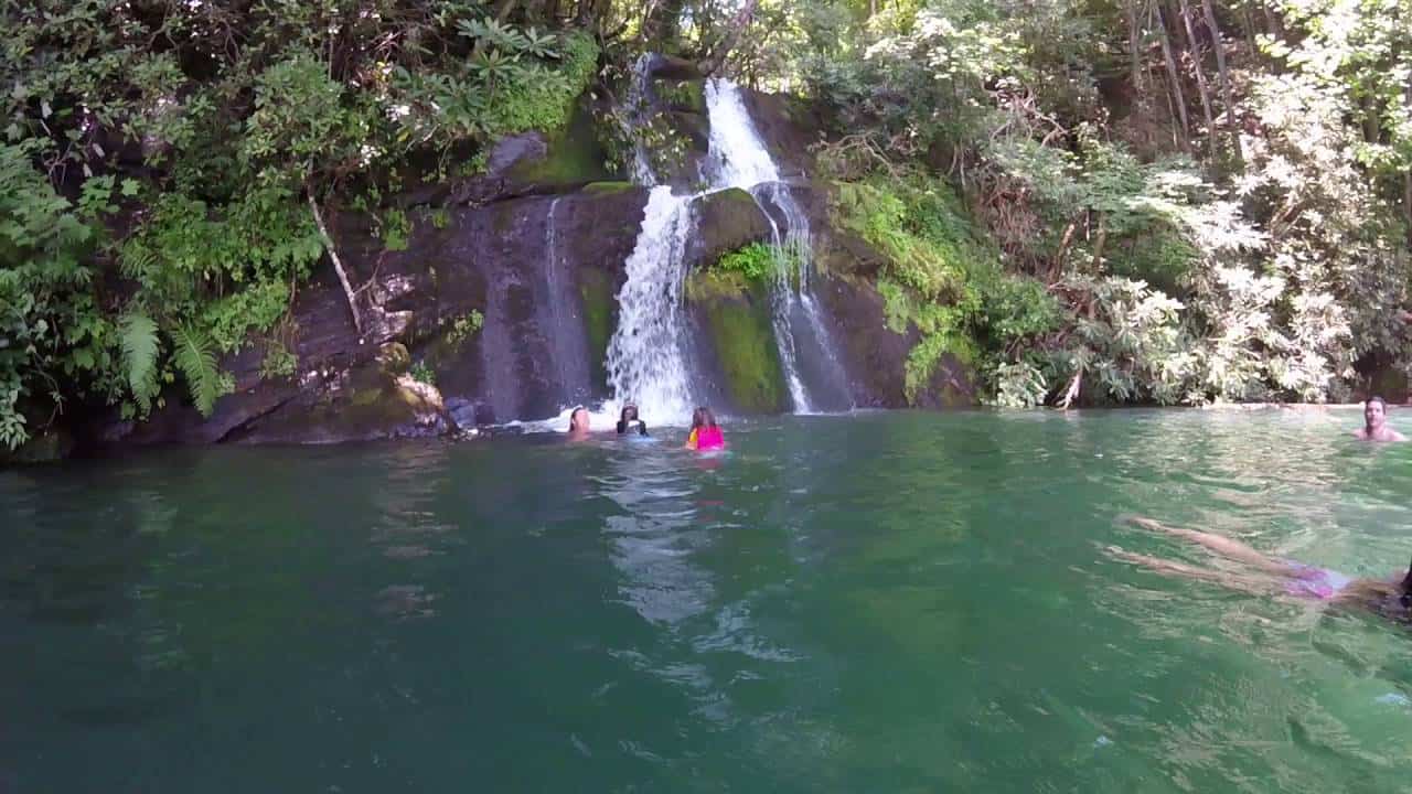
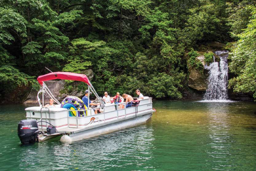
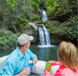
Located on Lake Jocassee, this waterfall is only accessible by boat. Launch from Devils Fork State Park. For exact location of the falls, stop by the Devils Fork Ranger Station for map and detailed directions. GPS coordinates for Devils Fork State Park: N 34.952139 W 82.946134
The two-hour hike to this 50-ft. cascade is not dangerous, but quite strenuous. Nice picnic area and swimming in the Chattooga River. Best views when leaves are off trees or from May-June when the Rhododendron and Mountain Laurel are in bloom. GPS coordinates to parking area: N 34.77332 W 083.30361
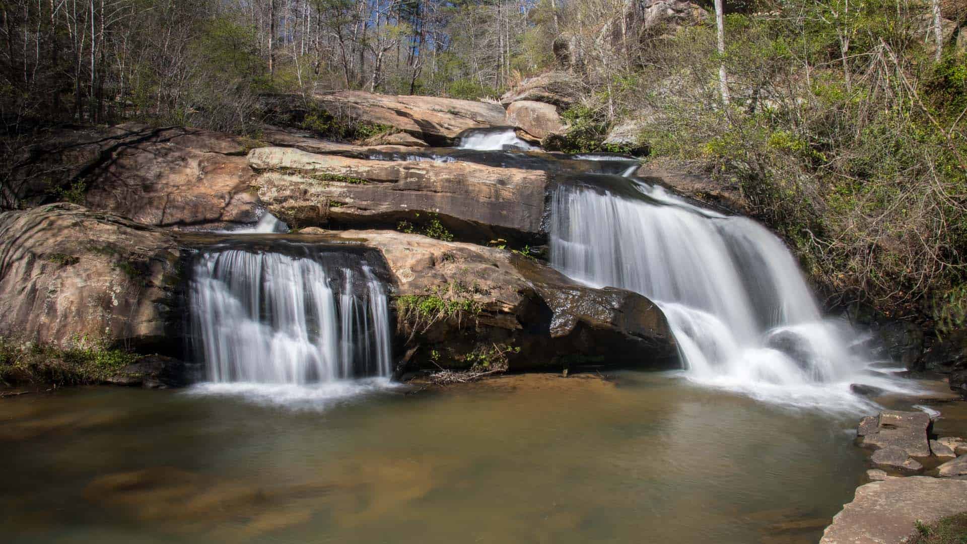
Perfect falls for a young family. An easy one-hour hike to two sets of falls 1/4 mile apart. Pigpen will be the first falls on the left with a great swimming hole. Licklog is a short distance further on the right, and a little more difficult to view if leaves are out. Continue on the trail a few more minutes to the Chattooga River. Nice place to swim and picnic. GPS coordinates to parking area: N 34.91905 W 083.12020
Beautiful 40ft. cascade over large boulders where Ramsey Creek and Chauga River meet. The falls is located inside Chau Ram County Park where a $3 parking fee applies. Lower parking lot provides roadside viewing. Good wading pond at foot of falls. Excellent swimming just a short, easy walk from the falls on well-marked and partially paved trail. Great place to camp and picnic. GPS coordinates to parking area: N 34.68171 W 083.14542
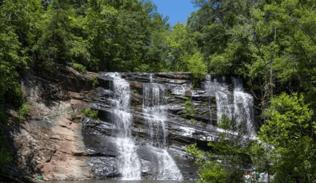
Once the site of a gristmill, this waterfalls measures 12 ft. high, 100 ft. wide and is a great family destination. Moderate 15-minute walk to falls, a tunnel to the left brings you up to the middle of the falls. Good swimming spot. GPS coordinates to parking area: N 34.74106 W 083.18535
A two-fer waterfall opportunity. A treacherous path for adventurous, physically fit hikers, Winding Stairs Trail leads to this waterfall off the beaten path. Continue past clearing to view Cheohee/Miuka Falls. GPS Coordinates to parking area: N 34.94110 W 083.08975
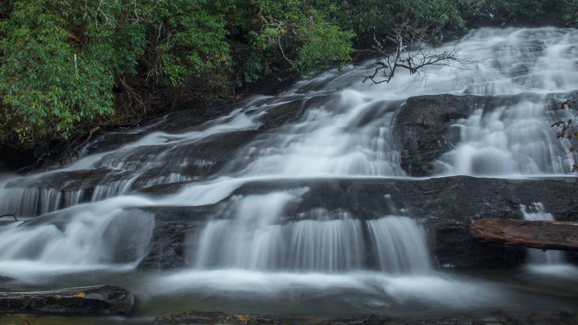
Two-fer waterfall opportunity. This 50 ft. waterfall is set back into a hillside and surrounded by an explosion of shrubbery. Follow the trail approximately 1/4 mile. Cross over Spoonauger Creek. King Creek Falls and the Chattooga River are in the same area. GPS coordinates to parking area: N 34.97480 W 083.11478
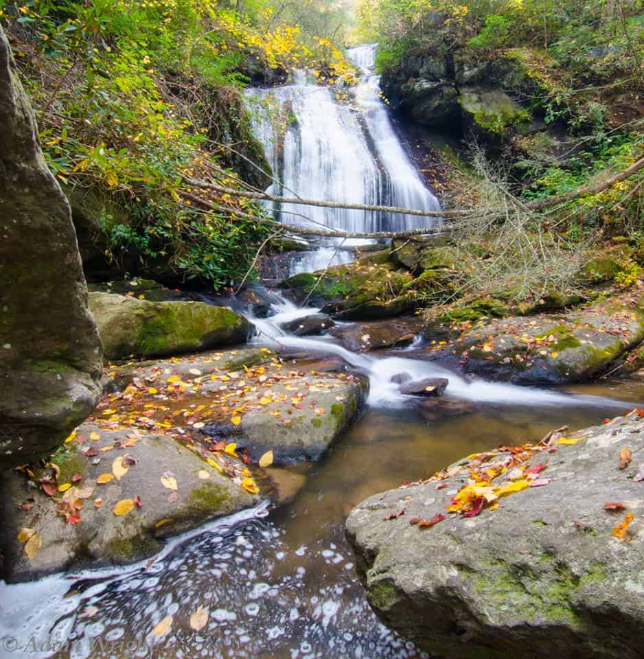
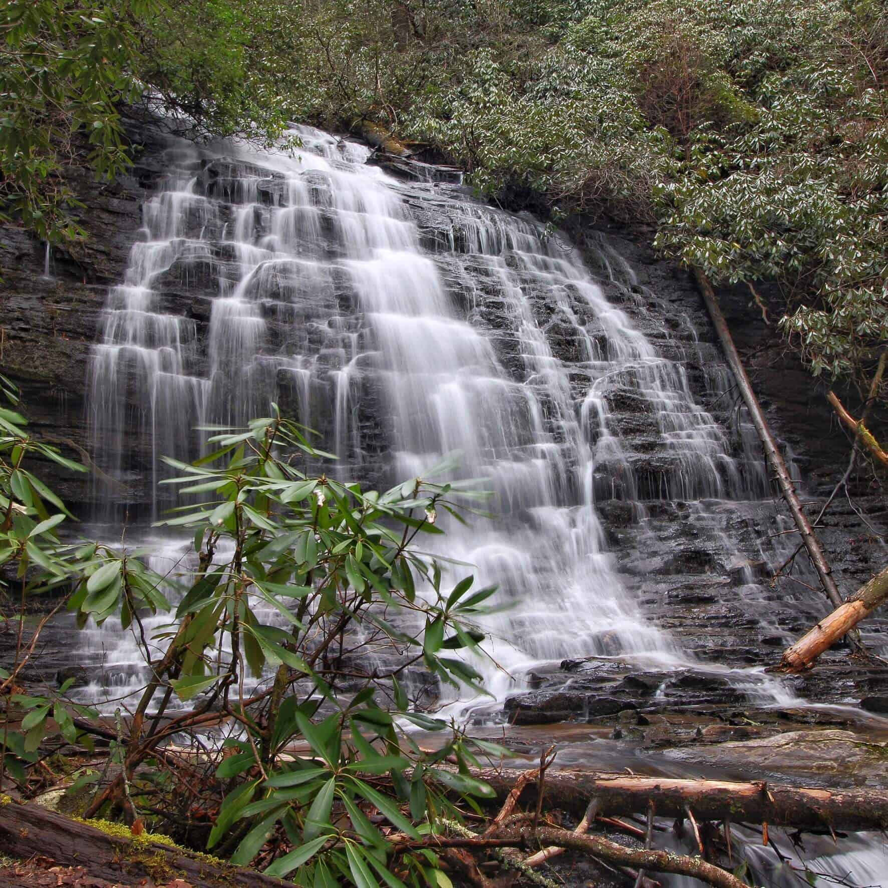
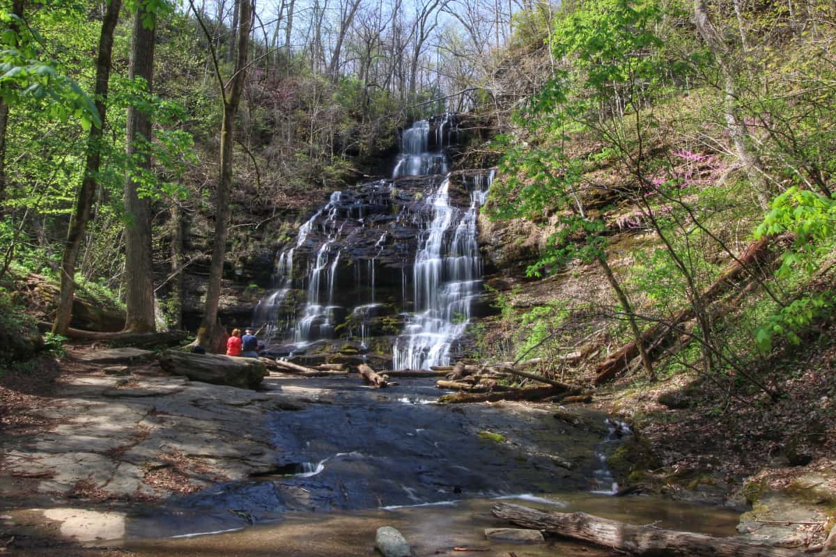
A stepped 60 ft. waterfall that forms from headwaters atop Station Mountain. An easy 30-minute hike through a gorgeous Appalachian cove takes you to the family friendly wading pond at the foot of the falls. GPS coordinates to parking area: N 34.84867 W 083.07463
Beginning in North Carolina and ending in South Carolina, these falls are the highest in eastern America. Easy 10 minute walk to a viewing platform at the end of an asphalt path. Stairs lead to a better viewing platform. However, it is a difficult climb back up. DIRECTIONS: From Hwy 11 in Salem, go North on Hwy 130 ten miles and follow signs to Whitewater Falls.
Located on Lake Jocassee, this falls is only accessible by boat. Launch from Devils Fork State Park (parking fee required). Boat rentals and lake tours available. Stop by Devils Fork State Park for map and directions. GPS coordinates for Devils Fork State Park: N 34.952139 W 82.946134