Once the site of a gristmill, this waterfalls measures 12 ft. high, 100 ft. wide and is a great family destination. Moderate 15-minute walk to falls, a tunnel to the left brings you up to the middle of the falls. Good swimming spot. GPS coordinates to parking area: N 34.74106 W 083.18535
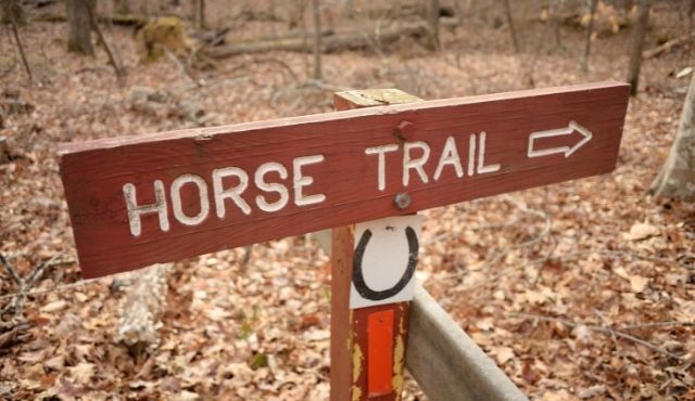
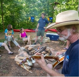
19 miles of horse trails in the Sumter National Forest in South Carolina. Willis Knob Trail in Georgia combines to offer some of the most scenic horseback riding in the southern Blue Ridge Mountains. Winding across deeply dissected ridges, the trails descend into the beautiful Chattooga Wild & Scenic River corridor.
Two-fer waterfall opportunity. This 50 ft. waterfall is set back into a hillside and surrounded by an explosion of shrubbery. Follow the trail approximately 1/4 mile. Cross over Spoonauger Creek. King Creek Falls and the Chattooga River are in the same area. GPS coordinates to parking area: N 34.97480 W 083.11478
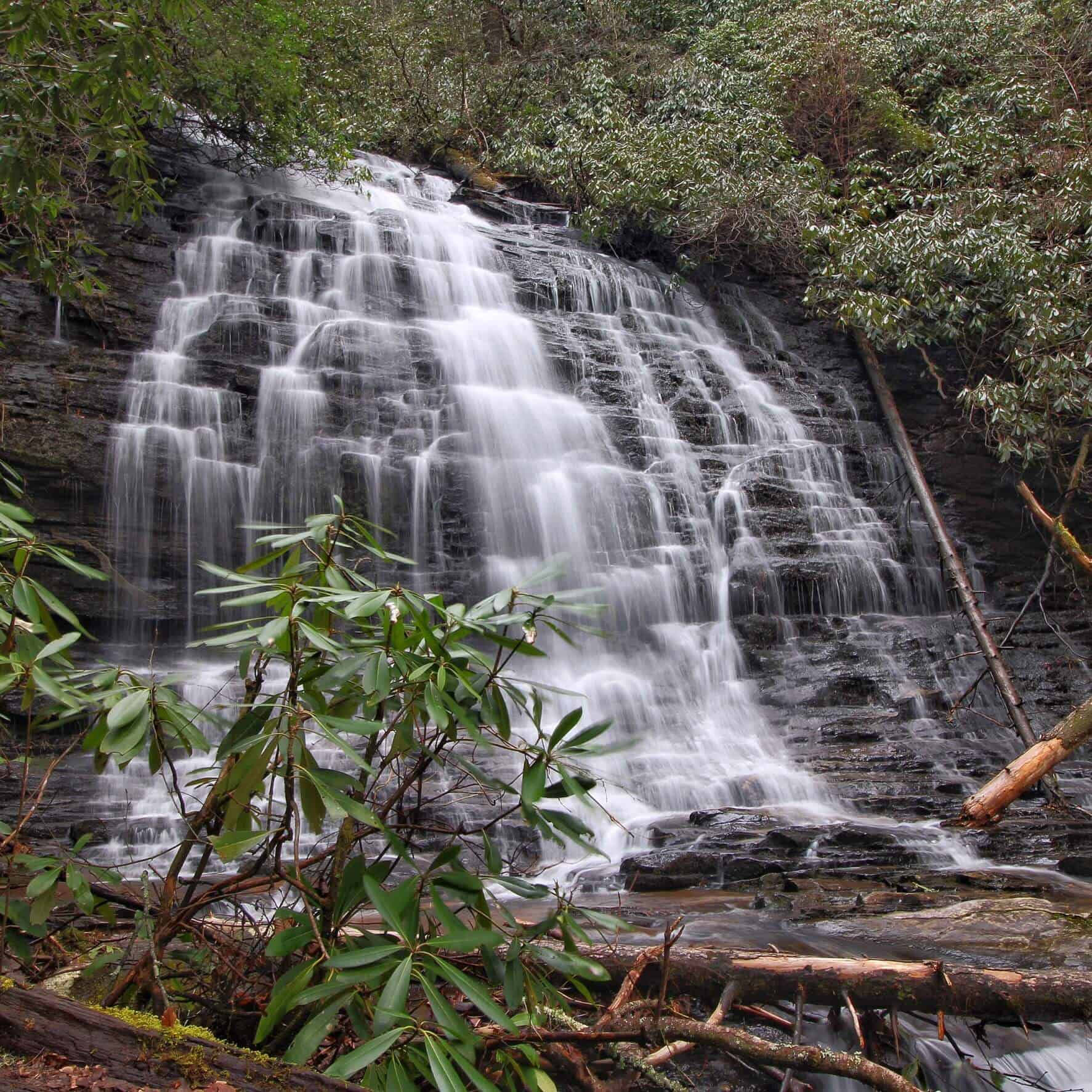
A stepped 60 ft. waterfall that forms from headwaters atop Station Mountain. An easy 30-minute hike through a gorgeous Appalachian cove takes you to the family friendly wading pond at the foot of the falls. GPS coordinates to parking area: N 34.84867 W 083.07463
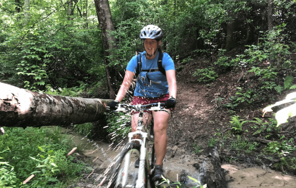
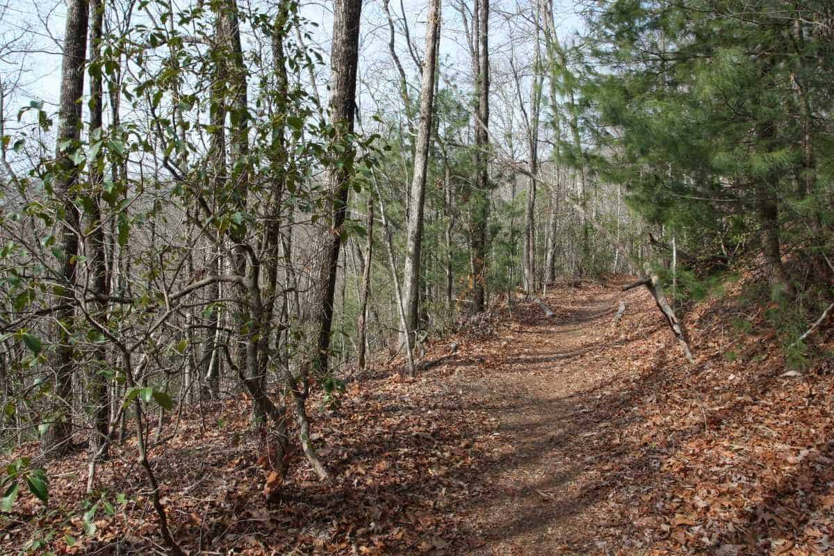
Dual-use hiking & biking trails in Stumphouse Park ($5 entry fee per vehicle). 22 trails suitable for different experience levels. The Mountain Bike Park can be accessed from trailheads at both ends of Stumphouse Passage, but the easiest access is via the parking lot for Issaqueena Falls. Bike trail is closed on rainy days. Users are cautioned to follow trail direction signs.
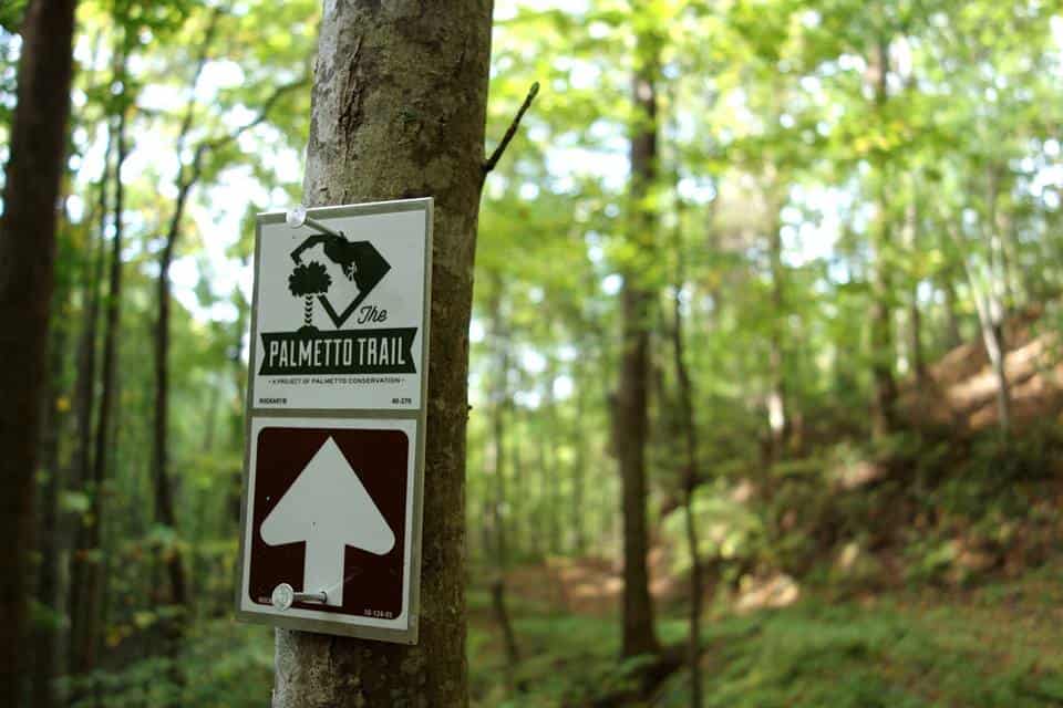
The Stumphouse Passage is accessible from the center of Stumphouse Park ($5 entry fee per vehicle). Stumphouse Passage is dual-use with a 1.5 mile hiking trail and 9.34 miles of mountain bike trails. This is one of three Passages of the Palmetto Trail that are located in Oconee County. The Palmetto Trail stretches over 500 miles across SC from the upstate to the coast near Charleston.
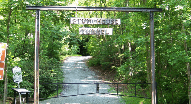
Located within Stumphouse Park ($5 entry fee per vehicle). The Stumphouse Mountain Tunnel was part of the Blue Ridge Railroad project, an 1850s attempt to link the port of Charleston to the cities of the Midwest by rail. The Civil War and subsequent collapse of the state’s economy brought construction to an end and the tunnel was never completed. Family-friendly 1/4 mile walk into the tunnel (flashlight recommended), park picnic shelter and outdoor bathrooms nearby.
A 75-ft waterfall tucked away along this accessible 3.5 mile trail makes this an interesting choice for a hike. If you start at the northern trailhead at the Cherry Hill Recreation Area, this meandering path is an easy hike, but the return trip is moderately difficult due to 1,100 foot elevation change. It is possible to be picked up by car at the southern end of the trail on Tamassee Road (FS 71). Alternatively, you can begin the hike at the southern end.
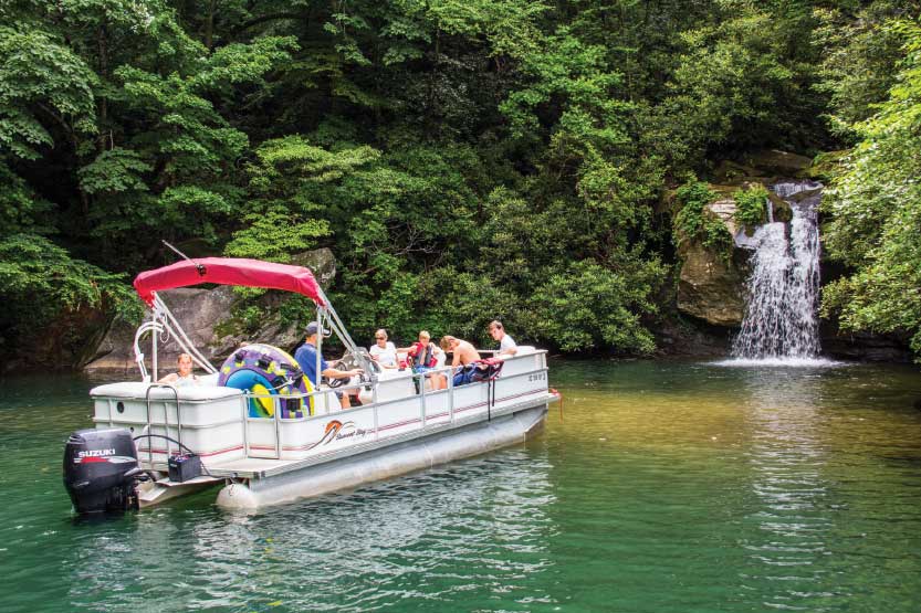
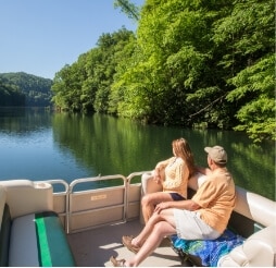
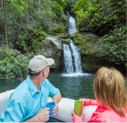
Located on Lake Jocassee, this falls is only accessible by boat. Launch from Devils Fork State Park (parking fee required). Boat rentals and lake tours available. Stop by Devils Fork State Park for map and directions. GPS coordinates for Devils Fork State Park: N 34.952139 W 82.946134
CAUTION: This hike has grown in popularity which has caused the trail to become more dangerous. It takes approximately 45 minutes to reach the falls and 45 minutes back out.
Wear shoes with good traction, pack water, and be prepared for pop-up rain storms. No cell service in the forest.
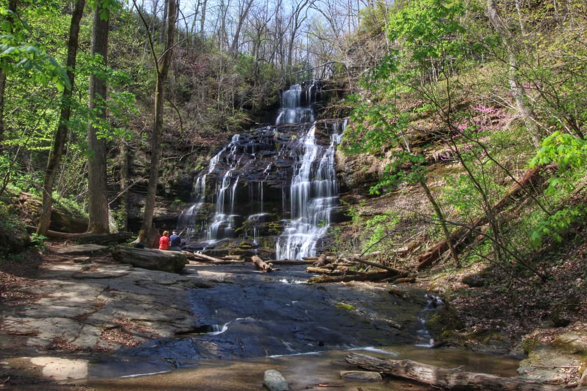
Impressive 60 ft. cascade over rock ledges is a favorite destination for visitors. Hike is 3 miles round trip. CCC era picnic shelter on site. GPS coordinates to the parking area: N 34.80557 W 083.12876