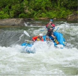
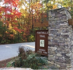
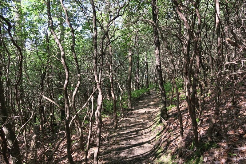
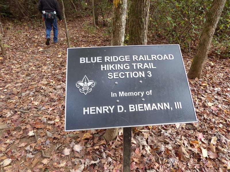
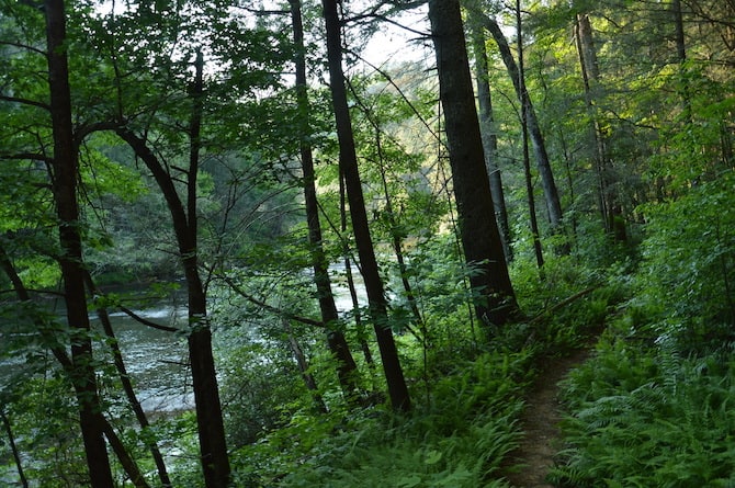
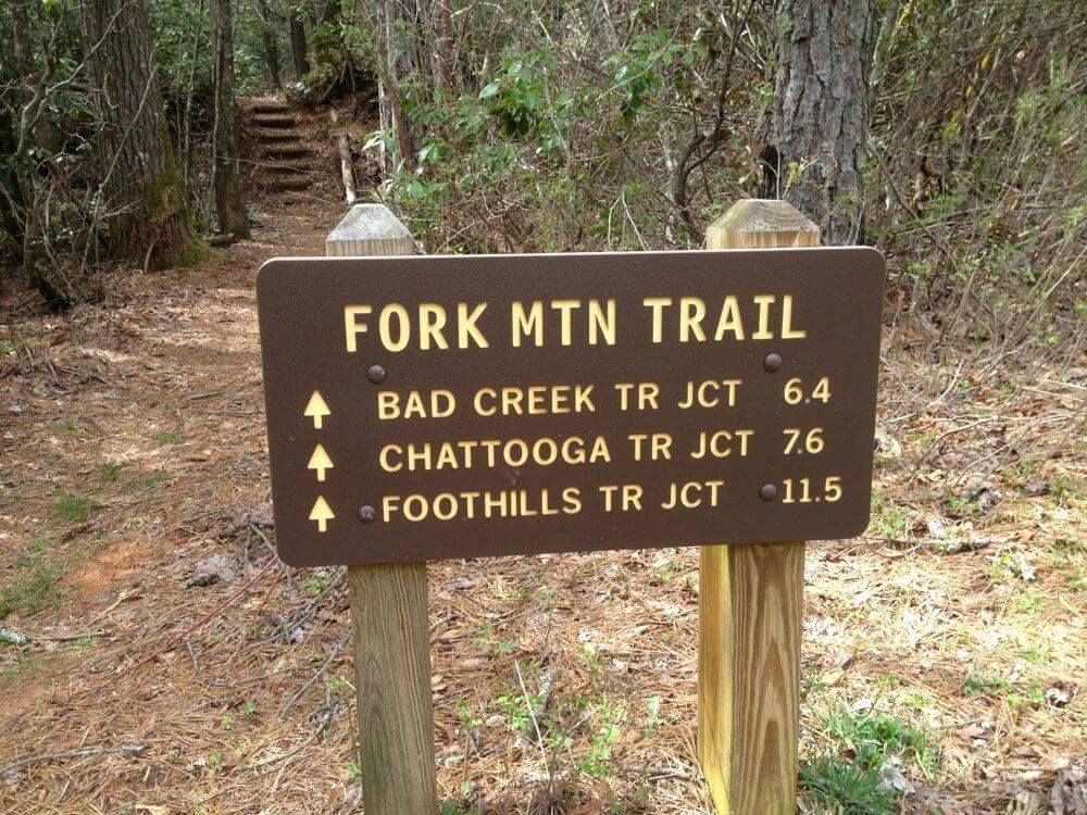
The region offers dozens of hiking trails. Many of the trails in Oconee County will take you into the wilderness where you’ll find native forest land. This is not a controlled environment, and oftentimes you might be in “dead zones” where you won’t get cell reception. Be sure to pack water and snacks, wear proper attire and appropriate shoes (not flip flops!). Many popular destinations have seen a surge in visitors. Please respect the natural surroundings and don’t trample foliage and tree roots or scamper over boulders that might shift under your weight. Please don’t litter. Pack it in, pack it out.
We encourage you to visit and enjoy our natural places! But keep in mind: Rescue crews are not close by, it will take time for help to arrive. It’s best to know what you’re getting into and be prepared in case of an emergency. Be cautious and safe while experiencing these wild, unpredictable settings.
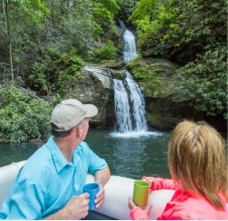
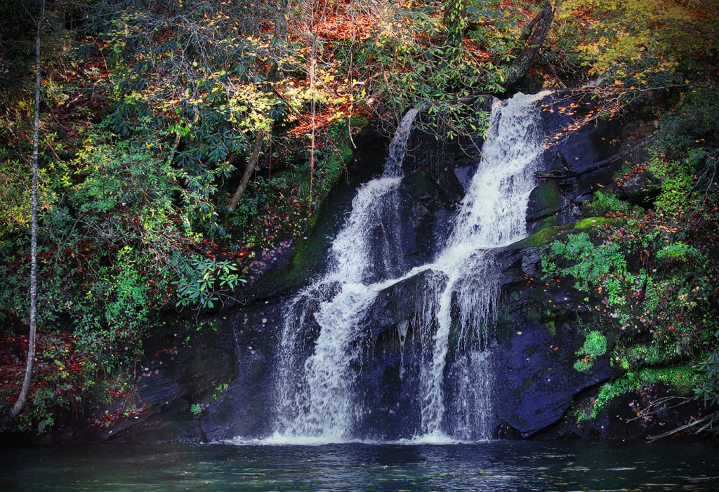
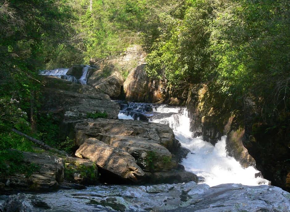
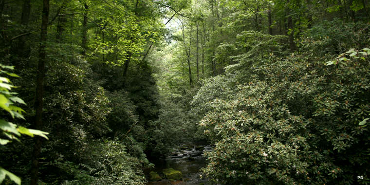
Oconee’s river terrain features some of the most beautiful waterfalls in the nation! In addition to the trails listed below, you’ll find hikes to some of the nearly 150 waterfalls found in Oconee County on our WATERFALLS page.
Salem, SC
Get Directions >

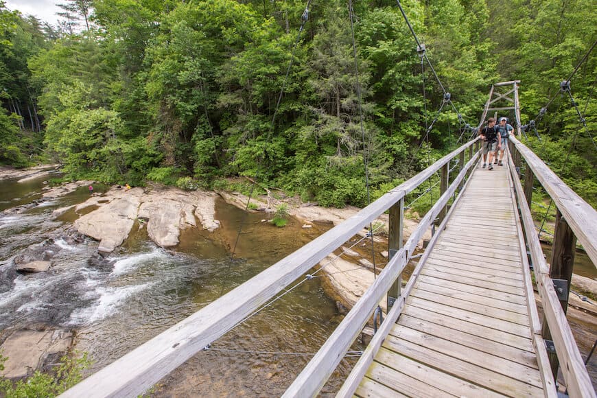
Mountain Rest, S
Get Directions >
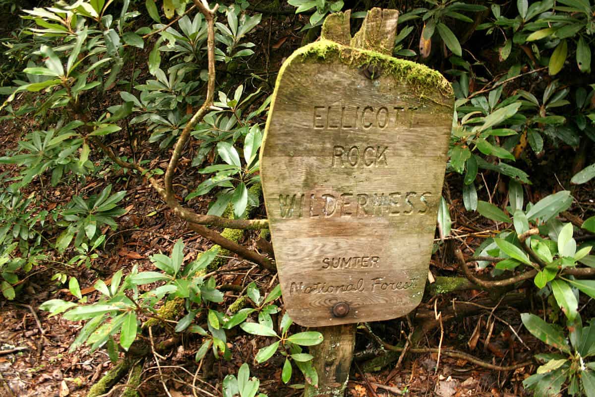
South Carolina, North Carolina, Georgia
Get Directions >

Mountain Rest, SC
Get Directions >

Before you leave, subscribe to our newsletter with monthly events and happenings in Oconee County, South Carolina.