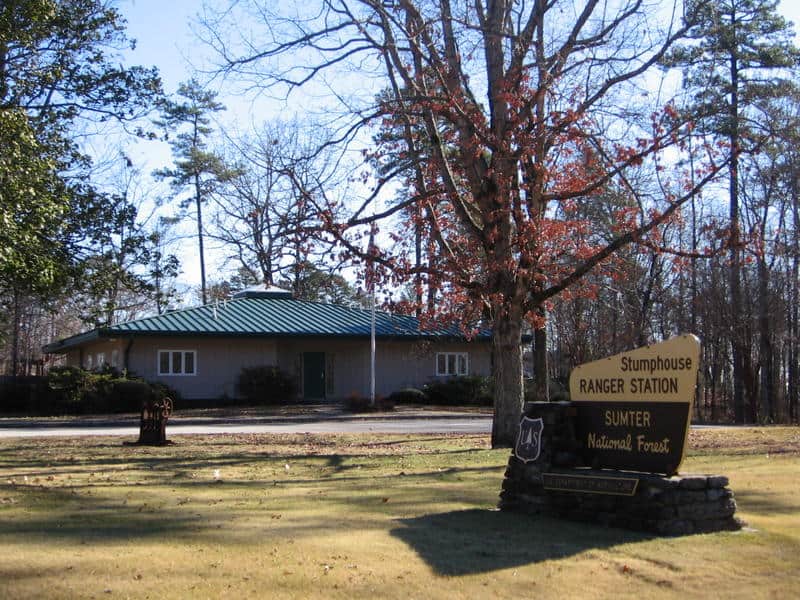
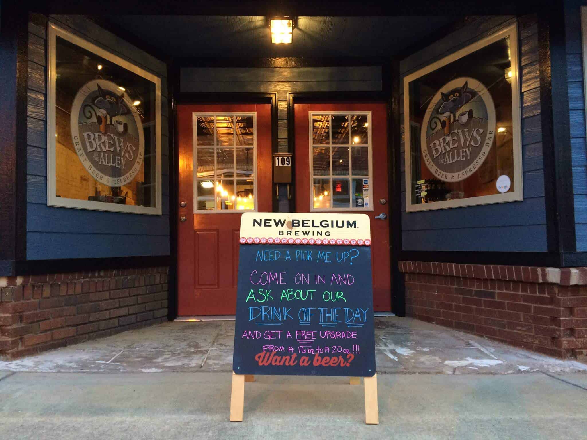
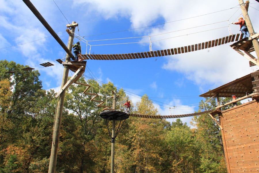
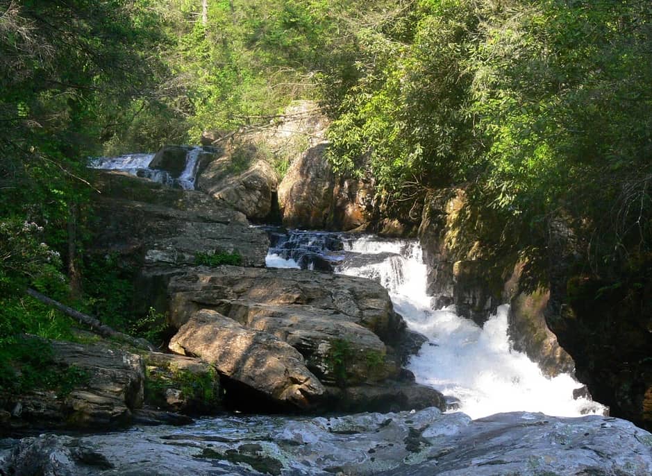
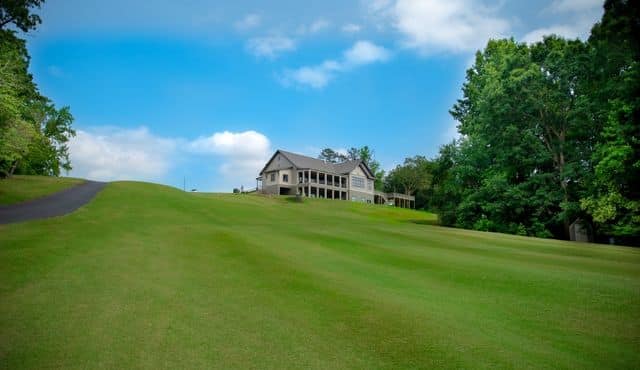
Mountain Rest, SC
Get Directions >

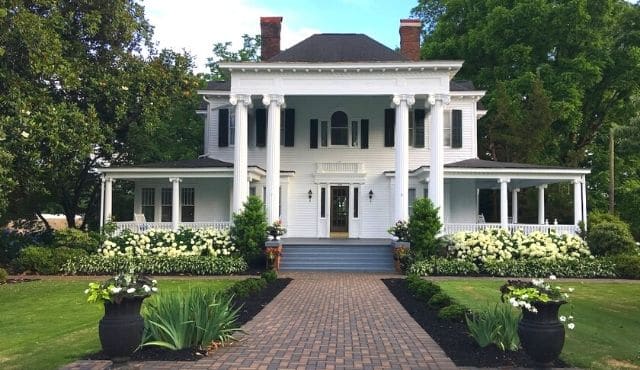
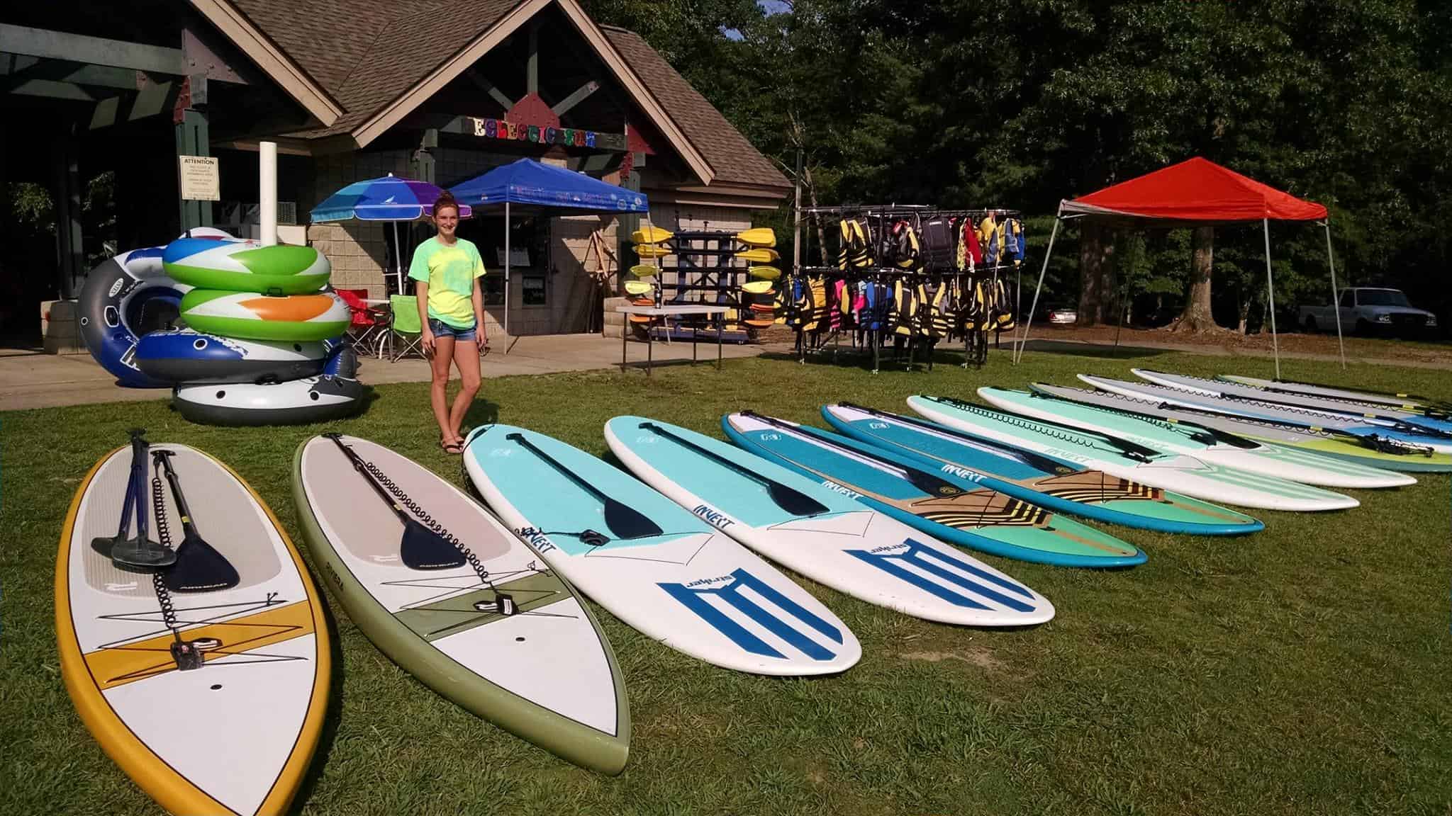
Salem, SC
Get Directions >
Salem, SC
Get Directions >


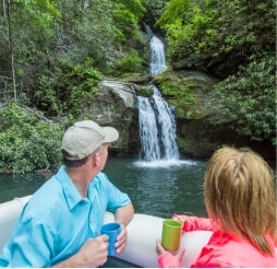
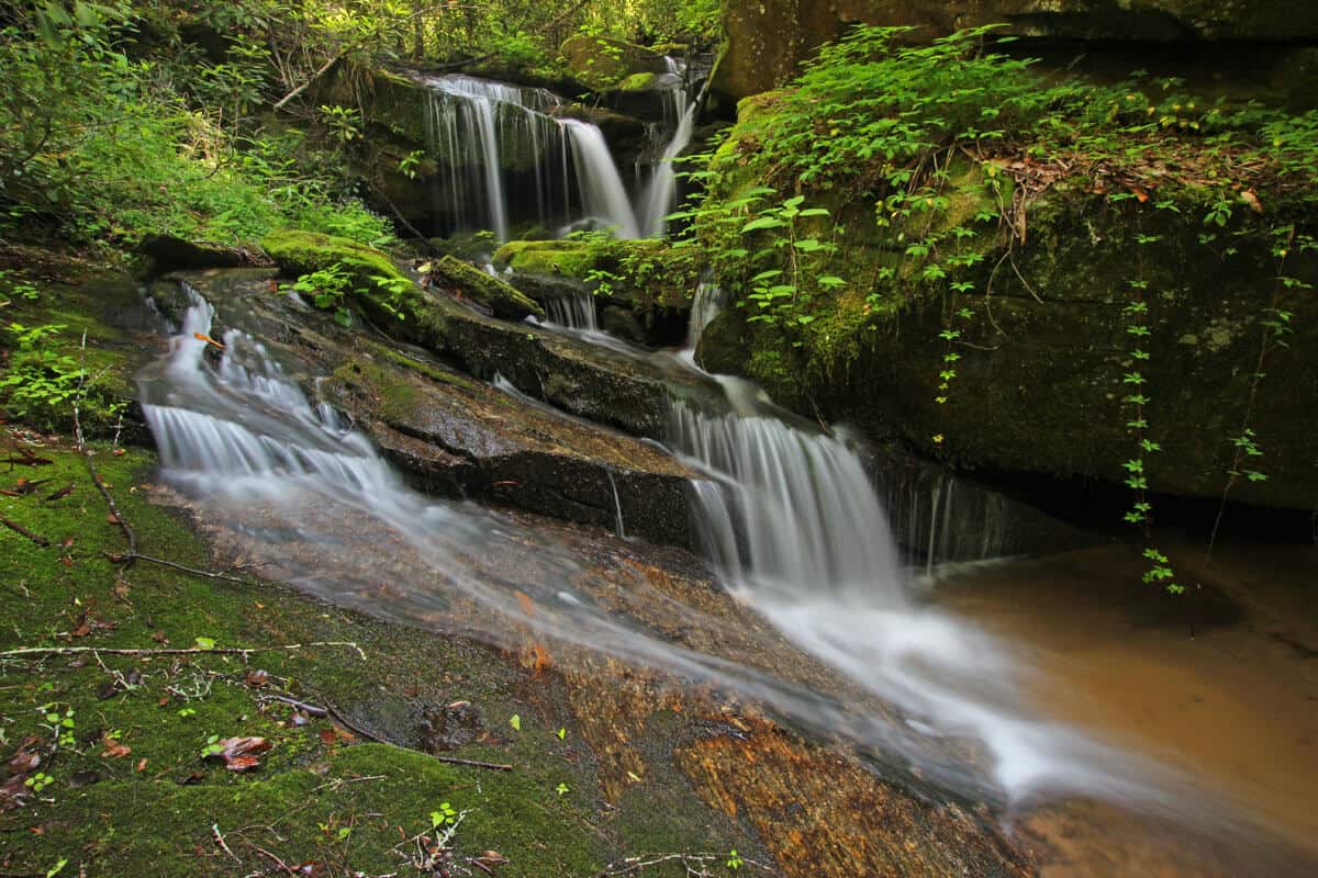
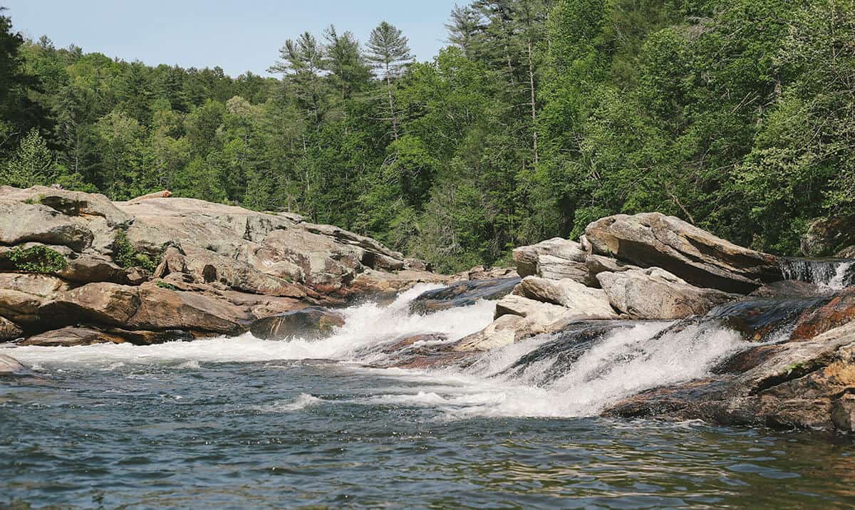
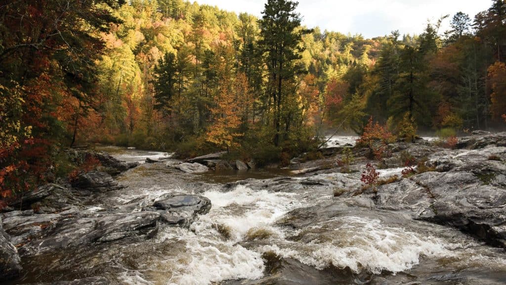
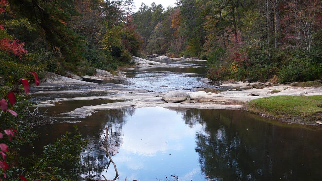
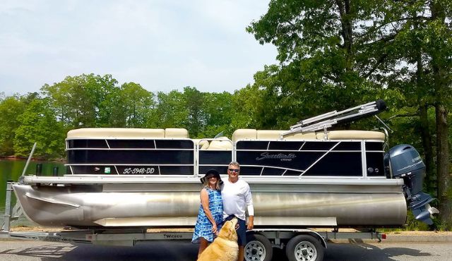
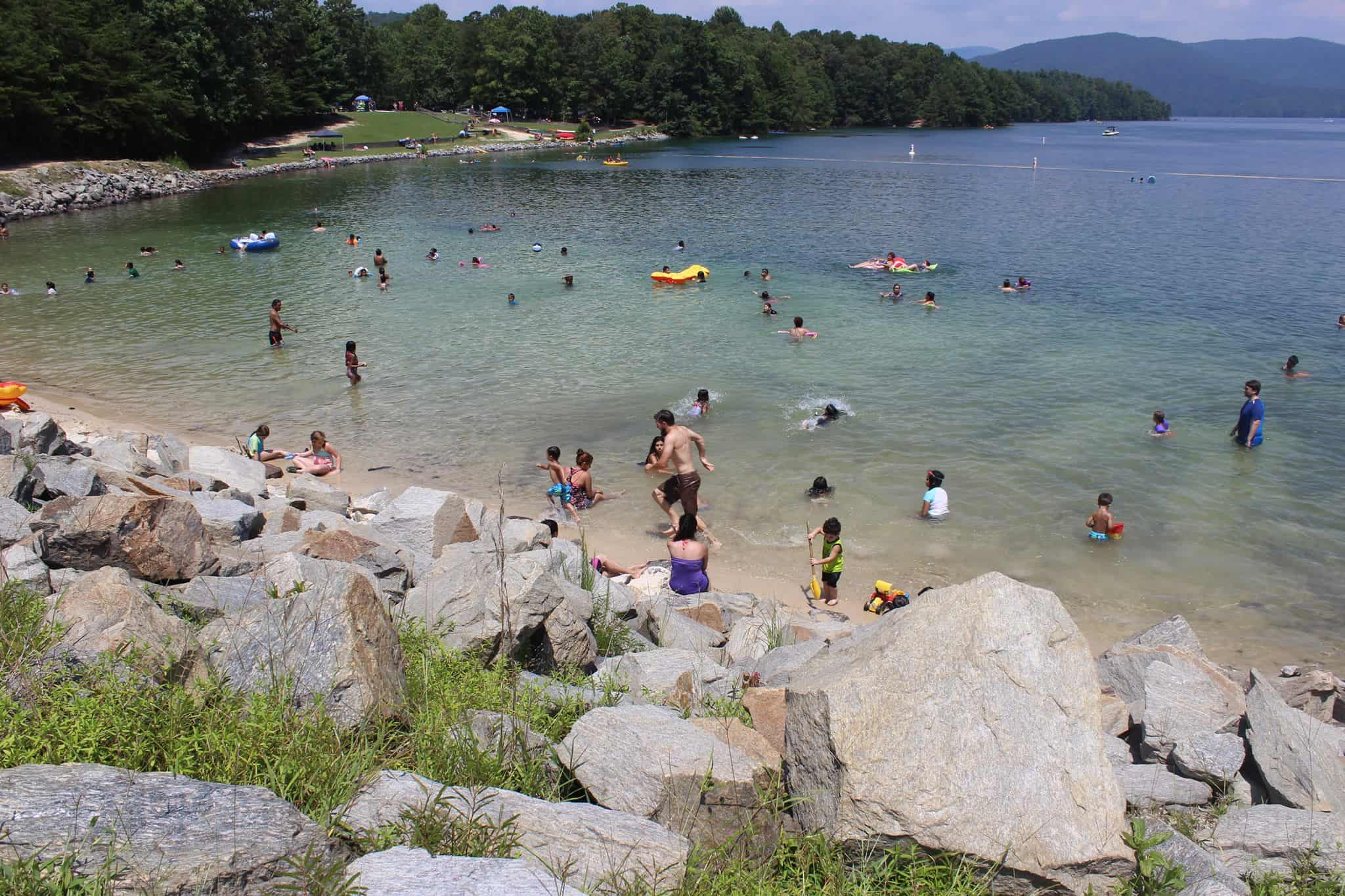
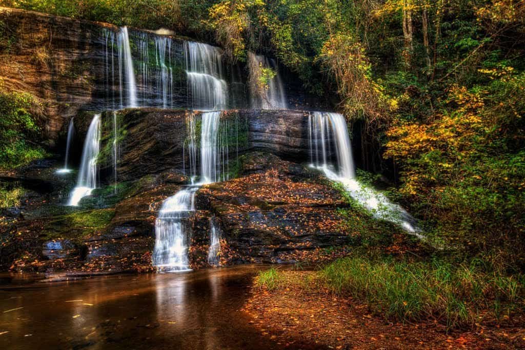
Lake Jocassee
Get Directions >

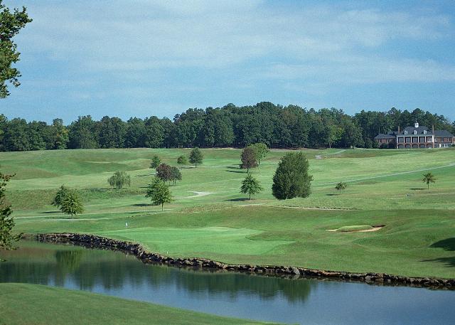
Fair Play, SC
Get Directions >


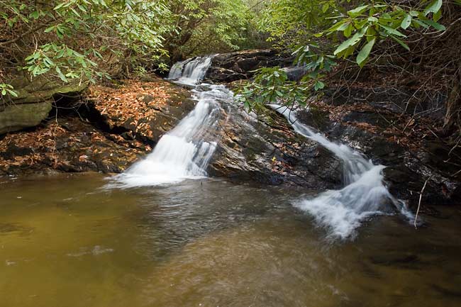
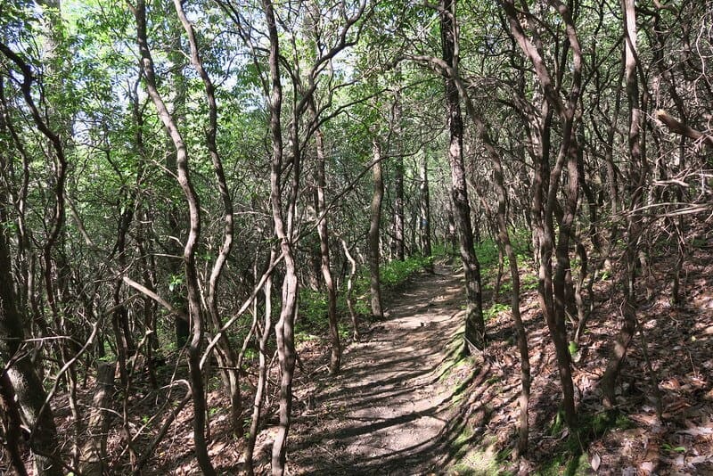
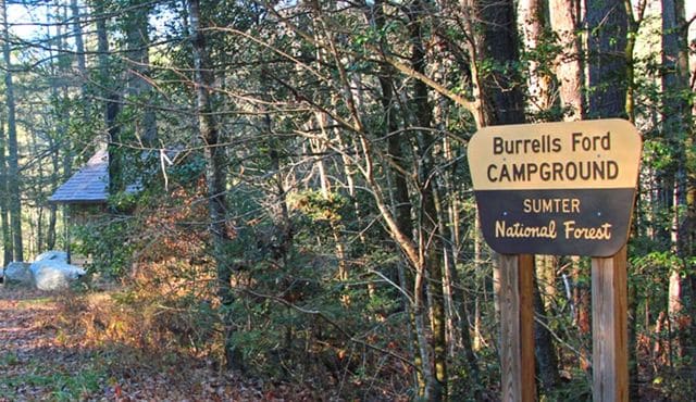
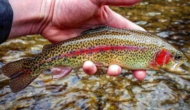
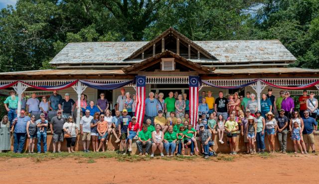
Long Creek/Mountain Rest, SC
Get Directions >

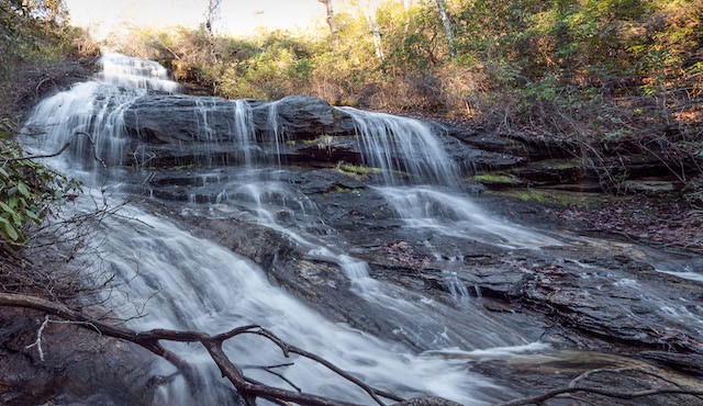
Mountain Rest, SC
Get Directions >

Mountain Rest, SC
Get Directions >

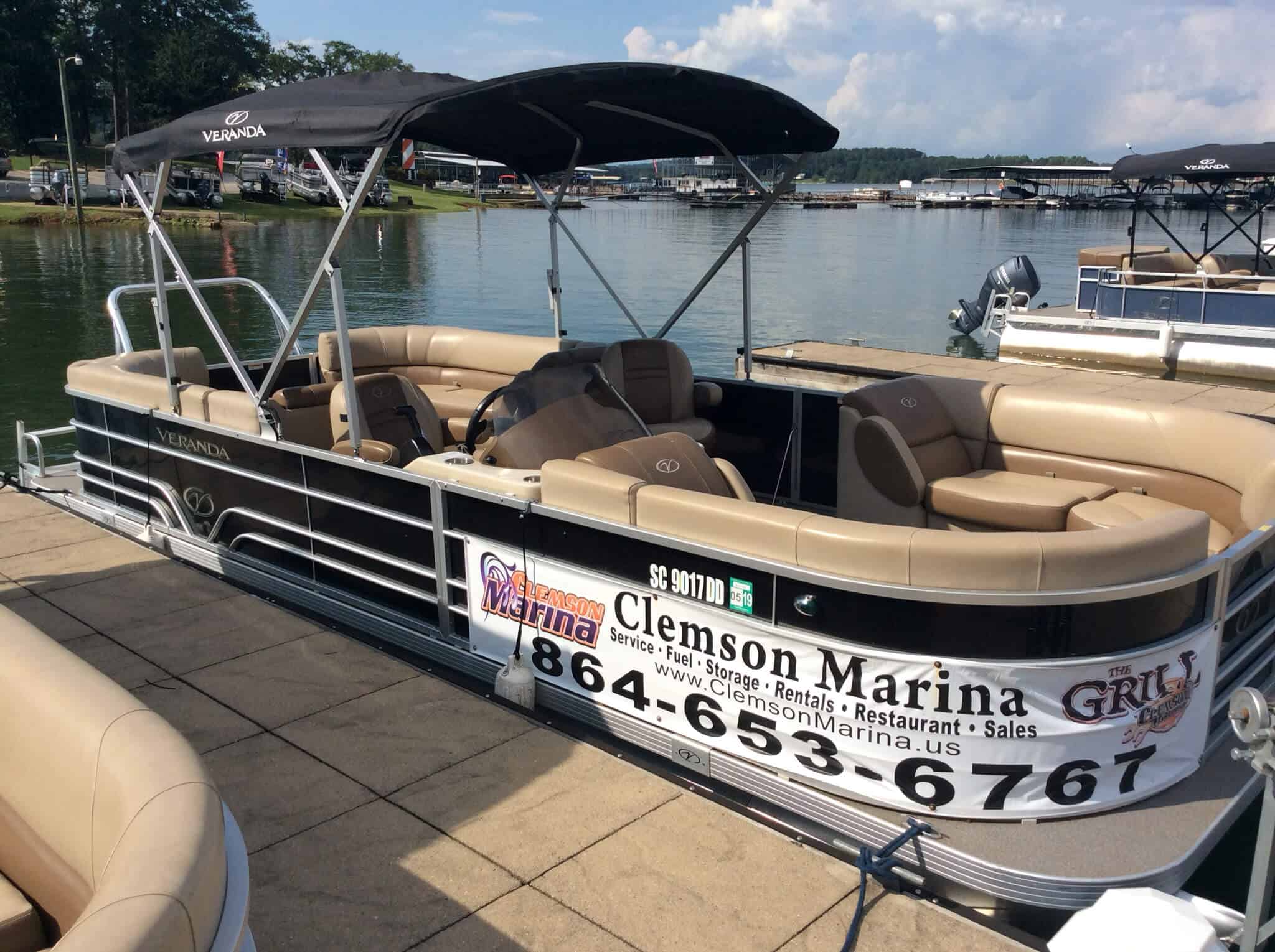
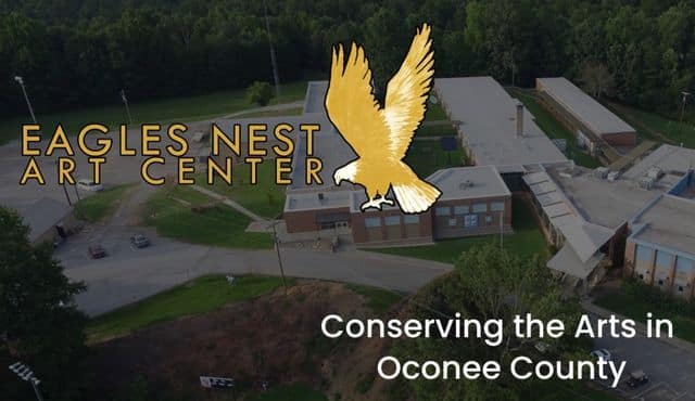
Seneca, SC
Get Directions >
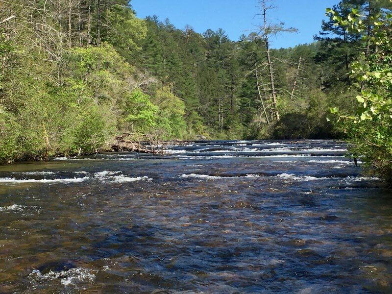
Seneca, SC
Get Directions >

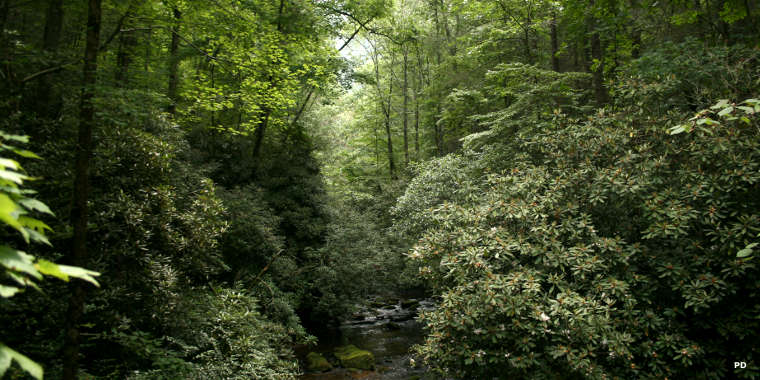
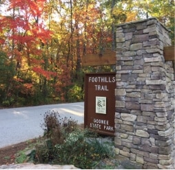
Mountain Rest, S
Get Directions >
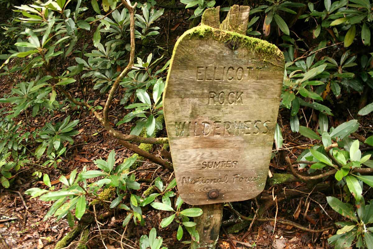
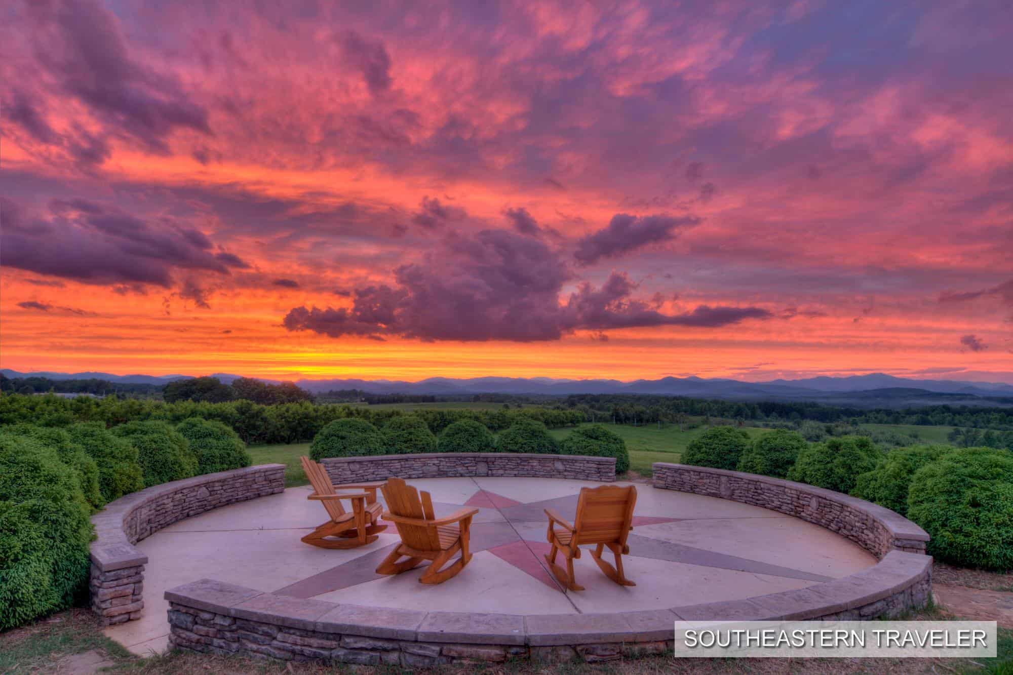
South Carolina, North Carolina, Georgia
Get Directions >


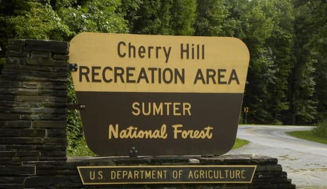
Before you leave, subscribe to our newsletter with monthly events and happenings in Oconee County, South Carolina.