Waterfalls

Search

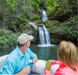
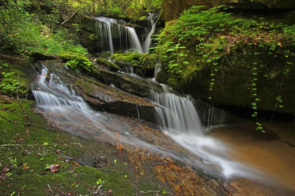
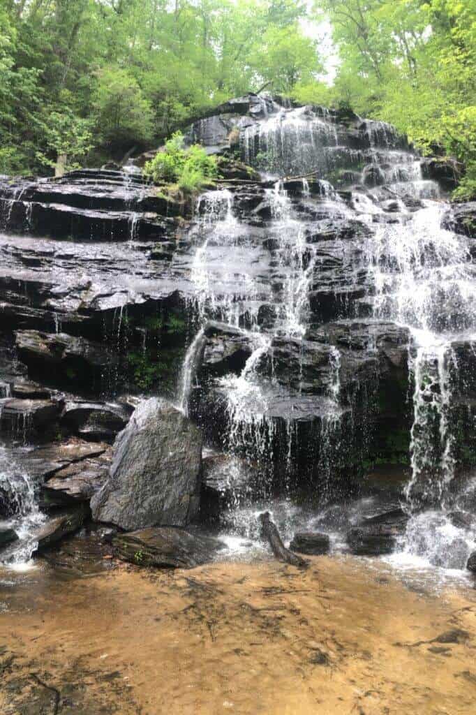
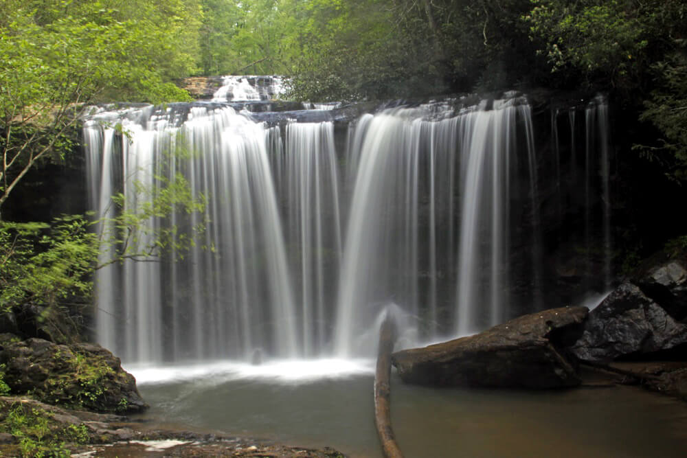
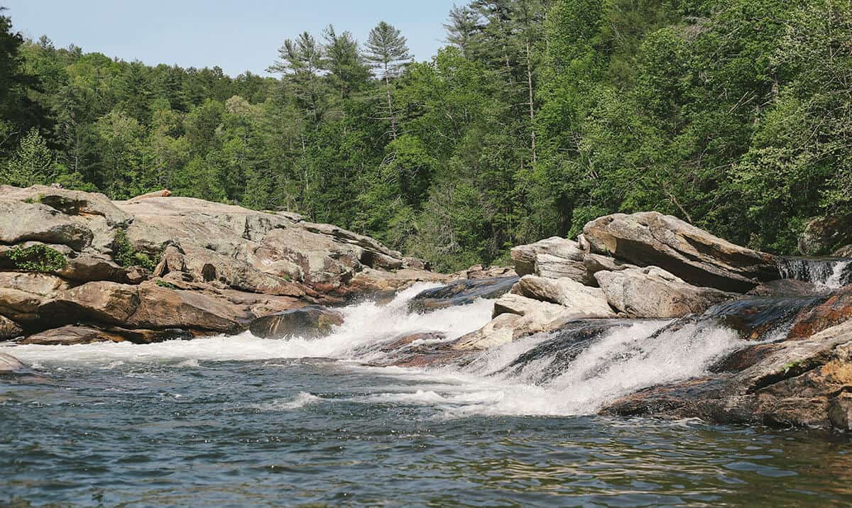
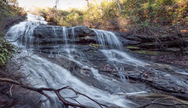
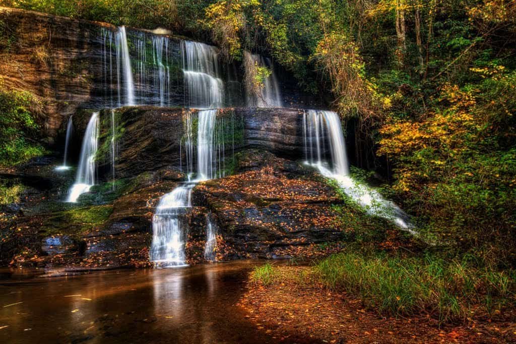
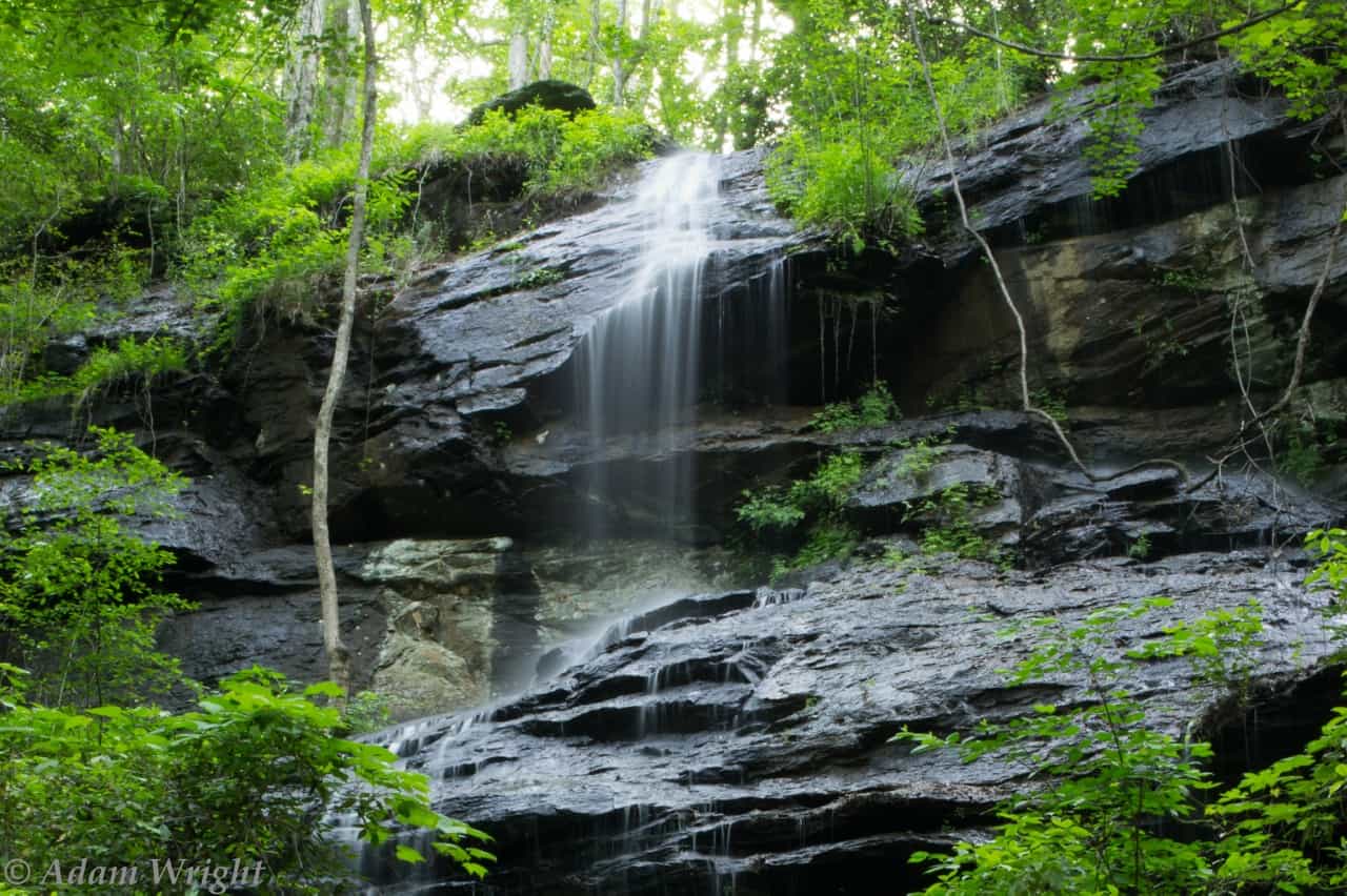
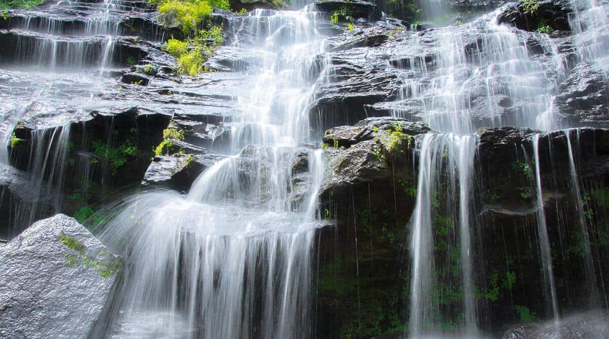
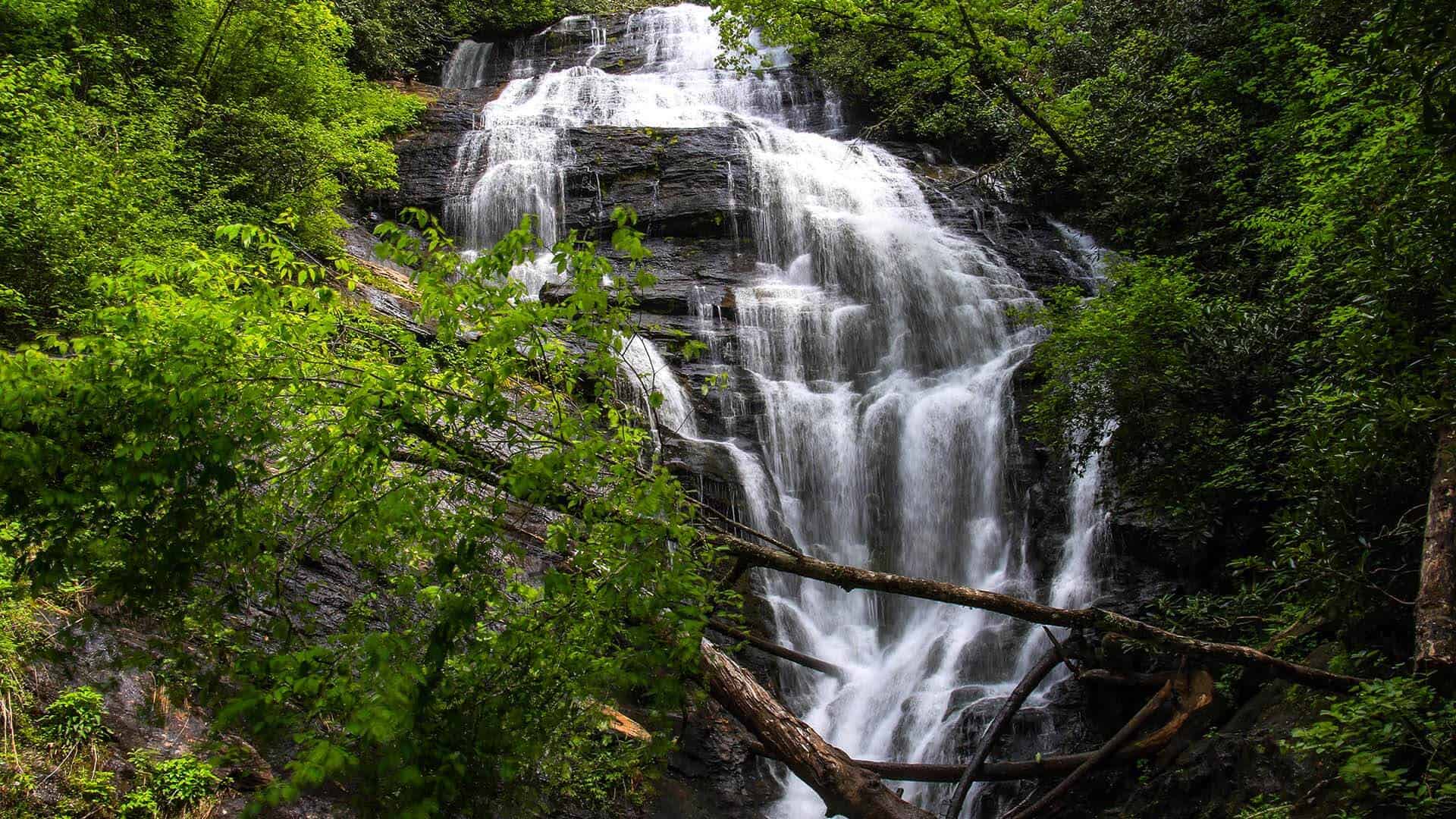
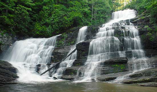
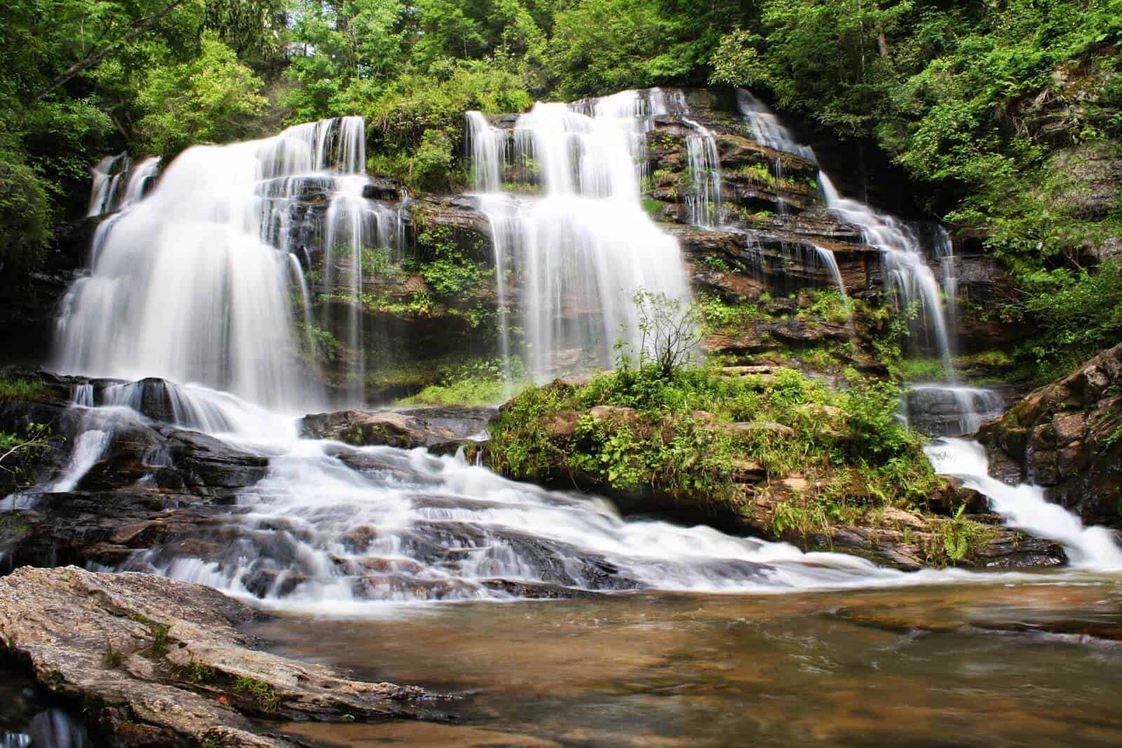
Rushing waters surrounded by stunning scenery make each of Oconee’s waterfalls a special place to visit. Our waterfalls are located in the forest and are not viewable from roads. Hikes to these waterfalls range from easy to extremely difficult, but each one offers a rewarding experience in an amazing setting!

Share

Bee Cove Falls

Salem, SC
Get Directions >

Remote multi-tiered falls is a difficult 2-3 hour hike, but worth the effort! Directions/GPS N 34.98149 W 083.06280 –NORTH from Walhalla on Hwy. 28. –BEAR RIGHT Hwy. 107 –12.5 miles PARK on left. –WALK 150 yards on right to FS 702 –Roadbed goes along creekside. –BEAR RIGHT at 3-way intersection. –FOLLOW less defined path & sounds to waterfalls. GPS coordinates to parking area: N 34.98149 W 083.062800

Share

Big Bend Falls

Largest vertical drop of the Chattooga River is a sight to see with a 30 ft. drop. It is a difficult 3 hour walk that we recommend for adventurous, expert hikers. GPS Coordinates to parking area: N 34.97128 W 083.11465
photo of brasstown falls

Share

Brasstown Falls

Four falls ranging from 20ft. to 40ft. The trails have been updated and are more accessible. New steps along the trail have been added along with several viewing platforms. The left trail to the upper falls has a family friendly short hike with bridge over the creek. Good swimming holes at both ends of the trail. Brasstown Creek BBQ is a great place to eat Fri. or Sat. 4-9pm (cash only). GPS Coordinates Parking Area: N 34.71908 W 083.30158

Share

Bull Sluice

Bull Sluice is a Class Five rapid on Section III of the Chattooga River. This is a popular place to view rafting trips running the rapid. It’s a short .2 mile hike from the Hwy 76 Chattooga River Access parking lot. Follow the trail downhill to where it forks, and go right along the gravel trail to reach a viewing area. Depending on your mobility level, you can walk on huge rocks on the side of the river to get a better view. (The left fork takes you to a beach downstream of the rapid.)
Miuka or Cheohee Falls

Share

Cheohee or Miuka Falls

Mountain Rest, SC
Get Directions >

A 75 ft. waterfall on Townes Creek easily viewed with a 45-minute hike. This is one of two falls you can reach by hiking the Winding Stairs Trail, the other being Secret Falls. Go north from Walhalla on Hwy 28, bear right on Hwy 107 for 8 miles. Follow signs for Winding Stairs Trail which turns right in .2 miles, make a sharp left and continue 1/3 miles to clearing and hear the falls. Hike through foliage to creek. GPS coordinates to parking area: N 34.94220 W 083.08975

Share

Fall Creek Falls

Multiple falls range from 30 to 40 ft. within a 1-mile stretch. A long, steep, but not dangerous 2-mile hike made more difficult during spring and summer by foliage. Best viewing is in winter. GPS coordinates to parking area: N 34.82246 W 083.25079

Share

Hidden Falls

Near the head of the Foothills Trail, this 50 ft. waterfall over granite ledges can be reached with a moderate, one-hour hike. Best show of waterfall occurs after a rain. GPS coordinates to parking area: N 34.863309 W 083.09820
picture of issaqueena falls

Share

Issaqueena Falls

Located in Stumphouse Park ($5 entry fee per vehicle). It’s an easy 5-minute walk to viewing platforms where you can view the beautiful waterfall named for a Creek maiden who hid on one of the falls’ ledges to avoid capture during an Indian attack. There is a rough trail next to the lowest platform, which leads to the base of the falls. However, the PATH IS QUITE DANGEROUS and visitors are not encouraged to try it. GPS coordinates to the parking area: N 34.80740 W 083.12158

Share

King Creek Falls

This 70 ft. tumble through a laurel-choked gorge is one of the best to view. Easy to moderate 30-minute hike that is sometimes slippery. Trail is well marked, with restrooms at the trail head. Family friendly beautiful sight. Kids can play in the pool at the base of the falls. You can hike the look and view the river. GPS coordinates to parking area: N 34.97128 W 083.11465

Share

Laurel Fork Falls

Salem, SC
Get Directions >

Consider visiting the falls by boat instead of hiking. Witnessing the 80 ft. high falls from a boat in the waters of Lake Jocassee is a one-of-a-kind experience. There are several other falls to be viewed on the lake including Wrights Creek and Mill Creek Falls. For lake access, enter at Devils Fork State Park. Boat rentals and guided tours are available. If you opt to hike, it’s 16 miles round trip. GPS coordinates to parking area: N 35 02.938 W 82 48.828

Share

Lee Falls

A bit hard to find, but one of Oconee’s most picturesque falls is on Tamassee Creek. No official trail makes this a challenging hike. Best visibility in wintertime. No swimming. Last 1/4 mile is difficult with lots of boulder climbing. GPS coordinates to parking area: N 34.89344 W 83.08131. Waterfall coordinates: N 34.89428 W 83.10191

Share

Long Creek Falls

A 50-foot waterfall on its namesake creek just before it flows into the Chattooga River. The 1.6 mile unofficial trail is moderately difficult and not well-marked. The last 150 ft. is very steep making it a challenge to climb out. GPS coordinates to parking area: N 34.77767 W 083.31212. Paddlers and rafters going down the Chattooga River can view this waterfall from the water.

Sign up to know what’s going on in our towns!

Before you leave, subscribe to our newsletter with monthly events and happenings in Oconee County, South Carolina.

Name