Hidden Falls
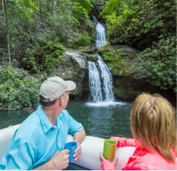
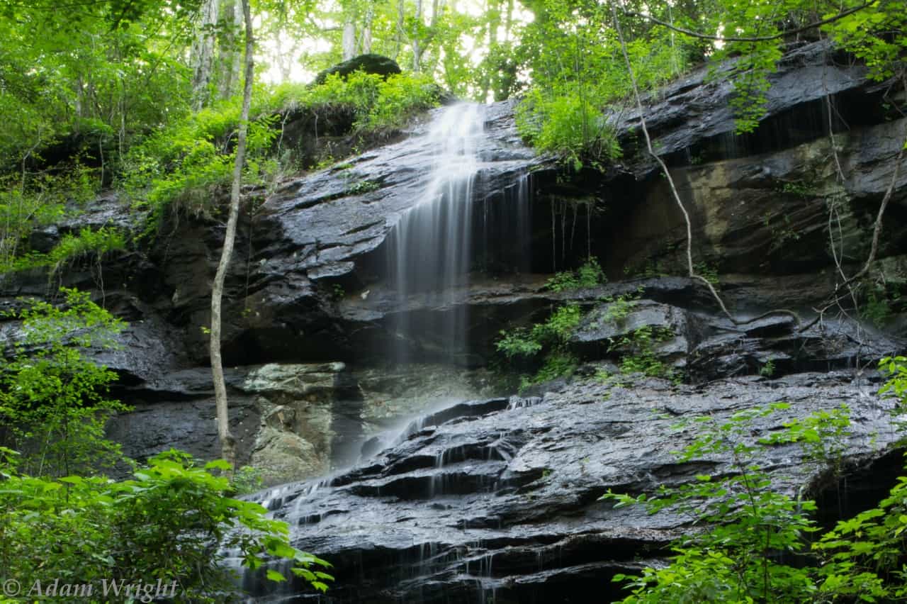
Near the head of the Foothills Trail, this 50 ft. waterfall over granite ledges can be reached with a moderate, one-hour hike. Best show of waterfall occurs after a rain. GPS coordinates to parking area: N 34.863309 W 083.09820
More to do around Mountain Rest, SC
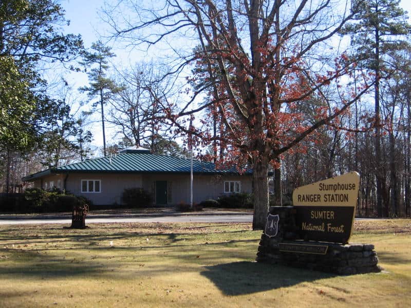
Andrew Pickens Ranger District
Headquartered at Stumphouse Ranger Station. Andrew Pickens Ranger District is located in Oconee County on more than 85,000 acres in Sumter National Forest. Popular attractions on the district include: hunting, fishing, hiking, fall color sightseeing, camping, horseback riding, and whitewater activities on the wild and scenic Chattooga River.
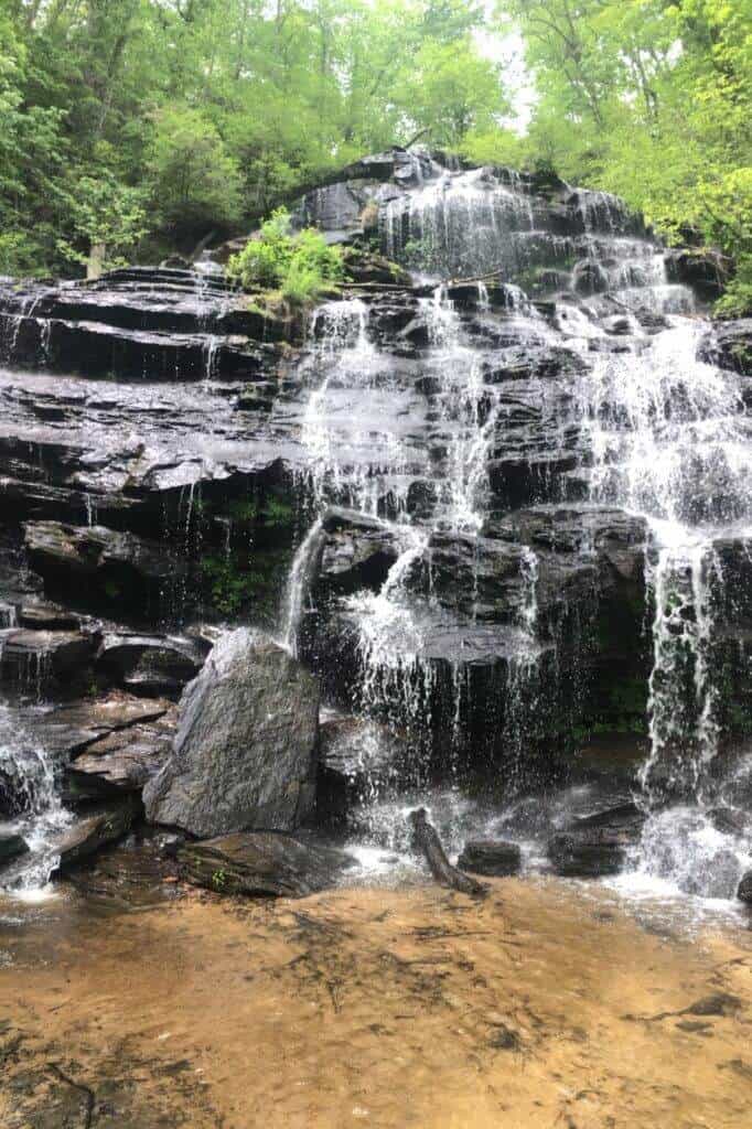
Big Bend Falls
Largest vertical drop of the Chattooga River is a sight to see with a 30 ft. drop. It is a difficult 3 hour walk that we recommend for adventurous, expert hikers.
GPS Coordinates to parking area: N 34.97128 W 083.11465

Big Bend Trail
This 2.7-mile, out-and-back trail begins a the Cherry Hill Recreation Area and eventually ends at a junction with the Foothills Trail along the Chattooga River. An adventurous scramble on an unmaintained trail along the river affords views of 30-ft. Big Bend Falls, the largest drop on the Chattooga River.
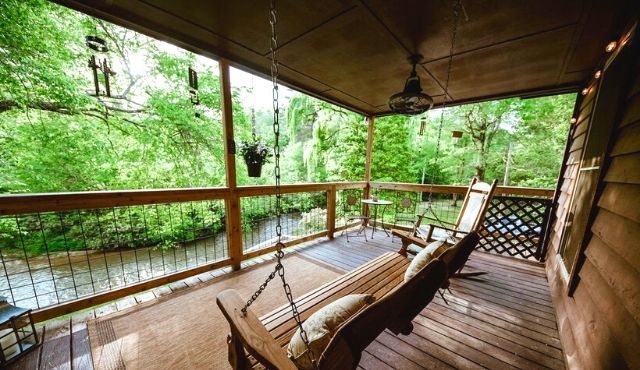
Boarhogs Place
Mountain Rest, SC
Get Directions >
Water front cabin along the Chauga River. Private, peaceful and relaxing. Cabin has 2 bedrooms, 1 bathroom and sleeps 4 people.
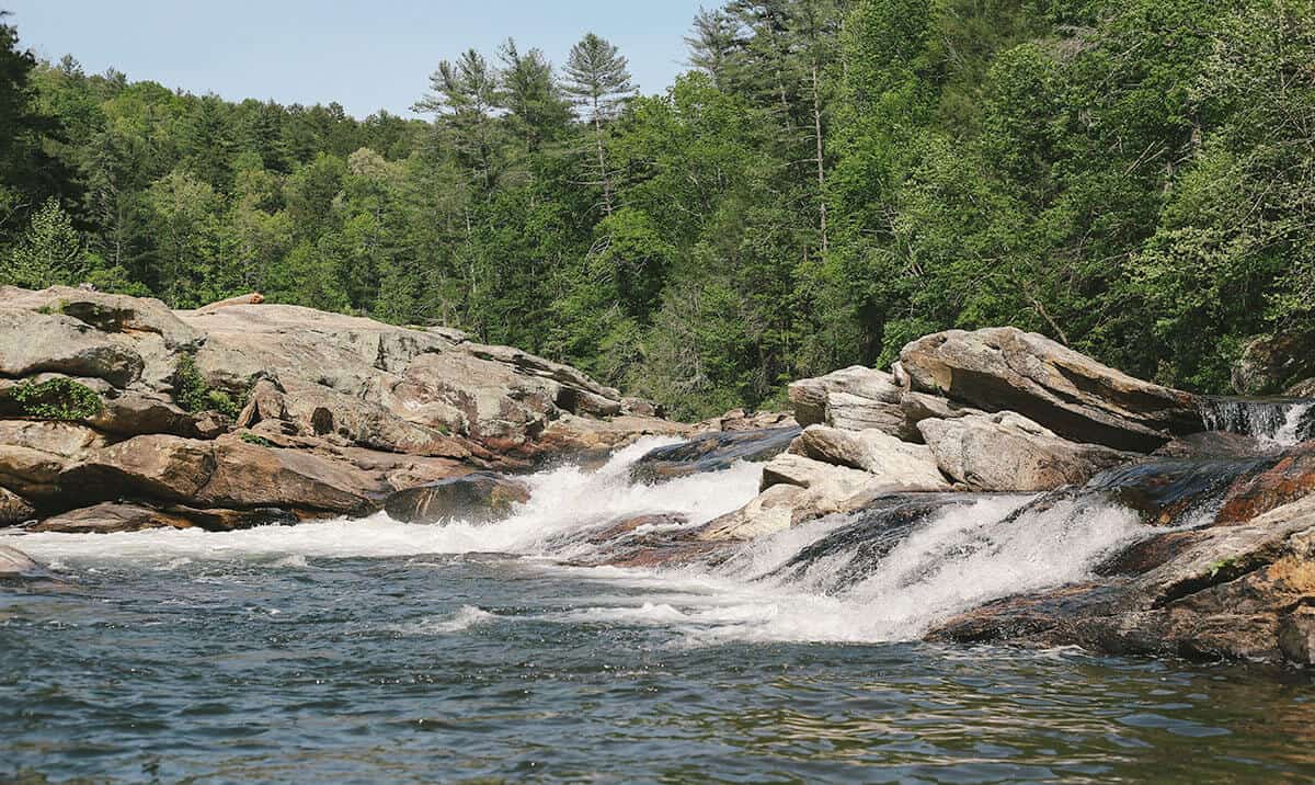
Bull Sluice
Bull Sluice is a Class Five rapid on Section III of the Chattooga River. This is a popular place to view rafting trips running the rapid. It’s a short .2 mile hike from the Hwy 76 Chattooga River Access parking lot. Follow the trail downhill to where it forks, and go right along the gravel trail to reach a viewing area. Depending on your mobility level, you can walk on huge rocks on the side of the river to get a better view. (The left fork takes you to a beach downstream of the rapid.)
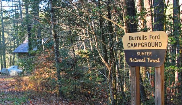
Burrells Ford Campground
Campground offers campsites, pit toilet, picnic tables and fire rings (no electricity or water available). It’s a 1/4 mile walk for sites along the Chattooga River. From campsites it’s pretty easy to hike and see the impressive King Creek Falls. Burrells Ford is a good base camp location for day hiking and exploring the Ellicott Rock Wilderness. Campground is open year round and no charge.

Cassidy Bridge Hunt Camp
Located on the Chauga River, this campground is open and free to use during big game season (Oct. 1 – Dec. 31) and turkey season (April 1 -30). Other times of the year, the camp is open by reservation for $30/night. The campground has vault toilets and trash cans. It can accommodate groups of up to 100 people. Families like to reserve the camp for reunions, cookouts and camp outs. The Chattooga River and commercial outfitters are within 15 minutes of the campground.
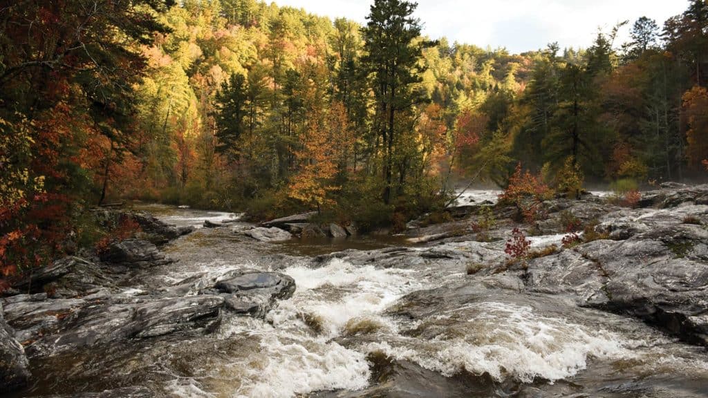
Chattooga River
The Chattooga River is the boundary between GA & SC. It is nationally designated as Wild and Scenic and is protected from development. Known for whitewater rapids, and meandering, mountainous woodland passage. The lower sections of the Chattooga are considered among the best whitewater in the SE with heart-thumping Class III to Class VI rapids.
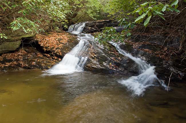
Chattooga River – Section 1
Section 1 is the West Fork of the Chattooga River. It’s a 6-mile stretch that is ideal for tubing and Class II float trips.
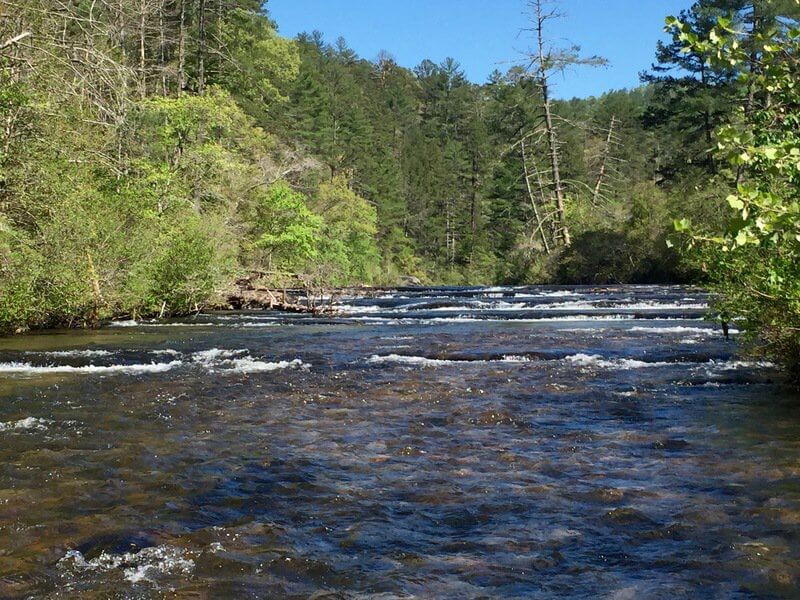
Chattooga River – Section 2
Section 2 is a good beginner whitewater section with class I and II rapids. This 7 mile run is a good day trip with opportunities to stop and picnic on large boulders, or stop to fish for trout. The Chattooga has excellent opportunities for fishing, camping, and hiking.

Chattooga River Fly Shop
Full service fly shop located just a few miles from the Chauga & Chattooga Rivers. They have “Hot Flies” and all your fly fishing needs.
Guided fly fishing trips, both full & half day, casting lessons & fly tying instruction for the novice to the expert.
Chattooga Trail
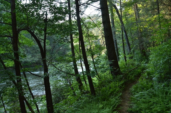
15.5 mile trail that runs parallel to the famous Chattooga River, and shares 8.5 miles with the Foothills Trail. It passes through some of the finest wilderness in South Carolina. The northern terminus of the Chattooga Trail is Ellicott Rock, where Georgia, North Carolina and South Carolina meet. Waterfall lovers shouldn’t miss this trail, since you can see King Creek, Spoonauger, Big Bend, Pigpen and Licklog Falls at points along the trail.
Chattooga Trails Bed & Barn
Mountain Rest, SC
Get Directions >
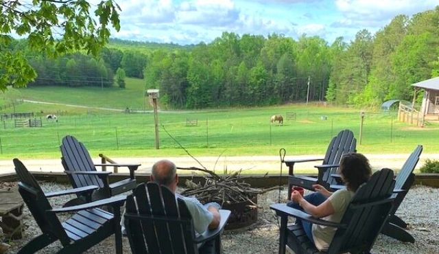
Variety of lodging for people and their horse companions. Main house guest rooms, Hunters Hideout basement apartment, RV sites with full hook ups and Sheep Wagon glamping. For horses: paddocks, pasture, barn, or tied up at a hitching post beside RV sites. Ride out from the property 1.5 miles to the Rocky Gap Trail System where you can ride for miles. Trails lead to the Chattooga River and cross into GA. Come back and end your evening by the campfire in the quiet setting.
Chauga Narrows
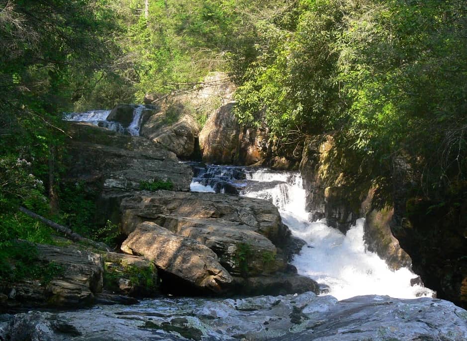
Located on the Chauga River, view of the narrow 25 ft. high falls. A moderate hike. Great picnic spot and swimming along the river. For best viewing of falls, some climbing over rocks is required.
GPS coordinates to parking area: N 34.83332 W 083.17399
Chauga River
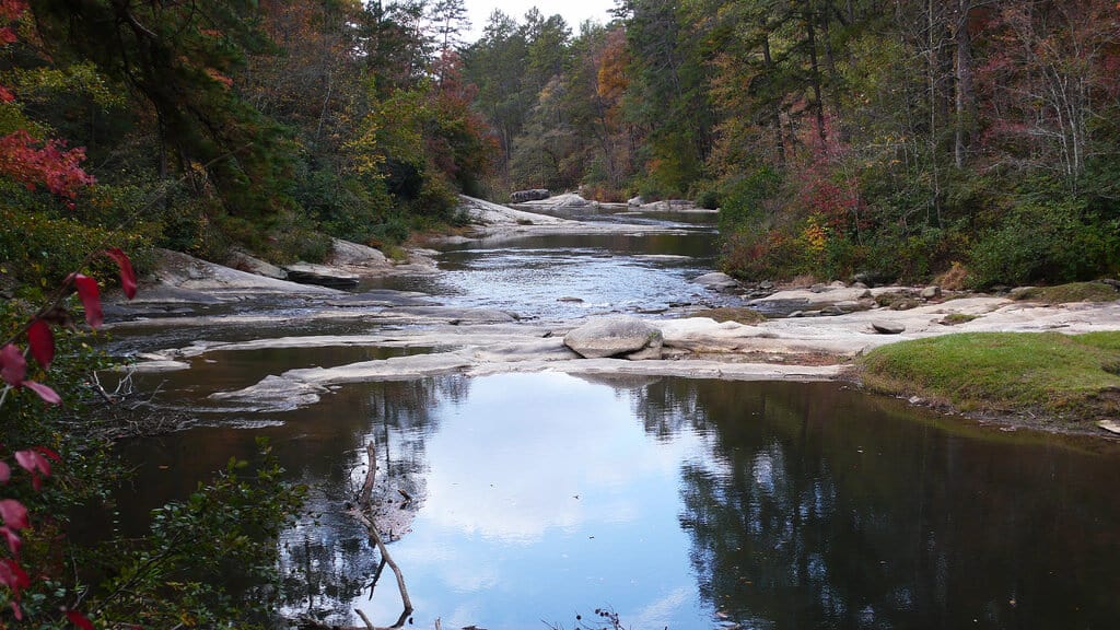
A 31 mile long tributary of the Tugaloo River that flows south to Lake Hartwell. The Chauga River offers much of the same scenic beauty and cool waters found nearby on the Chattooga River. Anglers like the Chauga River and often catch rainbow trout, brown trout, chubs, and redeye bass. Depending on the water level, sections of the Chauga are popular for whitewater kayaking. Good access and parking are available off Cassidy Bridge Road in Mountain Rest.
Cheohee or Miuka Falls
Mountain Rest, SC
Get Directions >
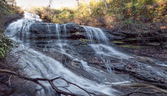
A 75 ft. waterfall on Townes Creek easily viewed with a 45-minute hike. This is one of two falls you can reach by hiking the Winding Stairs Trail, the other being Secret Falls. Go north from Walhalla on Hwy 28, bear right on Hwy 107 for 8 miles. Follow signs for Winding Stairs Trail which turns right in .2 miles, make a sharp left and continue 1/3 miles to clearing and hear the falls. Hike through foliage to creek. GPS coordinates to parking area: N 34.94220 W 083.08975
Cherry Hill Recreation Area
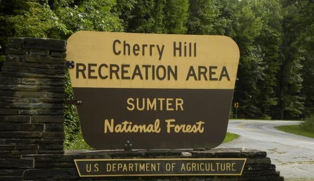
There are 29 campsites, some suitable for RVs. The campground has restrooms with flush toilets, hot showers and a dump station (no hook ups). Close to the Chattooga River, Walhalla State Fish Hatchery, Oconee State Park, Ellicott Rock Wilderness, and the Foothills Trail. Open April 1-October 31. Campsites are available through reservation only and the fee is $15 per night. Call (877) 444-6777 to reserve.
Ellicott Rock
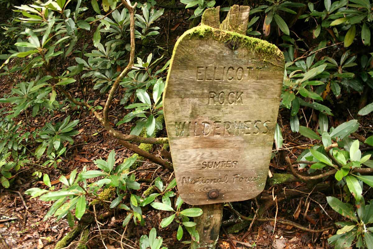
The rock is recognized as the place where the three states of South Carolina, North Carolina and Georgia meet. Andrew Ellicott’s survey was made in 1811. This rock was listed in the National Register of Historic Places in 1973 and is located in the Ellicott Rock Wilderness.
Fall Creek Falls
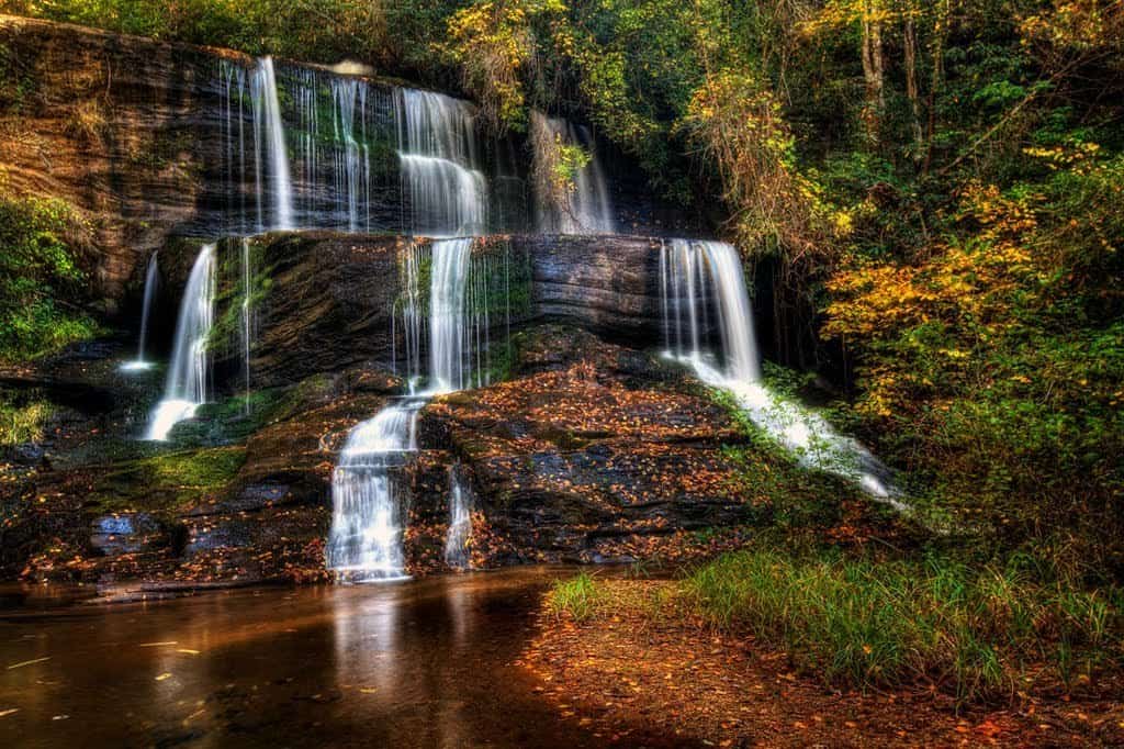
Multiple falls range from 30 to 40 ft. within a 1-mile stretch. A long, steep, but not dangerous 2-mile hike made more difficult during spring and summer by foliage. Best viewing is in winter. GPS coordinates to parking area: N 34.82246 W 083.25079
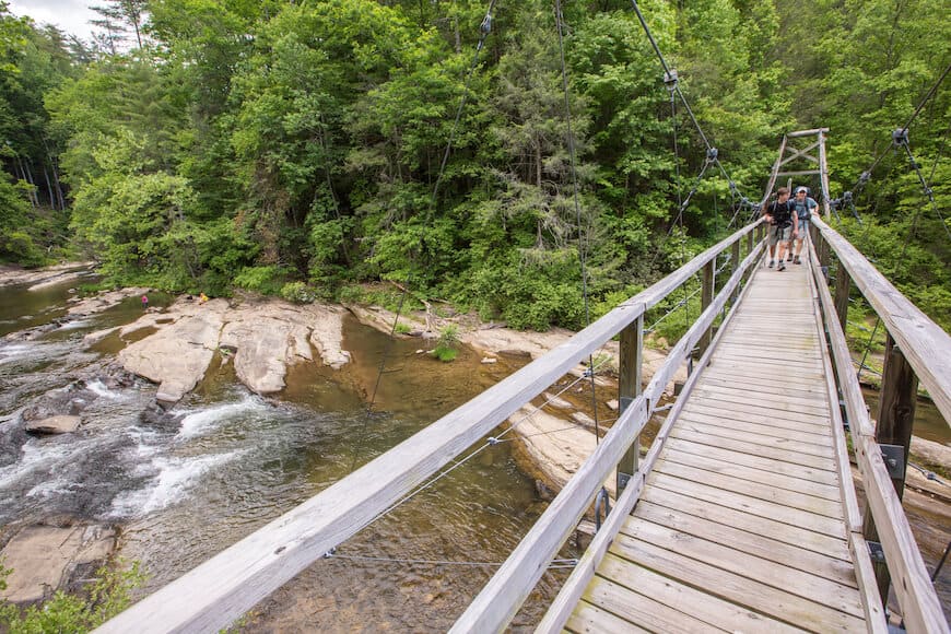
Foothills Trail
This National Recreation Trail has its southern terminus in Oconee State Park and extends to the north and east for 77 miles. Sections very in length and difficulty. Day-hikers can access the trail from different points; thru-hikers can spend a week backcountry hiking on the trail. Maintained by the Foothills Trail Conservancy.
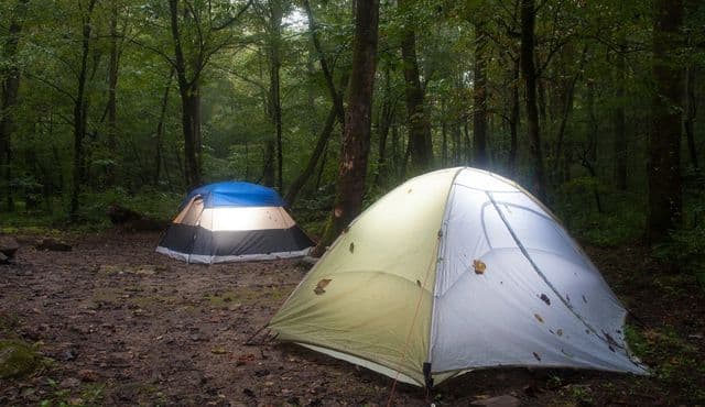
Grapevine
Primitive campsites that are first-come, first-served. Good for car camping, but doesn’t have amenities or facilities. Grapevine is located at the end of Forest Service Road 764, off of Chattooga Ridge Road (approximately 1.4 miles south of intersection with Whetstone Road.)
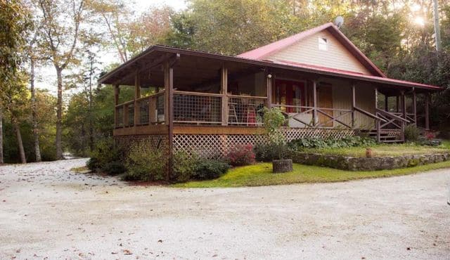
Henry’s Red Roof Cabin
Mountain Rest
Get Directions >
Henry’s Red Roof Cabin is located on the Chauga River. It is a retreat from everyday life that you and your family will enjoy.

Hidden Falls
Near the head of the Foothills Trail, this 50 ft. waterfall over granite ledges can be reached with a moderate, one-hour hike. Best show of waterfall occurs after a rain. GPS coordinates to parking area: N 34.863309 W 083.09820
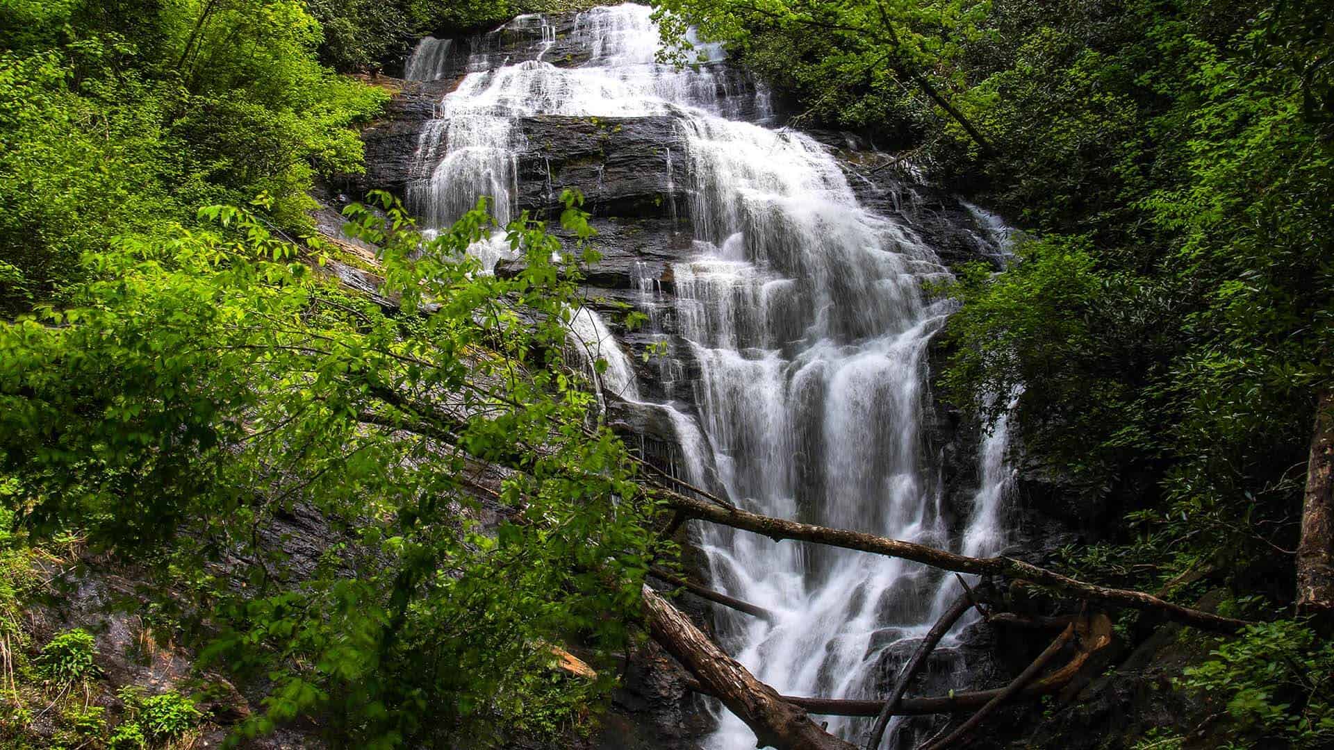
King Creek Falls
This 70 ft. tumble through a laurel-choked gorge is one of the best to view. Easy to moderate 30-minute hike that is sometimes slippery. Trail is well marked, with restrooms at the trail head. Family friendly beautiful sight. Kids can play in the pool at the base of the falls. You can hike the look and view the river. GPS coordinates to parking area: N 34.97128 W 083.11465
Last Resort at Lake Becky
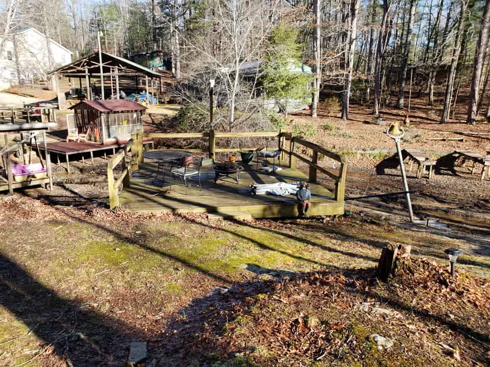
Fun little cabin in the mountains of South Carolina. Less than a mile to Oconee State Park, slightly further to waterfalls, fish hatchery, hiking trail, Stumphouse Tunnel Park.

Logistic Mystic
Mountain Rest, SC
Get Directions >
A logistics company to “get you out there!” Daily bike rentals and guide service to local trailheads and Stumphouse Bike Park. They are located on the “Chauga River Ramble” bike route and can provide local knowledge and bike rentals if desired.
Long Bottom Ford
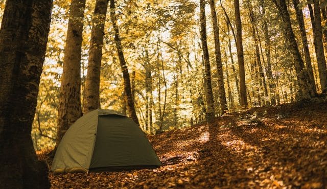
Primitive campsites without amenities or facilities. Located approximately seven miles NW of Stumphouse Ranger Station. Turn left off Hwy. 28 onto Low Water Bridge Road. Campsite is .5 miles on left.
Mountain Rest Cabins & Campground
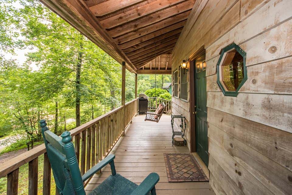
Choose from 18 Themed Chalets & Cottages, Camping or RV sites that are secluded and off the beaten path. Stroll along gentle flowing creeks, listening to Nature’s softly sung songs. Just a few minutes away from white water rafting and fly fishing on the Chattooga River.
Nantahala Outdoor Center
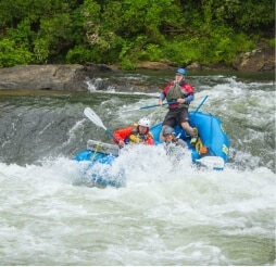
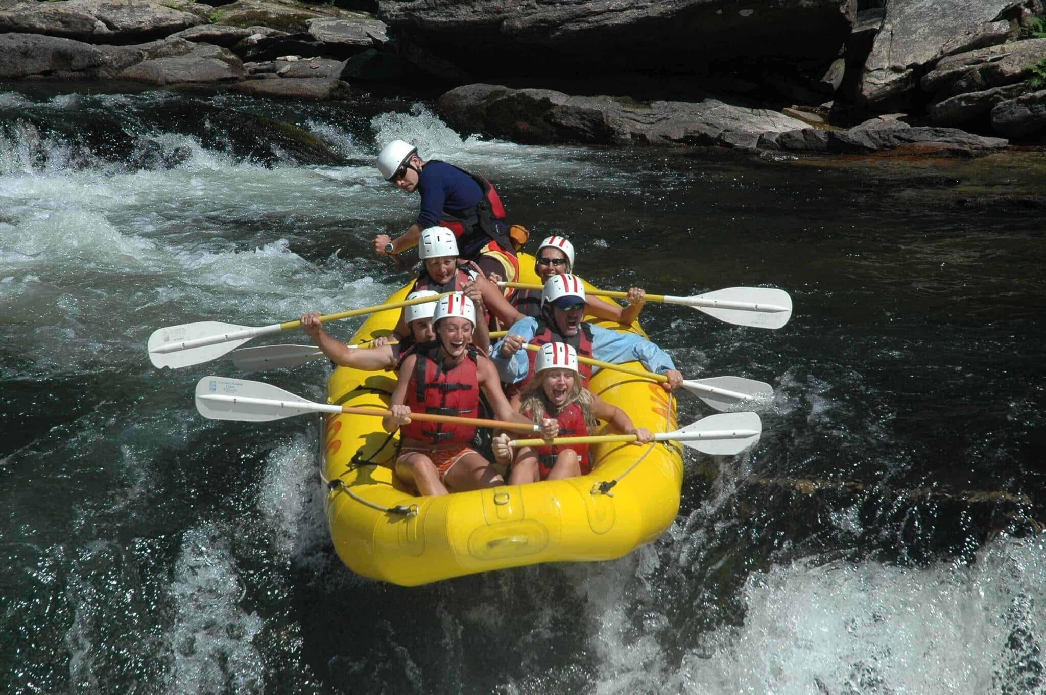
Headquartered on the Nantahala River, Nantahala Outdoor Center operates a rafting outpost on the Chattooga River also. N.O.C. offers guided trips down both Section III and Section IV. Section III is know as “Mild & Scenic” with stops at swimming holes and ends the day at Bull Sluice rapid. Section IV is the stretch of river for adventure seekers and has a quick succession of Class IV rapids.
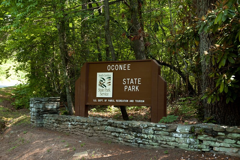
Oconee State Park
The joys of a mountain retreat without the work. The historic park rests deep in the Blue Ridge foothills, with several picturesque but non-demanding hiking trails and well-kept cabins and campgrounds that have welcomed families for annual trips since the days the park was first built by the Civilian Conservation Corps during the Great Depression. Small retail store. (Pets on leash are allowed in outdoor areas and they are allowed in cabins 14-20.)

Oscar Wigington Scenic Byway
Oconee County, SC
Get Directions >
Check out a suggested itinerary from South Carolina Department of Parks, Recreation and Tourism for scenic drives along one of South Carolina’s prettiest mountain roads.
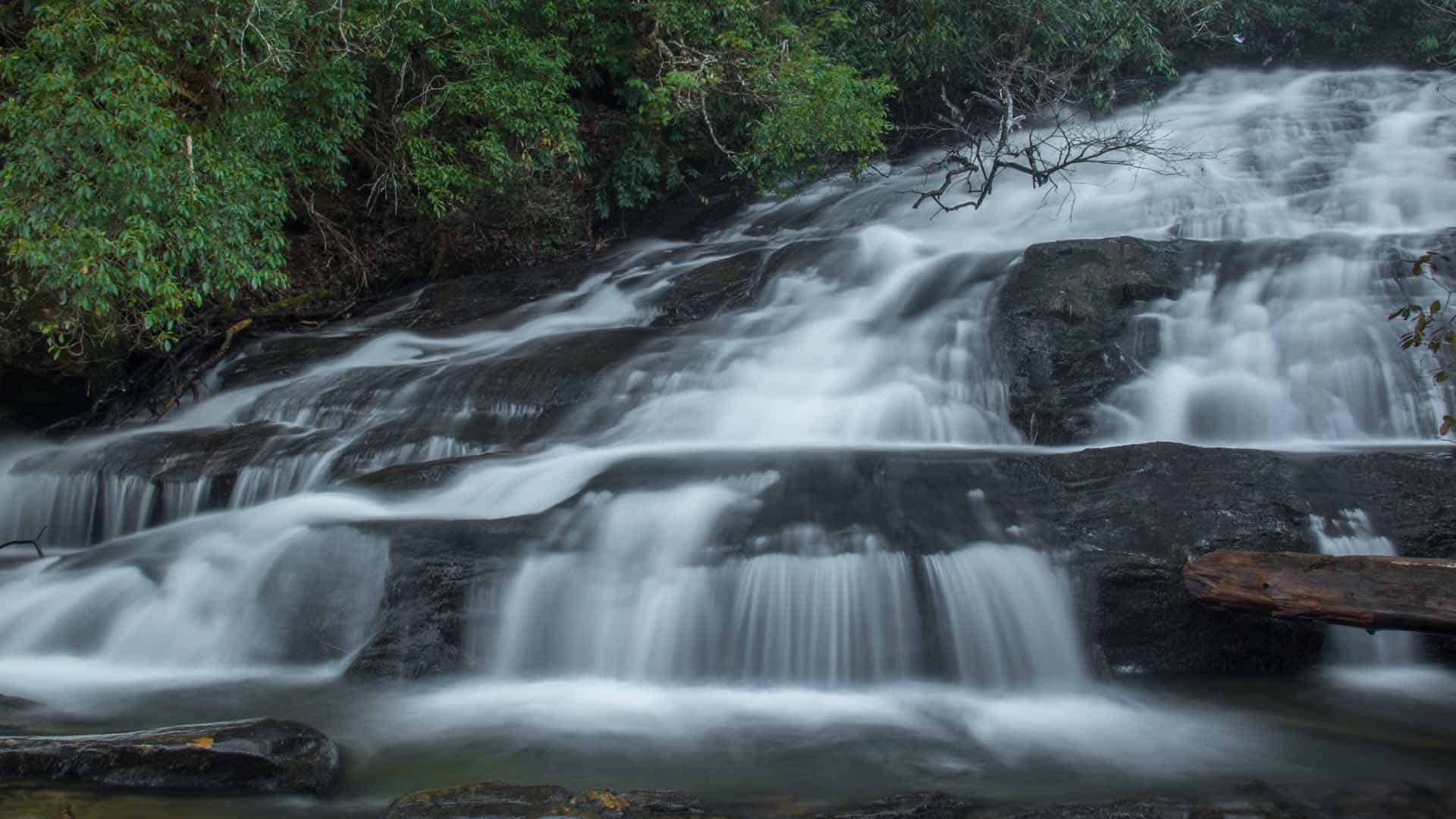
Pigpen Falls & Licklog Falls
Perfect falls for a young family. An easy one-hour hike to two sets of falls 1/4 mile apart. Pigpen will be the first falls on the left with a great swimming hole. Licklog is a short distance further on the right, and a little more difficult to view if leaves are out. Continue on the trail a few more minutes to the Chattooga River. Nice place to swim and picnic. GPS coordinates to parking area: N 34.91905 W 083.12020
Rocky Gap Horse Trails
19 miles of horse trails in the Sumter National Forest in South Carolina. Willis Knob Trail in Georgia combines to offer some of the most scenic horseback riding in the southern Blue Ridge Mountains. Winding across deeply dissected ridges, the trails descend into the beautiful Chattooga Wild & Scenic River corridor.

Slicks on the River
Mountain Rest, SC
Get Directions >
New rental home on the Chauga River. The house is very private and just steps from trout fishing in the backyard. Large covered back porch with seating and a charcoal grill. The kitchen is stocked with all utensils and cookware. 3 bedrooms, a loft with a full size bed and 2 bathrooms; sleeps 8.
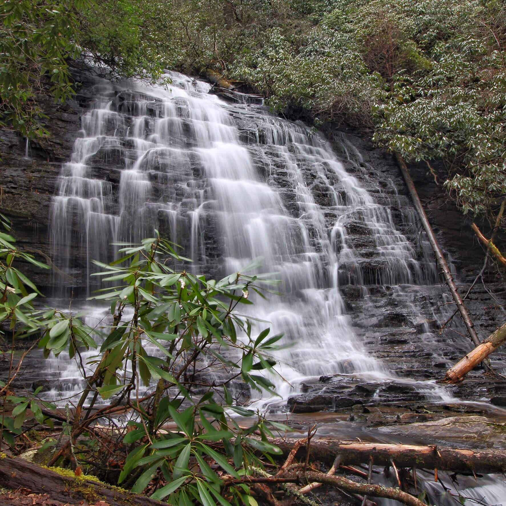
Spoonauger Falls
Two-fer waterfall opportunity. This 50 ft. waterfall is set back into a hillside and surrounded by an explosion of shrubbery. Follow the trail approximately 1/4 mile. Cross over Spoonauger Creek. King Creek Falls and the Chattooga River are in the same area. GPS coordinates to parking area: N 34.97480 W 083.11478
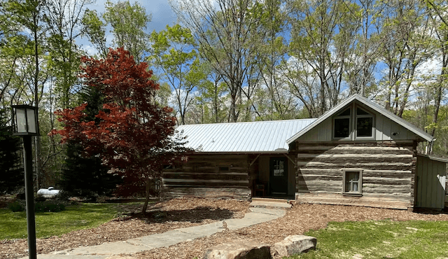
Stumphouse Cabin
Mountain Rest, SC
Get Directions >
The cabin is on ten secluded acres bordering USFS in Sumter National Forest and is within riding distance of Stumphouse Mountain Bike Park. Authentic log cabin that has been fully renovated and modernized. It has 2 bedrooms, sleeper sofa, 1 bathroom; sleeps 6.
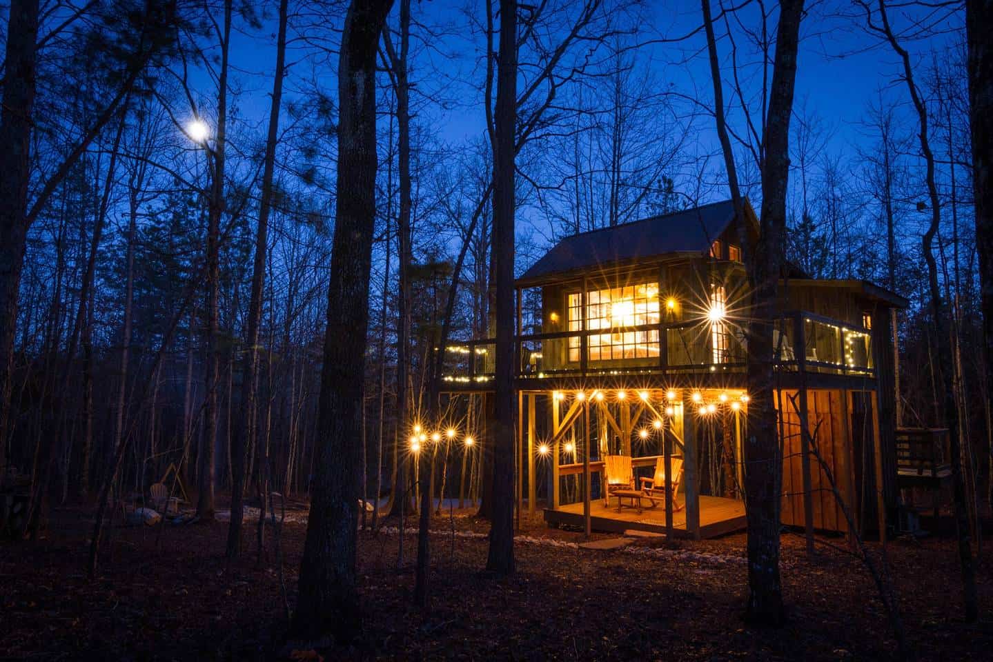
The Bella Luna Luxury Treehouse
Mountain Rest, SC
Get Directions >
Rustic chic tiny house in the trees designed as a romantic retreat for couples. King-size bed and vintage crystal chandelier, kitchenette and bathroom with huge walk-in shower has natural fossil stone tile and river rock floor. Deck with cedar rocking chairs and porch swing. This getaway is just minutes from hiking, bike trails, and breathtaking waterfalls.
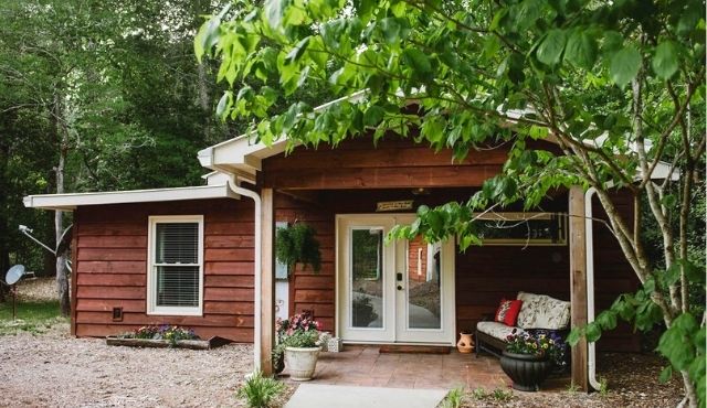
The Guest House by the river
Mountain Rest, SC
Get Directions >
Quaint place perfect for couples to getaway. House located on the Chauga River with swimming hole and beach area. One bedroom sleeps 2.
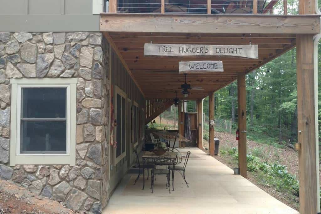
Tree Huggers Delight
Mountain Rest, SC
Get Directions >
Close to Chattooga Belle Farm, waterfalls, Chattooga River whitewater rafting, trout fishing, and the Southern Appalachian mountains. The rental is a walkout basement with its own separate entrance. This house is on 8 secluded acres in the hardwood forest. Two private bedrooms and a full sleeper-sofa in the living room. Big porch w/ outdoor shower.
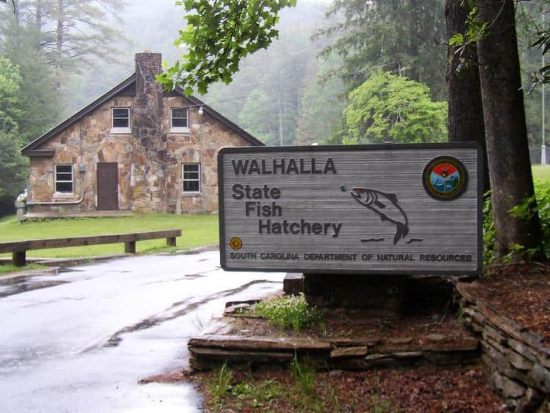
Walhalla State Fish Hatchery
Operated by the South Carolina Department of Natural Resources (SCDNR), the Walhalla State Fishery produces trout for recreational fishing. It is the only SC state hatchery involved in the culture of coldwater trout. When the trout reach an appropriate size, they are stocked wherever suitable coldwater habitat occurs in South Carolina. Visitors are welcome to tour the facility.
Whetstone Horse Camp
Access to 28 miles of nearby trails and a good base camp for riders on both the Rocky Gap (South Carolina) and Willis Knob (Georgia) horse trails. The campground is open year-round and has 18 sites with parking spurs for horse trailers. Reservation only. Sites are equipped with water, picnic tables and grills. Vault toilets and drinking water available. Hitching posts throughout the facility. Fee: $15/night.
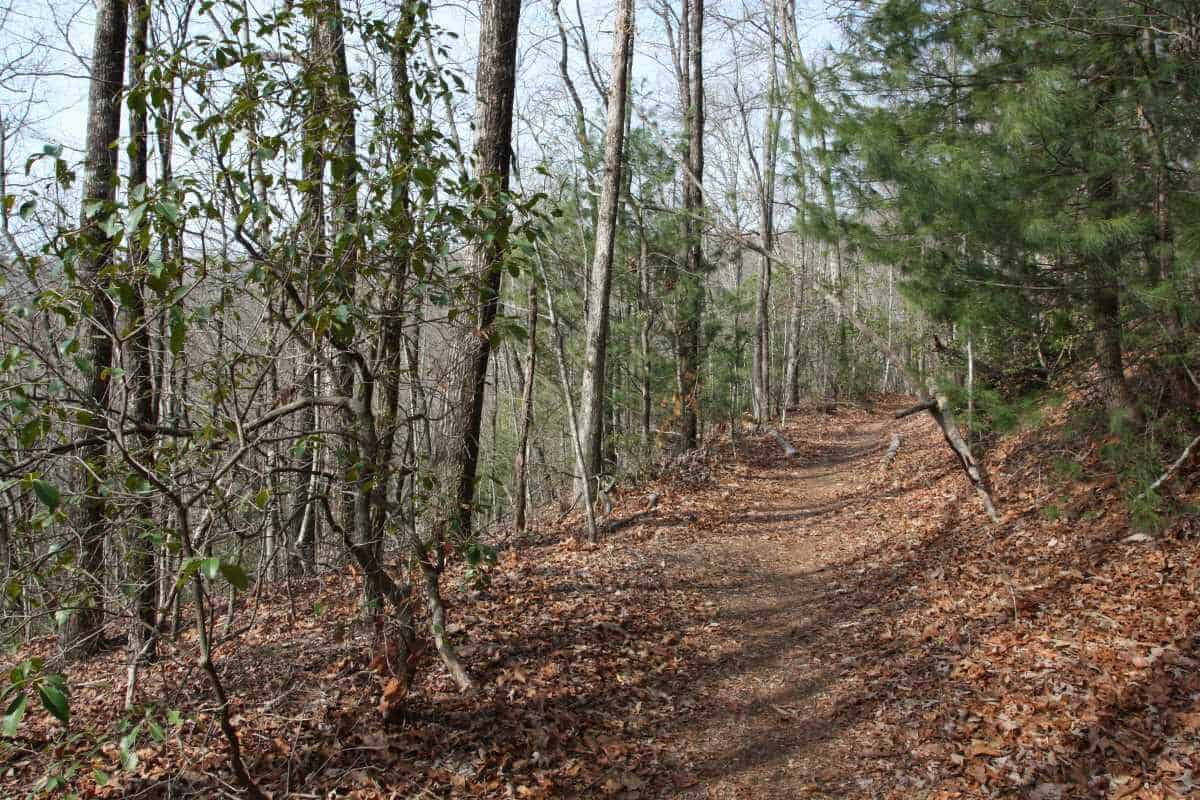
Winding Stairs Trail
A 75-ft waterfall tucked away along this accessible 3.5 mile trail makes this an interesting choice for a hike. If you start at the northern trailhead at the Cherry Hill Recreation Area, this meandering path is an easy hike, but the return trip is moderately difficult due to 1,100 foot elevation change. It is possible to be picked up by car at the southern end of the trail on Tamassee Road (FS 71). Alternatively, you can begin the hike at the southern end.
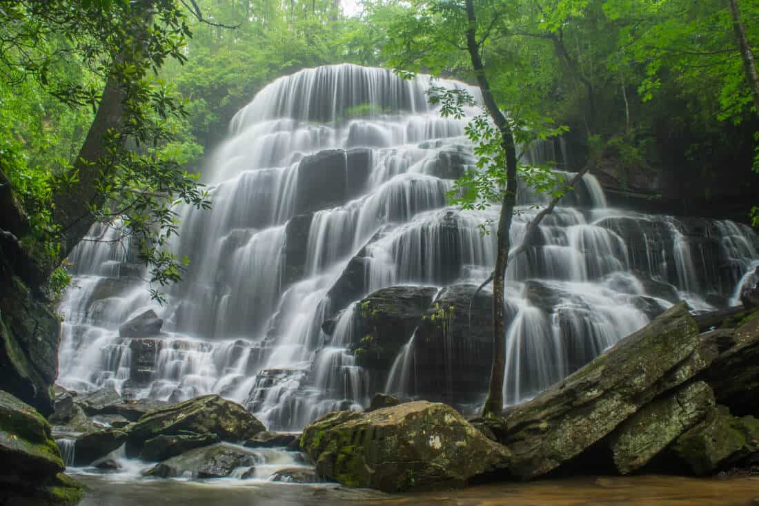
Yellow Branch Falls
CAUTION: This hike has grown in popularity which has caused the trail to become more dangerous. It takes approximately 45 minutes to reach the falls and 45 minutes back out.
Wear shoes with good traction, pack water, and be prepared for pop-up rain storms. No cell service in the forest.
Impressive 60 ft. cascade over rock ledges is a favorite destination for visitors. Hike is 3 miles round trip. CCC era picnic shelter on site. GPS coordinates to the parking area: N 34.80557 W 083.12876

